Download
3D Flyover
Add to list
More
73.8 km
~3 days
1526 m
Multi-Day
“Embark on the Mattatuck Trail for a historic, scenic hike through Connecticut's diverse landscapes and wildlife.”
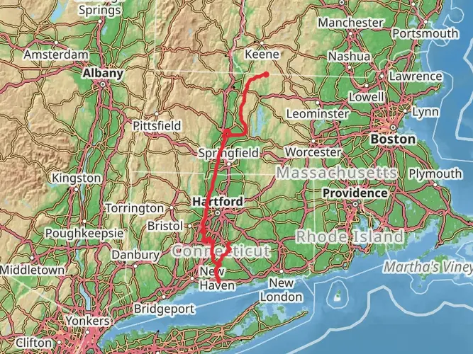
Spanning approximately 46 miles (74 kilometers) with an elevation gain of around 4921 feet (1500 meters), the Mattatuck Trail offers a diverse hiking experience through the rolling landscape of western Connecticut. This point-to-point trail is nestled near New Haven County and is considered to have a medium difficulty rating, making it accessible to hikers with a moderate level of experience.
Getting to the Trailhead
The southern terminus of the Mattatuck Trail is located near Black Rock State Park in Watertown, which is easily accessible by car. For those relying on public transportation, the nearest bus stations and train lines can be found in Waterbury, Connecticut. From there, a taxi or a ride-sharing service can be used to reach the trailhead.
Navigating the Trail
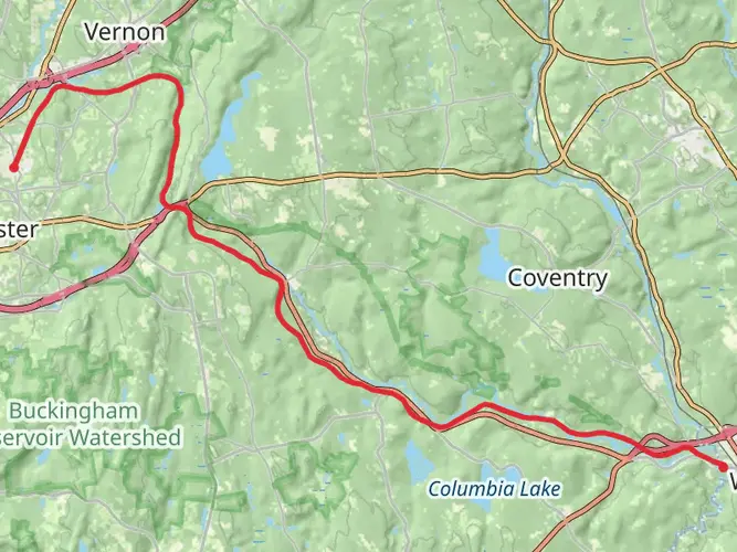
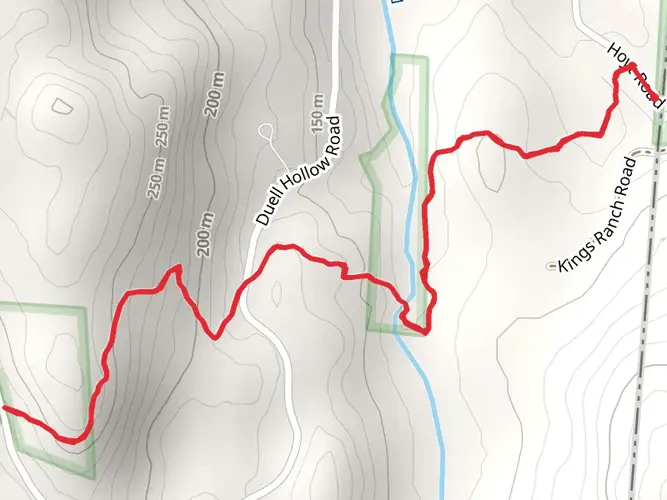
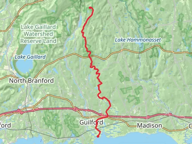
Hikers can utilize the HiiKER app to navigate the trail, ensuring they stay on the correct path and can anticipate upcoming changes in terrain or elevation. The trail is well-marked with blue blazes, guiding adventurers through a variety of landscapes including forested areas, wetlands, and rocky outcrops.
Landmarks and Scenery
As you embark on the Mattatuck Trail, you'll encounter the intriguing Leatherman's Cave, a historical landmark where a mysterious vagabond of the 19th century was known to take refuge. The trail also meanders past the fascinating ruins of old mills and industrial sites, providing a glimpse into Connecticut's industrial past.
The trail offers panoramic views from several high points, such as the Prospect Mountain and the Black Rock cliffs. These vantage points allow hikers to take in the beauty of the surrounding areas, including the Naugatuck River Valley.
Flora and Fauna
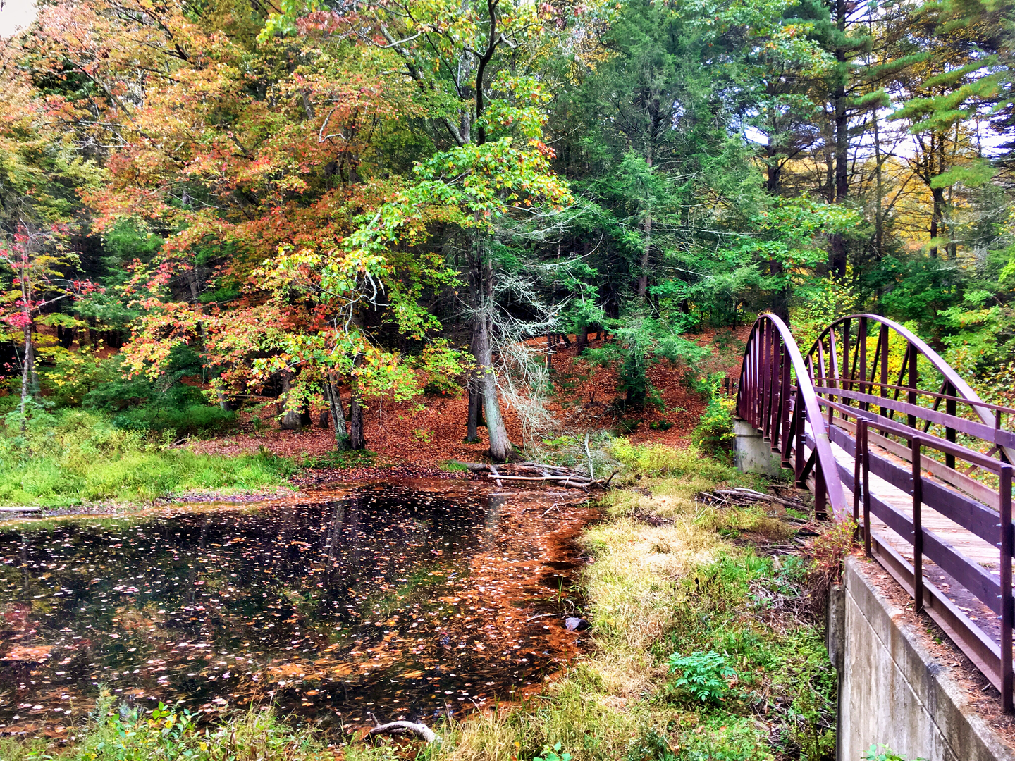
The Mattatuck Trail winds through deciduous forests, home to a variety of tree species such as oak, maple, and birch. The changing seasons bring a dynamic display of colors, from the vibrant greens of spring to the rich hues of autumn. Wildlife is abundant, with the possibility of spotting white-tailed deer, red foxes, and a diverse array of bird species.
Trail Conditions and Preparation
The trail's terrain is varied, with some sections featuring steep climbs and rocky areas that may require careful footing. It's advisable to wear sturdy hiking boots and bring trekking poles for additional support. Weather conditions can change rapidly, so hikers should be prepared with appropriate clothing and gear for rain or cooler temperatures, especially at higher elevations.
Historical Significance
The region through which the Mattatuck Trail passes is steeped in history, with ties to the early colonial period and the development of Connecticut's industry. The trail itself is a testament to the conservation efforts within the state, preserving natural landscapes and historical sites for future generations to explore and appreciate.
Conclusion
By preparing adequately and respecting the natural and historical significance of the area, hikers can enjoy a rewarding experience on the Mattatuck Trail. Whether seeking solitude, scenic views, or a touch of history, this trail provides a rich tapestry of experiences for outdoor enthusiasts.

What to expect?
Activity types
Comments and Reviews
User comments, reviews and discussions about the Mattatuck Trail, Connecticut.
4.49
average rating out of 5
1725 rating(s)