Download
3D Flyover
Add to list
More
54.8 km
~3 days
1153 m
Multi-Day
“Embark on the Tunxis Trail for a historic, scenic hike through Connecticut's diverse landscapes and geological wonders.”
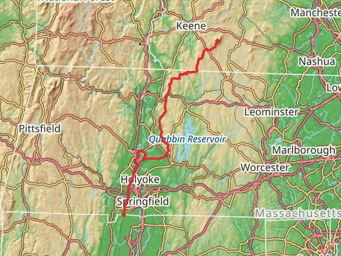
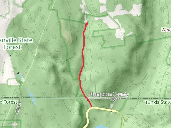
The Tunxis Trail, spanning approximately 55 kilometers (around 34 miles) with an elevation gain of around 1100 meters (approximately 3600 feet), is a point-to-point trail located near Hartford County, Connecticut. This medium-difficulty hike offers a diverse experience through the scenic landscape of the region, including lush forests, rocky outcrops, and tranquil streams.
Getting to the Trailhead
To reach the trailhead, hikers can drive to the starting point located near the intersection of Route 4 and Route 179 in Burlington, Connecticut. For those relying on public transportation, the closest bus stops are in the nearby towns, from where you can take a taxi to the trailhead.
Trail Experience
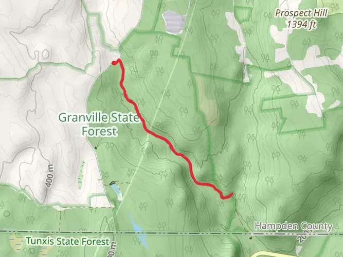
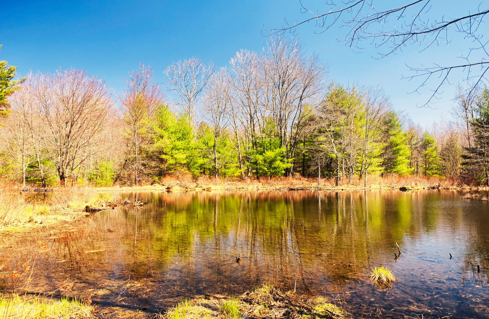
As you embark on the Tunxis Trail, you'll traverse through a variety of terrains, starting with dense woodlands that are home to a rich array of flora and fauna. Keep an eye out for white-tailed deer, wild turkeys, and an assortment of bird species that inhabit this area. The trail is well-marked with blue blazes, ensuring that navigation is straightforward. For additional navigation support, hikers can use the HiiKER app to access trail maps and waypoints.
Historical Significance
The region is steeped in history, with the trail itself named after the Tunxis Native American Tribe that once inhabited the area. As you hike, you may come across stone walls and old foundations, remnants of Connecticut's colonial past.
Landmarks and Natural Features
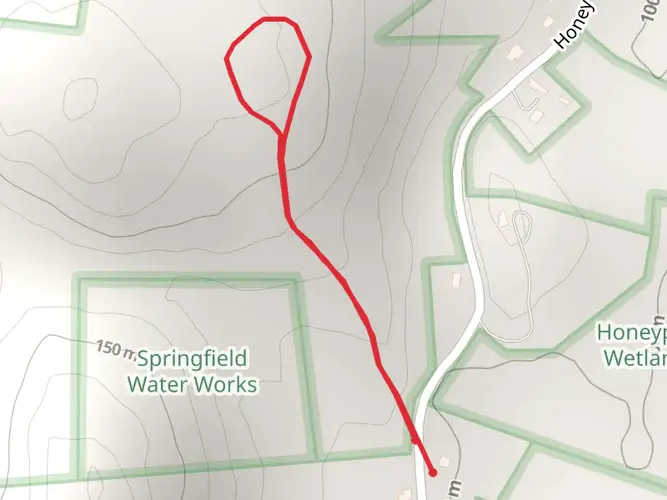
Approximately 10 kilometers (6 miles) into the hike, you'll reach the Mile of Ledges, a section known for its impressive rock formations and challenging scrambles. This is a highlight for many hikers, offering panoramic views of the surrounding landscape.
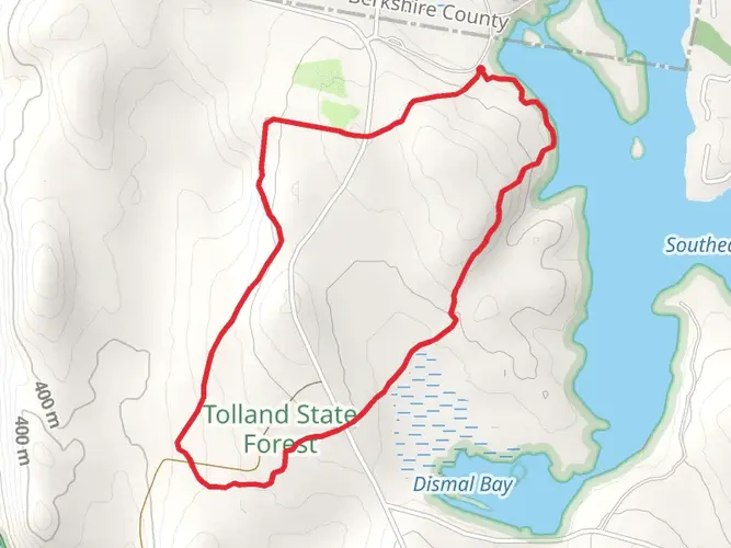
Further along, at around the 30-kilometer (18.6-mile) mark, the trail intersects with the Indian Council Caves, a series of large boulders and cave-like formations that provide a glimpse into the geological history of the area.
Trail Conditions and Preparation
The trail's terrain includes rocky paths, steep inclines, and occasional stream crossings, which can be slippery after rain. It's essential to wear sturdy hiking boots and bring trekking poles for stability. The elevation gain is gradual but noticeable, so pacing yourself and staying hydrated is crucial.
Seasonal Considerations
The Tunxis Trail is accessible year-round, but each season offers a different experience. Spring and fall are particularly beautiful with wildflowers and autumn foliage, while summer provides a lush, green canopy. Winter hiking is possible, but be prepared for snow and ice on the trail, requiring proper gear such as microspikes.
Leave No Trace
As with any outdoor activity, it's important to follow Leave No Trace principles to preserve the natural beauty of the trail. Pack out all trash, stay on marked paths, and respect wildlife and other hikers.
By preparing adequately and respecting the natural environment, hikers can enjoy the diverse and historical richness of the Tunxis Trail. Whether you're seeking a challenging adventure or a peaceful escape into nature, this trail offers an experience that caters to a variety of interests and skill levels.

What to expect?
Activity types
Comments and Reviews
User comments, reviews and discussions about the Tunxis Trail, Connecticut.
4.49
average rating out of 5
1720 rating(s)