Download
Preview
Add to list
More
51.3 km
~3 days
1078 m
Multi-Day
“Discover the Signal Butte Loop Trail's enchanting blend of Rocky Mountain vistas, diverse wildlife, and rich history.”
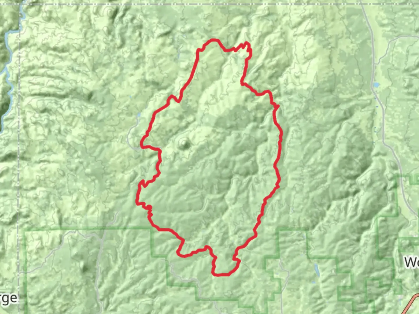
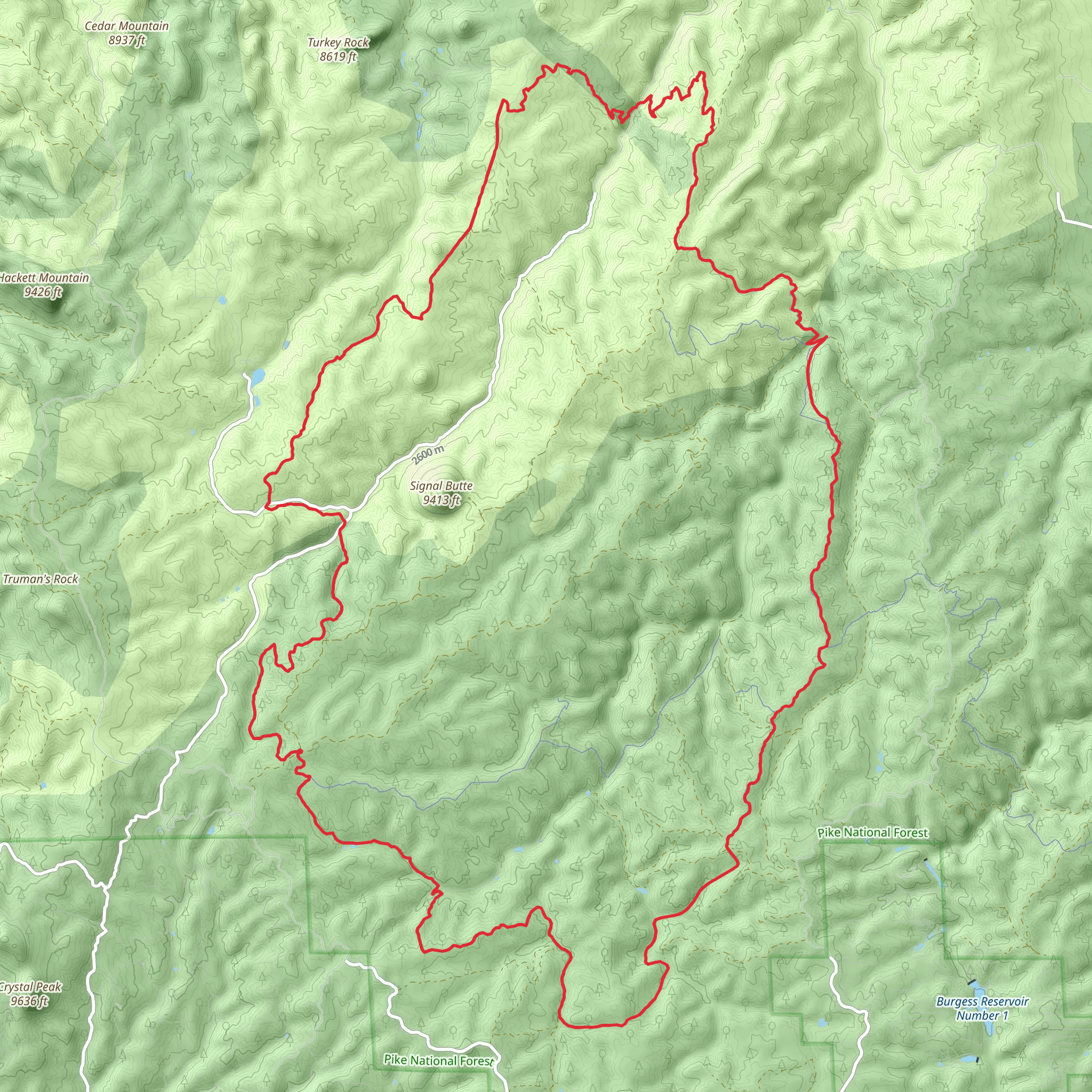
The Signal Butte Multi Use Loop Trail, nestled near Teller County, Colorado, offers an immersive experience into the heart of the Rocky Mountains. Spanning approximately 51 kilometers (around 31.7 miles) with an elevation gain of roughly 1000 meters (about 3280 feet), this trail is a medium-difficulty loop that caters to both hikers and mountain bikers seeking adventure amidst stunning landscapes.
Getting There To reach the trailhead, if you're coming by car, navigate towards Teller County, where you'll find the starting point situated just off a main access road, making it relatively easy to locate. For those opting for public transportation, check local transit schedules for the nearest routes that service the area, keeping in mind that you may need to arrange a taxi or rideshare for the final leg to the trailhead.
The Trail Experience As you embark on the Signal Butte Multi Use Loop Trail, you'll traverse a variety of terrains, including dense forests, open meadows, and rocky outcrops. The trail is well-marked, but carrying a navigation tool like HiiKER is advisable to keep track of your progress and ensure you're on the right path.
Landmarks and Scenery Throughout your journey, you'll encounter several significant landmarks. Early on, the trail meanders through aspen groves, which are particularly breathtaking during the fall when leaves turn a vibrant gold. At around the 15-kilometer (9.3 miles) mark, you'll reach a lookout point offering panoramic views of the surrounding peaks and valleys.
Flora and Fauna The area is rich in biodiversity. Keep an eye out for local wildlife such as elk, deer, and various bird species. The trail also passes through wildflower fields, especially abundant in the late spring and early summer months.
Historical Significance The region around Signal Butte is steeped in history. The Ute people originally inhabited these lands, and as you hike, you'll be walking paths that were once used by these indigenous communities. Additionally, the area played a role during Colorado's mining boom in the late 19th century, and remnants of old mines can be seen from certain vantage points along the trail.
Preparation and Safety Before setting out, ensure you're prepared with adequate water, food, and layers of clothing to adapt to the unpredictable mountain weather. The trail's elevation gain is gradual but can be challenging, so pace yourself and be prepared for some steep sections. It's also wise to inform someone of your hiking plans and expected return time.
Navigation and Trail Etiquette While on the trail, practice Leave No Trace principles to preserve the natural beauty of the area. As this is a multi-use trail, be courteous to mountain bikers and other trail users you may encounter. Always stay to the right and yield to uphill traffic.
Remember, the Signal Butte Multi Use Loop Trail is a journey through both natural splendor and historical intrigue. With the right preparation and respect for the environment, it promises to be an enriching outdoor experience.
Comments and Reviews
User comments, reviews and discussions about the Signal Butte Multi Use Loop Trail, Colorado.
4.0
average rating out of 5
1 rating(s)
