Download
Preview
Add to list
More
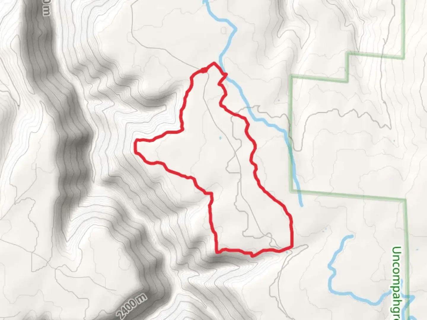
9.2 km
~1 hrs 56 min
69 m
Loop
“Explore the easy, scenic Naturita Rim Loop Trail, where history and nature embrace Colorado's serene beauty.”
The Naturita Rim Loop Trail, nestled near San Miguel County in Colorado, offers an easy yet rewarding hiking experience for those looking to explore the scenic beauty of the area. Spanning approximately 9 kilometers (about 5.6 miles), this trail boasts a minimal elevation gain, making it accessible for hikers of all skill levels.
Getting to the Trailhead To reach the starting point of the Naturita Rim Loop Trail, hikers can drive to the vicinity of San Miguel County. The trailhead is conveniently located, and parking is typically available near the entrance. For those relying on public transportation, checking local transit schedules for the nearest drop-off points to the trailhead is advisable. Once there, hikers can use the HiiKER app to navigate the trail and track their progress.
Trail Experience As you embark on the Naturita Rim Loop Trail, you'll be greeted by a diverse landscape that includes a mix of high desert flora and fauna. The trail is well-marked and meanders through a series of gentle inclines and declines, with the total elevation gain being negligible, ensuring a leisurely hike.
Flora and Fauna Throughout the hike, you'll have the opportunity to observe a variety of plant species native to the Colorado Plateau. Keep an eye out for the colorful wildflowers that bloom in the spring and the hardy shrubs that dot the landscape. Wildlife sightings may include mule deer, various bird species, and the occasional rabbit, all coexisting within this serene environment.
Historical Significance The region surrounding the Naturita Rim Loop Trail is steeped in history. The area was once inhabited by the Ute people, and later by miners and settlers who came in search of fortune and a new life. As you traverse the trail, you may come across remnants of the past, such as old mining equipment or structures that hark back to the days of the Wild West.
Landmarks and Views One of the highlights of the Naturita Rim Loop Trail is the panoramic views it offers. At certain vantage points along the rim, hikers can pause to take in the breathtaking vistas of the surrounding valleys and distant mountain ranges. These spots are perfect for a rest or a photo opportunity to capture the natural beauty of the area.
Preparation and Planning Before setting out on the Naturita Rim Loop Trail, it's important to come prepared. Even though the trail is rated as easy, it's essential to wear appropriate footwear and bring plenty of water, especially during the warmer months. Sun protection, such as a hat and sunscreen, is also recommended due to the open nature of the landscape and the high altitude sun.
Navigation For those looking to enhance their hiking experience, the HiiKER app provides detailed maps and navigation tools to ensure you stay on the right path. With the app, you can also access information about the trail and its features, helping you to plan your hike effectively.
Whether you're a seasoned hiker or someone looking for a peaceful walk in nature, the Naturita Rim Loop Trail is a delightful choice that promises a memorable outdoor adventure amidst the stunning backdrop of Colorado's wilderness.

Comments and Reviews
User comments, reviews and discussions about the Naturita Rim Loop Trail, Colorado.
average rating out of 5
0 rating(s)