Download
Preview
Add to list
More
12.2 km
~3 hrs 27 min
614 m
Loop
“Embark on the Mica Basin Trail's transformative hike, traversing enchanting forests and meadows to serene, alpine tranquility.”
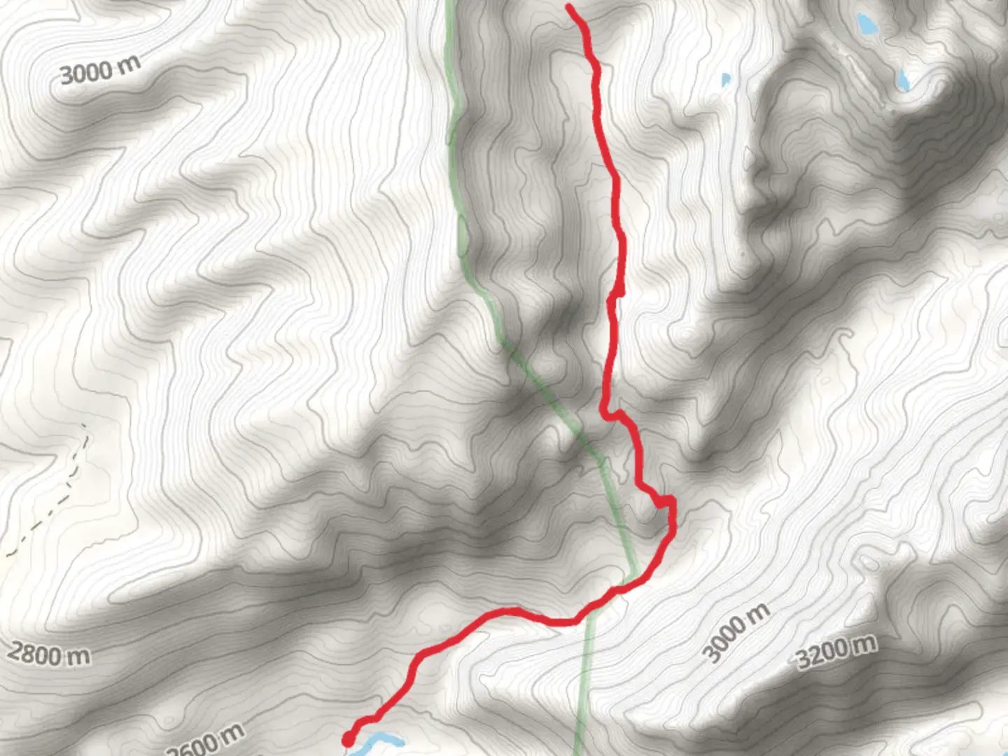
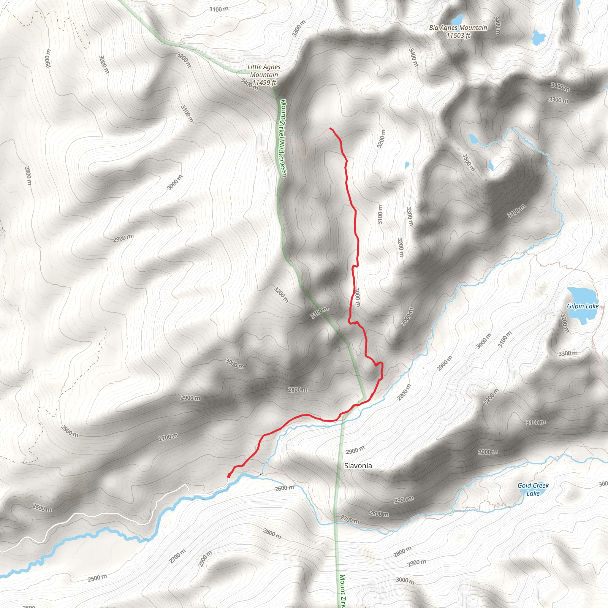
The Mica Basin Trail, nestled in the heart of the Routt National Forest, offers a challenging yet rewarding experience for avid hikers. With a round trip distance of approximately 12 kilometers (7.5 miles) and an elevation gain of about 600 meters (nearly 2000 feet), this trail is not for the faint of heart. The trailhead is conveniently located near Routt County, Colorado, and is accessible by car. To reach the starting point, take County Road 129 north from Steamboat Springs. After about 30 kilometers (18 miles), turn right onto Seedhouse Road (Forest Road 400) and continue for about 16 kilometers (10 miles) to the Slavonia Trailhead.
Navigating the Trail
As you embark on the Mica Basin Trail, you'll begin a steady climb through a coniferous forest, with the sound of rushing water from nearby creeks as your soundtrack. The trail is well-defined, but it's always wise to have a reliable navigation tool like HiiKER on hand to ensure you stay on the right path. After about 3 kilometers (2 miles), the trail opens up to reveal stunning meadows dotted with wildflowers, particularly vibrant in the late spring and summer months.
Continuing on, the ascent becomes more pronounced as you navigate rocky switchbacks. The views here are spectacular, with panoramic vistas of the surrounding peaks. Keep an eye out for wildlife, as the area is home to elk, mule deer, and various bird species. Remember to keep a safe distance from any wildlife you encounter.
Historical Significance and Landmarks
The region around the Mica Basin Trail is steeped in history. The Ute Indians originally inhabited this area, and evidence of their presence can be seen in various artifacts and cultural sites. As you hike, imagine the Ute traversing these same paths centuries ago.
One of the trail's significant landmarks is the Mica Basin itself, which you'll reach after about 6 kilometers (3.7 miles). The basin is a serene, alpine environment that offers a sense of seclusion and tranquility. It's an ideal spot to rest and take in the beauty of the Rockies.
Preparing for the Hike
Given the trail's difficulty rating, it's essential to prepare adequately. Ensure you have enough water, as there are limited sources along the route, and be prepared for sudden weather changes, which are common in the mountains. Sturdy hiking boots are a must, as the terrain can be rough and uneven. Also, consider packing a jacket, as temperatures can drop significantly at higher elevations.
Access to the Trailhead
For those without a car, accessing the trailhead can be a challenge, as public transportation options are limited. However, during the summer months, there may be shuttle services from Steamboat Springs to popular trailheads. It's best to check local resources for the most current information on transportation options.
Remember, the Mica Basin Trail is a true backcountry experience. It's crucial to leave no trace of your visit to preserve the natural beauty and ecological integrity of the area for future generations. Happy hiking!
Comments and Reviews
User comments, reviews and discussions about the Mica Basin Trail, Colorado.
average rating out of 5
0 rating(s)
