Download
Preview
Add to list
More
21.5 km
~2 days
669 m
Multi-Day
“Trek the West Miller Rim loop for a moderate hike through Colorado's history-rich and wildlife-abundant highlands.”
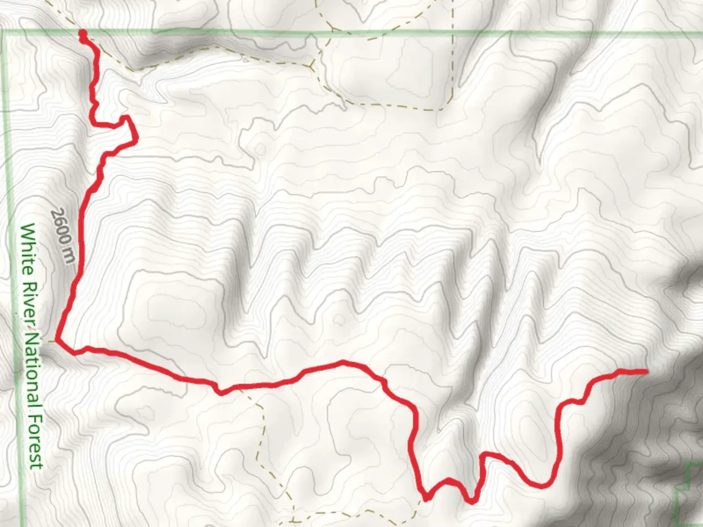
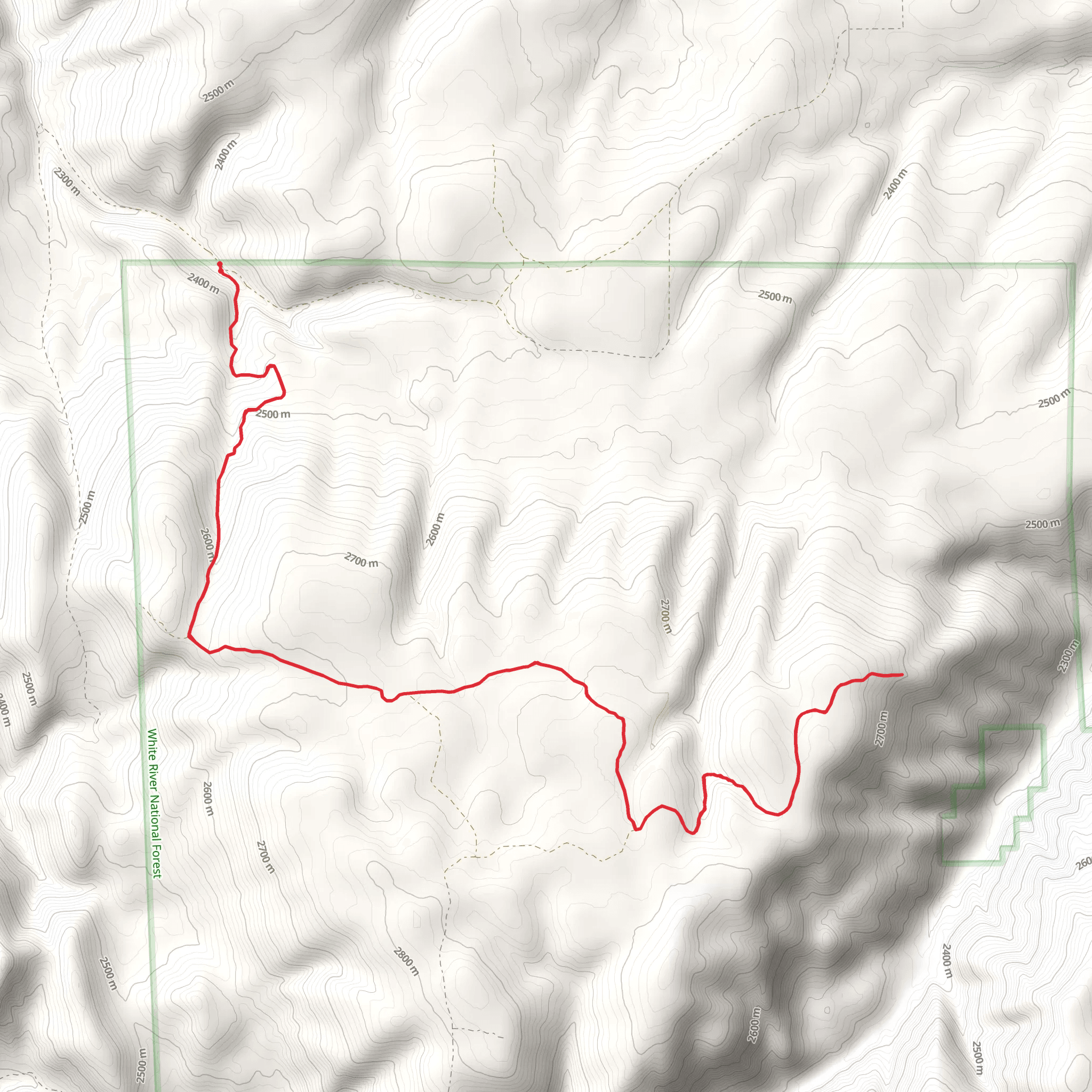
Embarking on the West Miller Rim via Hay Flat Trail, hikers will find themselves exploring the diverse landscapes near Rio Blanco County, Colorado. This loop trail spans approximately 22 kilometers (about 13.7 miles) and features an elevation gain of around 600 meters (roughly 1968 feet), offering a moderately challenging adventure suitable for those with some hiking experience.
Getting to the Trailhead
To reach the trailhead, which is situated in the remote areas of northwest Colorado, hikers can drive to the nearest known landmark, the town of Meeker. From Meeker, take County Road 8 towards Buford for about 28 kilometers (17 miles). Turn north onto County Road 17 and continue for approximately 11 kilometers (7 miles) until reaching the Hay Flat turnoff. The trailhead is accessible by most vehicles, but it's always wise to check road conditions before setting out, especially after inclement weather.
Navigating the Trail
For navigation, hikers should download the HiiKER app to access detailed maps and GPS coordinates, ensuring a reliable guide throughout the journey. The trail begins by meandering through a mix of open meadows and aspen groves, providing a gentle start to the hike. As you progress, the incline becomes more pronounced, leading to the first significant elevation gain.
Natural Landmarks and Wildlife
As the trail ascends, hikers will be treated to stunning views of the surrounding White River National Forest, known for its rich biodiversity. Keep an eye out for local wildlife, including elk, mule deer, and an array of bird species. The trail continues to wind through dense stands of conifers, and during the spring and summer months, the area is abloom with wildflowers, adding a splash of color to the landscape.
Historical Significance
The region holds historical significance as part of the Ute Indian territory before the arrival of European settlers. As you hike, consider the centuries of history beneath your feet, from Native American hunting paths to pioneer trails.
Challenging Sections and Views
Approaching the halfway point, the trail becomes more challenging with steeper sections that may require careful footing. After approximately 11 kilometers (7 miles), hikers reach the West Miller Rim, the highest point on the trail. Here, you are rewarded with panoramic views of the Flat Tops Wilderness and the distant Marvine Peak. It's an ideal spot to rest and take in the scenery before beginning the descent.
Descent and Loop Completion
The return journey follows a different path, looping back towards the trailhead and offering fresh perspectives of the valley below. The descent is gradual, allowing hikers to enjoy the changing landscapes without the strenuous effort required on the ascent.
Preparation and Safety
Before setting out, hikers should prepare for variable weather conditions, as the high elevation can lead to sudden changes. It's essential to carry adequate water, food, and layers of clothing. Additionally, informing someone of your hiking plans and expected return time is a good safety practice.
Accessing the Trail
For those without a car, reaching the trailhead can be challenging due to the remote location. However, car rentals are available in nearby towns, and some local outfitters may offer shuttle services to popular trailheads for a fee.
By preparing adequately and respecting the natural environment, hikers can look forward to an enriching experience on the West Miller Rim via Hay Flat Trail, immersed in the beauty and history of Colorado's wilderness.
Comments and Reviews
User comments, reviews and discussions about the West Miller Rim via Hay Flat Trail, Colorado.
4.8
average rating out of 5
5 rating(s)
