Download
Preview
Add to list
More
20.9 km
~4 hrs 59 min
484 m
Out and Back
“Explore Hackberry Canyon's 21 km trail, rich in ancient ruins, wildlife, and stunning canyon views.”
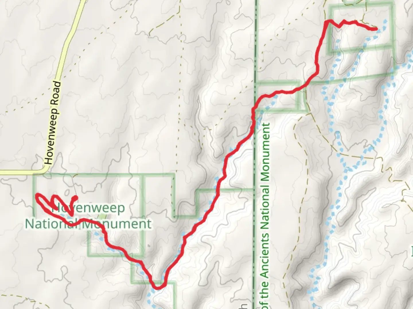
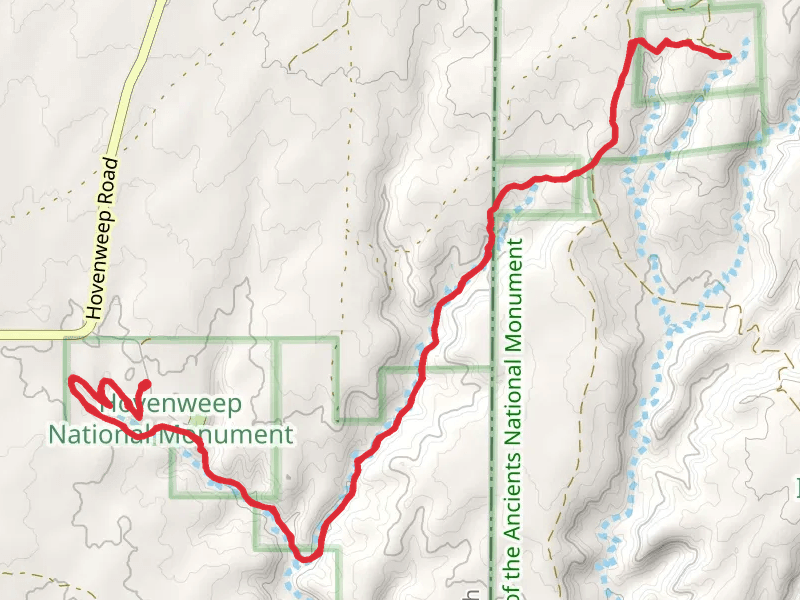
Starting near Montezuma County, Colorado, the Hackberry Canyon via Ruins Trail is an out-and-back adventure spanning approximately 21 kilometers (13 miles) with an elevation gain of around 400 meters (1,312 feet). This trail is rated as medium difficulty, making it suitable for moderately experienced hikers.
Getting There To reach the trailhead, you can drive or use public transport. If driving, head towards Montezuma County, Colorado, and look for the nearest significant landmark, which is the town of Cortez. From Cortez, follow local roads to the trailhead. Public transport options include buses that run to Cortez, from where you may need to arrange a taxi or rideshare to the trailhead.
Trail Overview The trail begins with a gentle ascent through a landscape rich in juniper and pinyon pine trees. As you progress, the trail becomes more rugged, with rocky outcrops and narrow passages. The first significant landmark is a series of ancient ruins located about 5 kilometers (3.1 miles) into the hike. These ruins are remnants of the Ancestral Puebloans, offering a glimpse into the region's historical significance.
Historical Significance The Ancestral Puebloans, who inhabited this area over a thousand years ago, left behind a wealth of archaeological sites. The ruins along this trail are particularly well-preserved, featuring stone structures and petroglyphs. Take some time to explore these ruins, but remember to respect the site by not disturbing any artifacts.
Wildlife and Nature As you continue, the trail meanders through Hackberry Canyon, where you'll encounter diverse flora and fauna. Keep an eye out for mule deer, coyotes, and various bird species such as hawks and eagles. The canyon walls are adorned with vibrant wildflowers in the spring and early summer, adding a splash of color to the rugged terrain.
Navigation Navigating this trail is straightforward, but it's always wise to have a reliable navigation tool. HiiKER is an excellent app for this purpose, providing detailed maps and real-time updates. The trail is well-marked, but some sections can be confusing due to intersecting paths, so having HiiKER will ensure you stay on track.
Elevation and Terrain The elevation gain of 400 meters (1,312 feet) is spread out over the entire trail, with the steepest sections occurring in the middle. The terrain varies from sandy paths to rocky inclines, requiring sturdy hiking boots for optimal traction and support. Trekking poles can also be beneficial, especially during the steeper ascents and descents.
Points of Interest Around the 10-kilometer (6.2-mile) mark, you'll reach a stunning viewpoint overlooking the canyon. This is an excellent spot for a break and some photography. The trail then descends slightly before reaching the turnaround point, where you can enjoy a serene section of the canyon with a small, seasonal stream.
Preparation Given the trail's length and moderate difficulty, it's essential to come prepared. Carry at least 2 liters (0.5 gallons) of water per person, along with high-energy snacks. Weather can be unpredictable, so pack layers and a rain jacket. A first-aid kit and a fully charged phone with the HiiKER app are also recommended.
This trail offers a blend of natural beauty, historical intrigue, and moderate physical challenge, making it a rewarding experience for those who venture into Hackberry Canyon.
What to expect?
Activity types
Comments and Reviews
User comments, reviews and discussions about the Hackberry Canyon via Ruins Trail, Colorado.
4.8
average rating out of 5
5 rating(s)
