Download
Preview
Add to list
More
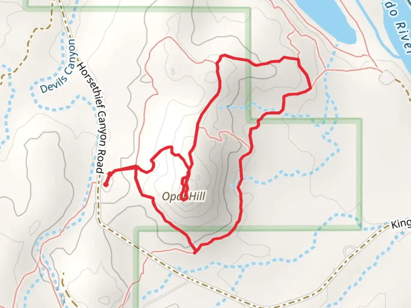
3.0 km
~46 min
97 m
Loop
“Explore the Opal Hill Loop Trail's serene beauty, where history and wildlife thrive amidst Colorado's semi-arid grandeur.”
The Opal Hill Loop Trail, nestled near Mesa County, Colorado, offers hikers a moderately challenging experience with its approximately 3 km (about 1.9 miles) distance and negligible elevation gain, making it an accessible adventure for those with a reasonable level of fitness.
Getting There
To reach the trailhead, visitors can drive to the nearest known landmark, which is the Bangs Canyon Recreation Area. From Grand Junction, take Grand Ave to S 5th St and continue onto CO-340 W/Broadway. Follow Monument Rd to D Rd, and then take Rosevale Rd to Little Park Rd. The trailhead is located off Little Park Road, and parking is available in the designated area. Public transport options are limited in this region, so arriving by car is recommended.
Trail Experience
As you embark on the Opal Hill Loop Trail, you'll be greeted by the semi-arid landscape typical of the Colorado Plateau. The trail meanders through a mix of pinyon-juniper woodlands and open shrublands, offering a variety of scenery. Keep an eye out for the vibrant wildflowers that dot the landscape in the spring and early summer.
Wildlife and Flora
The area is home to a diverse range of wildlife. It's not uncommon to spot desert cottontails, collared lizards, and the occasional red-tailed hawk soaring above. The trail is also a habitat for mule deer, so be on the lookout for these graceful creatures, especially during dawn and dusk.
Historical Significance
The region around the Opal Hill Loop Trail is steeped in history. The Colorado Plateau has been inhabited by Native American tribes for thousands of years, and the Ute tribe has a significant historical presence in Mesa County. As you hike, imagine the Ute people traversing these lands, living in harmony with the rugged terrain.
Navigation
For navigation purposes, the HiiKER app is a reliable tool to guide you along the Opal Hill Loop Trail. It can help you stay on track and provide real-time updates on your location within the loop.
Preparation and Planning
Before setting out, ensure you have enough water, as the arid climate can lead to dehydration. Wearing sun protection, such as a hat and sunscreen, is also advisable. The trail is well-marked, but carrying a map or using the HiiKER app will help prevent any wrong turns. Lastly, always check the weather forecast, as conditions can change rapidly in this region.
By preparing accordingly and respecting the natural and historical significance of the area, hikers can fully enjoy the beauty and tranquility of the Opal Hill Loop Trail.

What to expect?
Activity types
Comments and Reviews
User comments, reviews and discussions about the Opal Hill Loop Trail, Colorado.
4.27
average rating out of 5
11 rating(s)