Download
3D Flyover
Add to list
More
57.7 km
~3 days
1527 m
Multi-Day
“Embark on a historic trek through Colorado's diverse Weminuche wilderness, brimming with wildlife and panoramic vistas.”
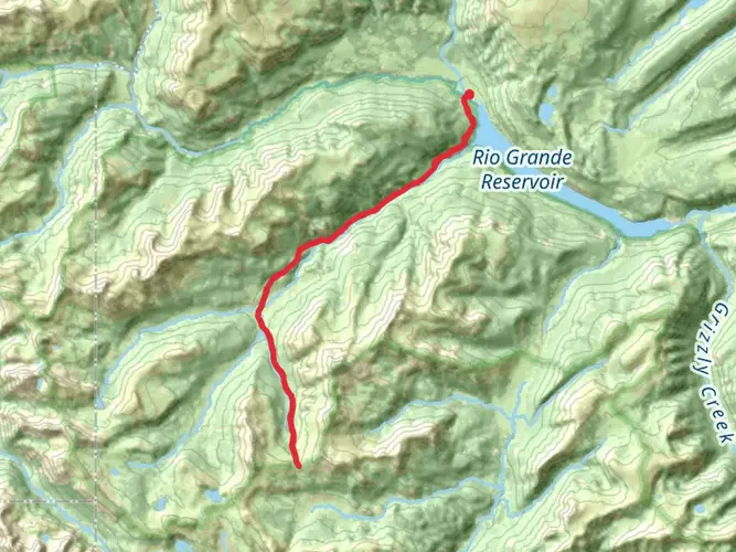
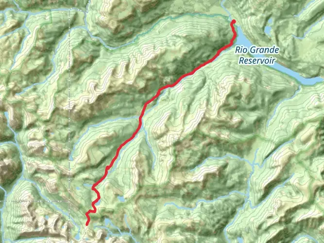
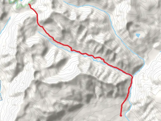
Embarking on the Weminuche Pass Continental Divide Loop, hikers will traverse approximately 58 kilometers (36 miles) of Colorado's pristine wilderness, with an elevation gain of around 1500 meters (4921 feet). This loop, nestled in the heart of the San Juan Mountains near Hinsdale County, offers a medium difficulty rating, making it accessible to hikers with a moderate level of experience.
Getting to the Trailhead
To reach the trailhead, which is situated near the town of Pagosa Springs, hikers can drive to the end of East Fork Road, where parking is available. For those relying on public transportation, options are limited, but during the summer months, shuttle services may be available from Pagosa Springs to various trailheads within the San Juan National Forest.
Navigating the Trail
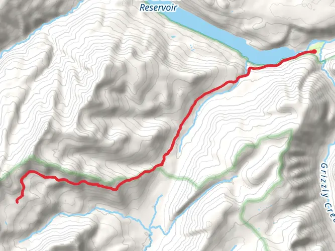
Hikers can utilize the HiiKER app to navigate the trail, ensuring they stay on the correct path throughout their journey. The loop can be tackled in either direction, but many choose to go clockwise to gradually acclimate to the higher elevations.
Trail Highlights and Landmarks
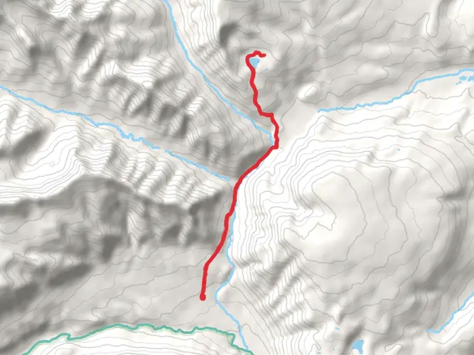
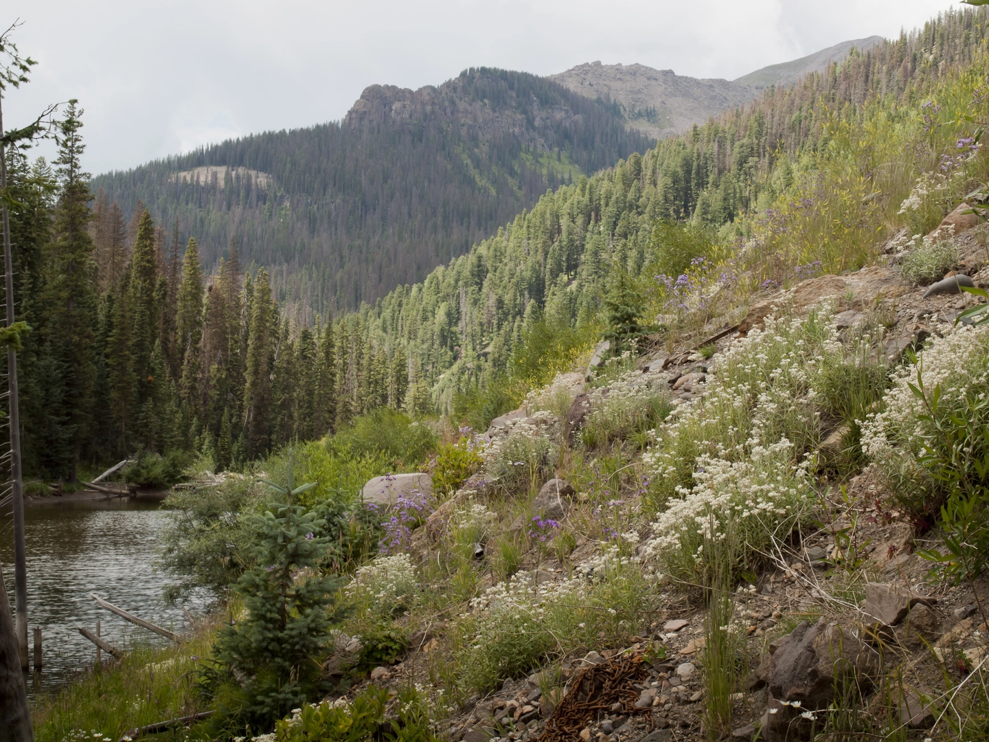
The trail meanders through diverse landscapes, including lush meadows, dense forests, and alpine tundra. One of the first significant landmarks encountered is the Weminuche Pass, which offers panoramic views of the surrounding peaks and valleys. As hikers ascend, they will pass by the remnants of old mining operations, a nod to the region's rich history during the Colorado Gold Rush.
Further along, the trail intersects with the Continental Divide Trail (CDT), one of the country's most famous long-distance hiking trails. This section provides a sense of camaraderie, as hikers may encounter thru-hikers tackling the entire CDT.
Flora and Fauna
The Weminuche Wilderness is home to a wide array of wildlife, including elk, mule deer, black bears, and mountain lions. Hikers should be prepared for encounters and know how to safely observe wildlife from a distance. The trail also boasts a variety of plant life, from wildflowers to ancient bristlecone pines, offering a vibrant display of colors throughout the seasons.
Weather and Preparation
Due to the high elevation, weather can be unpredictable, and hikers should be prepared for sudden changes, including afternoon thunderstorms in the summer. It's essential to pack layers, rain gear, and a reliable map or GPS device, such as the HiiKER app, for navigation.
Historical Significance
The Weminuche Wilderness, named after the Ute tribe's Weminuche band, is steeped in history. The Utes once roamed these mountains, and evidence of their presence can be found throughout the area. Additionally, the mining ruins along the trail serve as a reminder of the 19th-century miners who sought fortune in these rugged mountains.
Conclusion
The Weminuche Pass Continental Divide Loop is a journey through time, nature, and the heart of the Colorado wilderness. With its moderate difficulty, it offers an immersive experience for those looking to explore the beauty and history of the San Juan Mountains. Whether you're a seasoned hiker or someone looking to push your boundaries, this trail promises an unforgettable adventure.

What to expect?
Activity types
Comments and Reviews
User comments, reviews and discussions about the Weminuche Pass Continental Divide Loop, Colorado.
4.44
average rating out of 5
9 rating(s)