Download
Preview
Add to list
More
9.8 km
~2 hrs 42 min
442 m
Out and Back
“Embark on Berthoud Pass West's scenic hike through history and Colorado's majestic Rockies.”
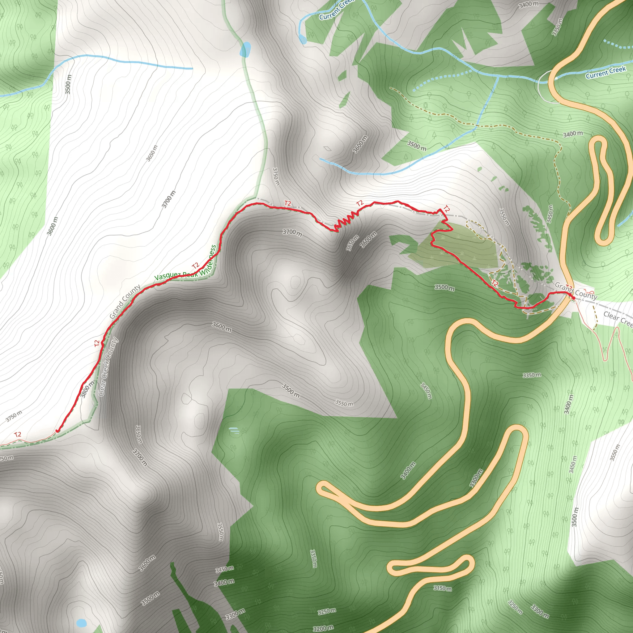
Nestled in the heart of the Rocky Mountains near Grand County, Colorado, the Berthoud Pass West trail offers a moderately challenging hike that spans approximately 10 kilometers (about 6.2 miles) with an elevation gain of roughly 400 meters (around 1,312 feet). This out-and-back trail is a favorite among hikers looking to experience the beauty of the Continental Divide without the commitment of a full-day trek.
Getting to the Trailhead
To reach the trailhead, you can drive or take public transportation. If driving, take U.S. Highway 40 to Berthoud Pass, which is situated between Winter Park and Empire. The parking area is located at the summit of the pass, and from there, the trailhead is easily accessible. For those opting for public transport, check local shuttle services that run from nearby towns to the Berthoud Pass area.
The Hike Itself
As you embark on your hike, the trail begins with a series of switchbacks that gradually ascend the western slope of the pass. The path is well-defined and winds through subalpine forests, offering glimpses of the surrounding peaks. Approximately 2 kilometers (1.2 miles) in, you'll reach an open meadow that provides a panoramic view of the Fraser Valley and the Indian Peaks Wilderness.
Flora and Fauna
The trail continues through diverse ecosystems, where you'll encounter wildflowers in the summer, including the vibrant Colorado state flower, the blue columbine. Keep an eye out for wildlife such as marmots, pikas, and the occasional elk or moose. Birdwatchers may also spot a variety of high-altitude avian species.
Historical Significance
The region around Berthoud Pass holds a rich history. The pass itself is named after Edward Berthoud, who, along with Jim Bridger, scouted the route in the mid-1800s. It became a vital corridor for miners and settlers and later for motorists with the construction of the road. As you hike, consider the historical significance of this area as a gateway to the Rocky Mountains.
Navigation and Preparation
Before heading out, it's advisable to download the trail map onto your HiiKER app to assist with navigation. The trail is well-marked, but having a digital map can be invaluable in ensuring you stay on the correct path. Be prepared for changing weather conditions at high altitude and bring appropriate gear, including layers, water, and sun protection.
Elevation and Terrain
The trail's highest point is at approximately 3.5 kilometers (just over 2 miles) in, where you'll find yourself at an elevation that offers stunning views of the Continental Divide. The terrain here can be rocky and uneven, so sturdy hiking boots are recommended.
Conclusion
As you make your way back to the trailhead, take a moment to appreciate the sweeping vistas and the tranquility of the Rockies. The Berthoud Pass West trail is a rewarding hike that offers a glimpse into the natural and historical tapestry of Colorado.
What to expect?
Activity types
Comments and Reviews
User comments, reviews and discussions about the Berthoud Pass West, Colorado.
4.4
average rating out of 5
5 rating(s)
