Download
Preview
Add to list
More
2.5 km
~41 min
115 m
Out and Back
“Embark on a rejuvenating hike through After Burn Trail's history-laden paths leading to majestic Colorado panoramas.”
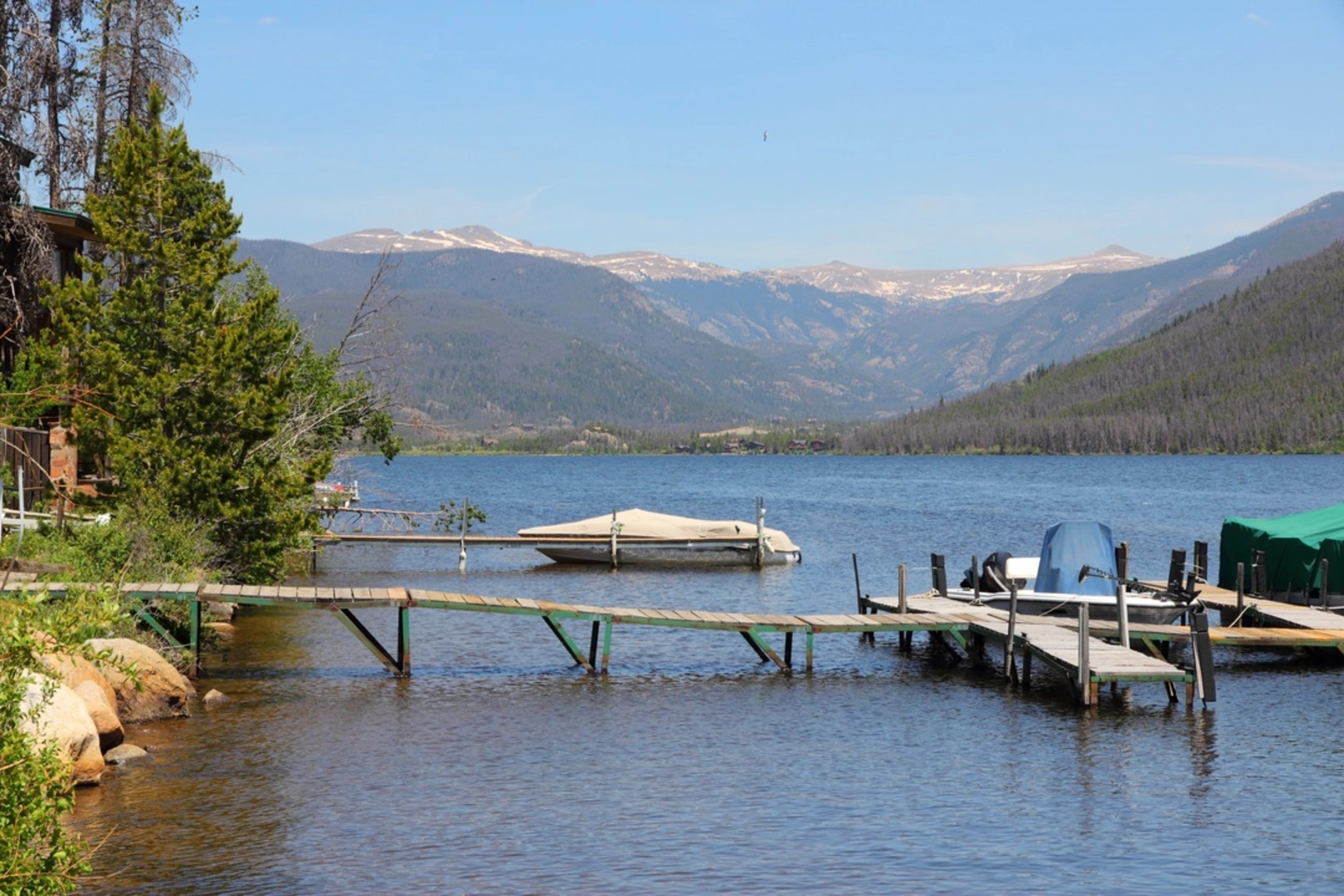
Nestled in the scenic landscape near Grand County, Colorado, the After Burn Trail offers a moderately challenging hike that spans approximately 2 kilometers (about 1.24 miles) with an elevation gain of around 100 meters (328 feet). This out-and-back trail is a favorite among those looking for a quick adventure with rewarding views.
Getting to the Trailhead
To reach the trailhead, hikers can drive to the vicinity of Grand County, where parking is available near the starting point. For those opting for public transportation, check local transit schedules for the nearest routes that service the area. Once you arrive, the trailhead is easily identifiable and serves as the gateway to your hike.
The Hike Itself
As you embark on the After Burn Trail, you'll be greeted by a mix of terrains, including rocky paths and dirt tracks that meander through the area's natural beauty. The trail is well-marked, but hikers should still consider using the HiiKER app for navigation to ensure they stay on the correct path.
The initial stretch of the trail is relatively gentle, allowing you to warm up before encountering the steeper sections. As you ascend, you'll notice the landscape changing, with opportunities to see local flora and fauna. Keep an eye out for the region's wildlife, including deer and various bird species, which are often sighted along the trail.
Landmarks and Surroundings
One of the highlights of the After Burn Trail is the panoramic views it offers of the surrounding mountains and valleys. At certain vantage points, you can pause to take in the breathtaking scenery. The trail also features remnants of the area's history, with occasional signs of past wildfires that have shaped the landscape, giving the trail its name.
Historical Significance
The region around Grand County is steeped in history, with the After Burn Trail providing a glimpse into the natural events that have influenced the area. The regrowth and recovery of vegetation after past wildfires are a testament to the resilience of nature and offer a unique perspective on the cycle of renewal in these forests.
Preparing for the Hike
Before setting out, hikers should be prepared with adequate water, sun protection, and sturdy footwear to handle the varied terrain. The trail's medium difficulty rating means that it's accessible to those with a moderate level of fitness, but it's still important to pace yourself, especially on the inclines.
Conclusion
The After Burn Trail is a rewarding experience for those looking to explore the natural beauty of Grand County, Colorado. With its manageable distance, interesting historical context, and stunning views, it's a hike that offers something for everyone. Remember to respect the environment and practice Leave No Trace principles to preserve the trail for future adventurers.

Comments and Reviews
User comments, reviews and discussions about the After Burn Trail, Colorado.
4.67
average rating out of 5
3 rating(s)