Download
Preview
Add to list
More
3.3 km
~52 min
129 m
Loop
“Embark on a scenic 3 km loop near Garfield County, Colorado, blending natural beauty and historical intrigue.”
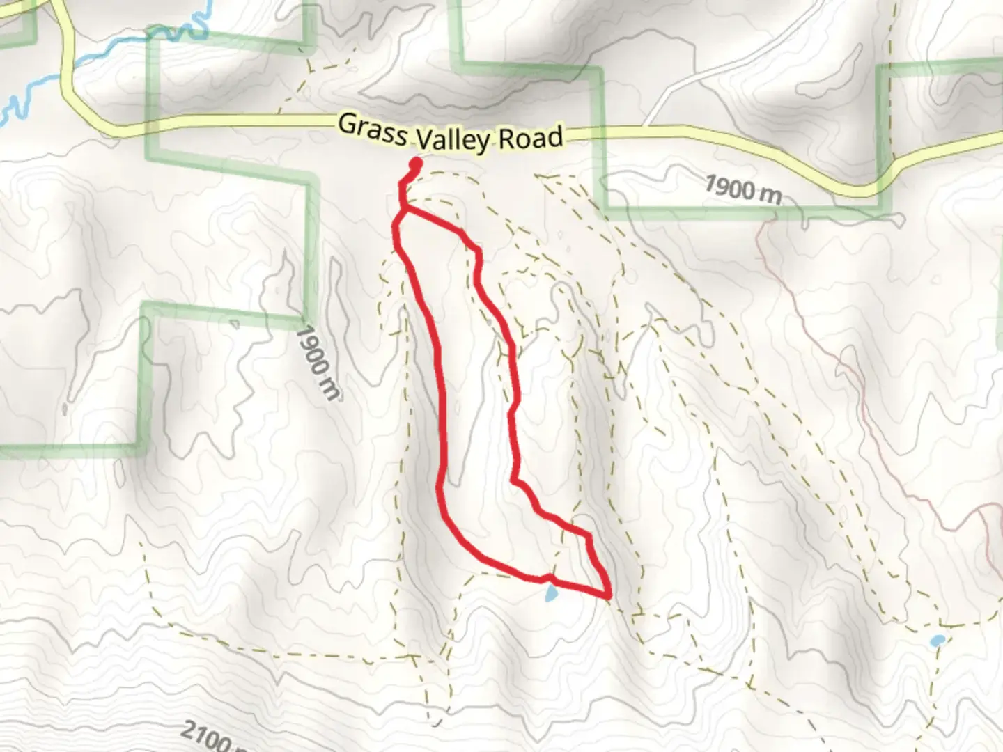
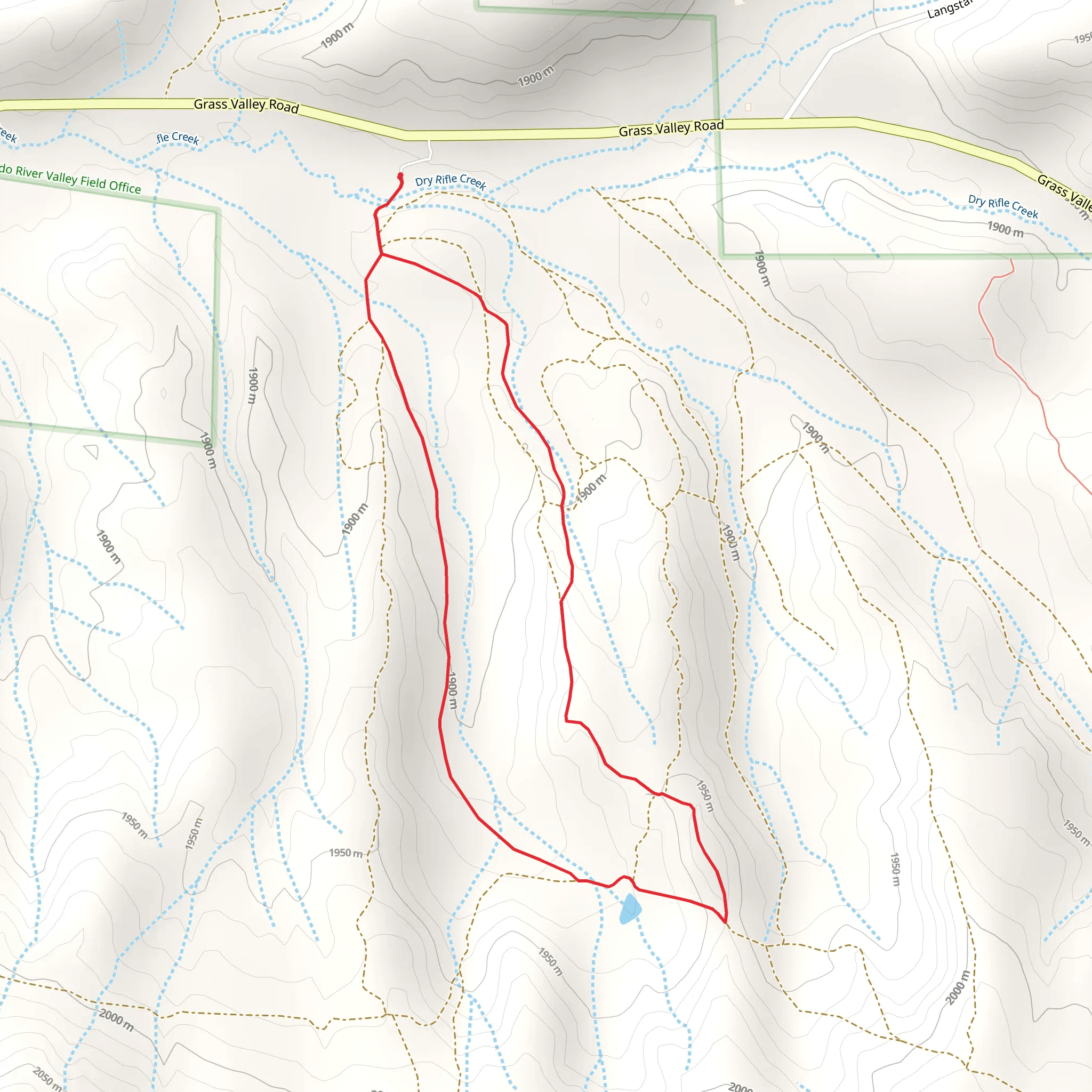
Starting your adventure near Garfield County, Colorado, the Loop above Dry Rifle Creek offers a moderately challenging hike with a distance of around 3 km (1.86 miles) and an elevation gain of approximately 100 meters (328 feet). This loop trail is perfect for those looking to immerse themselves in the natural beauty of the area while enjoying a manageable hike.### Getting There To reach the trailhead, you can drive or use public transport. If you're driving, head towards Rifle, Colorado, and follow signs to Garfield County. The nearest significant landmark is the Rifle Falls State Park, which is a great reference point. From there, it's a short drive to the trailhead. For those using public transport, buses run regularly to Rifle, and from there, you can take a taxi or rideshare service to the trailhead.### Trail Overview The trail begins with a gentle ascent, allowing you to warm up as you start your journey. As you progress, you'll encounter a mix of terrain, including dirt paths and rocky sections. The elevation gain is gradual, making it accessible for hikers with a moderate level of fitness.### Landmarks and Nature Around the 1 km (0.62 miles) mark, you'll come across a scenic overlook that provides stunning views of Dry Rifle Creek below. This is a great spot to take a break and enjoy the natural beauty of the area. Keep an eye out for local wildlife, including deer, rabbits, and a variety of bird species.### Historical Significance The region around Dry Rifle Creek has a rich history, with evidence of Native American habitation dating back thousands of years. As you hike, you'll notice several rock formations that were once used as shelters by indigenous peoples. Additionally, the area was a significant site during the westward expansion in the 19th century, with settlers using the creek as a water source.### Navigation and Safety To ensure you stay on track, it's recommended to use the HiiKER app, which provides detailed maps and real-time navigation. The trail is well-marked, but having a reliable navigation tool can enhance your hiking experience and provide peace of mind.### Flora and Fauna The trail is surrounded by a diverse range of plant life, including juniper, sagebrush, and various wildflowers that bloom in the spring and summer months. The creek itself is home to several species of fish, and you might even spot a beaver or two working on their dams.### Final Stretch As you near the end of the loop, the trail descends gently back towards the starting point. This section offers a different perspective of the landscape, with views of the surrounding hills and valleys. The entire loop can be completed in about 1.5 to 2 hours, depending on your pace and how often you stop to take in the sights.This hike is a wonderful way to experience the natural and historical richness of Garfield County, Colorado, making it a must-do for any outdoor enthusiast.
What to expect?
Activity types
Comments and Reviews
User comments, reviews and discussions about the Loop above Dry Rifle Creek, Colorado.
4.0
average rating out of 5
2 rating(s)
