Download
Preview
Add to list
More
24.1 km
~2 days
857 m
Multi-Day
“Embark on the Johnny Meyers Trail for a journey through history, wildlife, and stunning high-altitude vistas.”
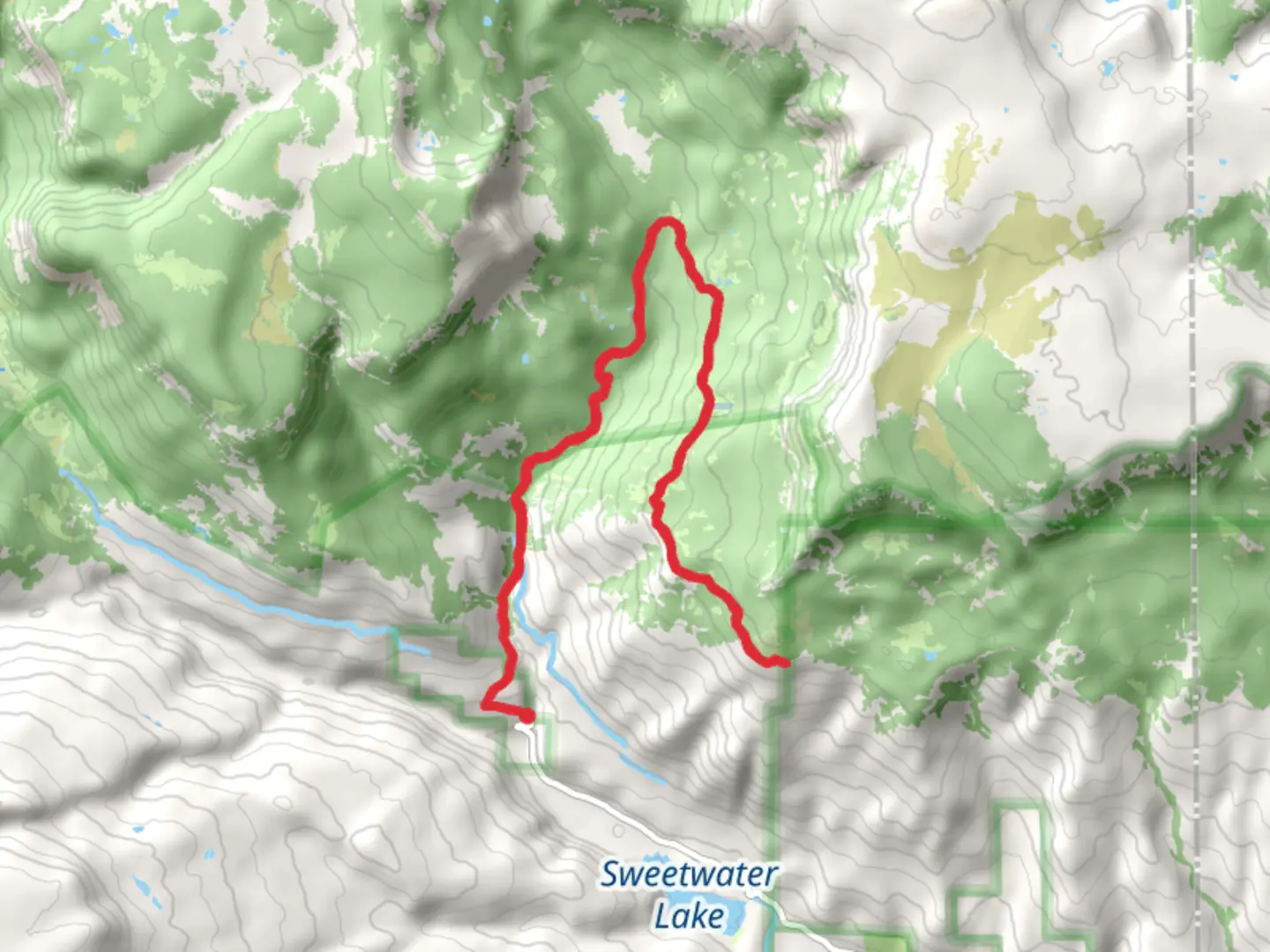
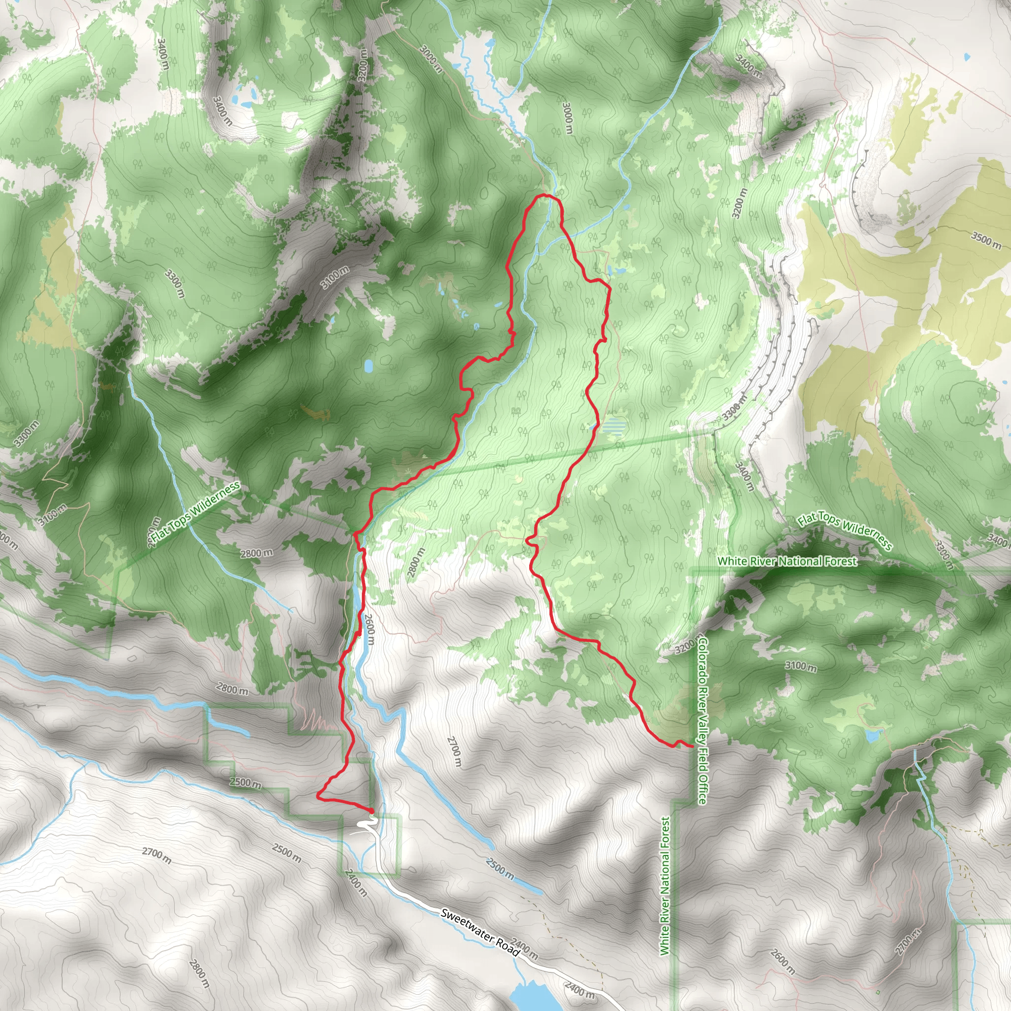
The Johnny Meyers Trail, nestled in the scenic landscape near Garfield County, Colorado, offers hikers a moderately challenging experience with its 24 km (approximately 15 miles) out-and-back route. With an elevation gain of roughly 800 meters (about 2625 feet), this trail provides a satisfying workout coupled with breathtaking views.
Getting to the Trailhead
To reach the starting point of the Johnny Meyers Trail, hikers can drive to the vicinity of Garfield County, where the trailhead is conveniently located. For those relying on public transportation, the nearest bus stops or transit lines should be checked for the closest drop-off points to the trailhead area. From there, a taxi or a local shuttle service might be necessary to reach the exact starting location.
Trail Experience
As you embark on the Johnny Meyers Trail, you'll traverse through diverse terrains, including lush meadows, dense forests, and rocky outcrops. The first few kilometers set the tone with a gentle incline, allowing hikers to warm up as they are enveloped by the sounds and sights of the forest.
Flora and Fauna
The trail is a haven for wildlife enthusiasts, with opportunities to spot local fauna such as mule deer, elk, and an array of bird species. The flora along the trail is equally impressive, featuring wildflowers that bloom in a riot of colors during the spring and summer months. As you gain elevation, the vegetation changes, and you may notice the subtle shifts in the types of plants and trees that thrive at higher altitudes.
Historical Significance
The region around the Johnny Meyers Trail is steeped in history, with the area having been inhabited by indigenous peoples long before European settlers arrived. As you hike, you may come across remnants of the past, such as old mining structures or artifacts that hint at the area's rich cultural heritage.
Navigation and Preparation
For navigation purposes, HiiKER is an excellent tool to help you stay on track and be aware of your progress along the trail. It's advisable to download the trail map on your device before setting out, as cell service can be spotty in remote areas.
Hikers should come prepared with adequate water, snacks, and layers of clothing to adapt to the changing weather conditions that can occur at higher elevations. It's also important to wear sturdy hiking boots to navigate the rocky and sometimes uneven terrain.
Landmarks and Scenic Views
Approximately halfway through the hike, you'll reach a lookout point that offers panoramic views of the surrounding mountains and valleys. This is an ideal spot to take a break and perhaps enjoy a picnic while soaking in the natural beauty.
As you approach the turnaround point of the trail, the path becomes more challenging with steeper sections. However, the effort is rewarded with an even more spectacular vista that awaits at the trail's highest elevation.
Remember to leave no trace and respect the natural environment, ensuring that the Johnny Meyers Trail remains pristine for future hikers to enjoy.
Comments and Reviews
User comments, reviews and discussions about the Johnny Meyers Trail, Colorado.
4.0
average rating out of 5
2 rating(s)
