Download
Preview
Add to list
More
7.8 km
~2 hrs 25 min
511 m
Loop
“The Far Out, Canyon Vista and Summit Loop Trail offers scenic views, historical sites, and diverse wildlife.”
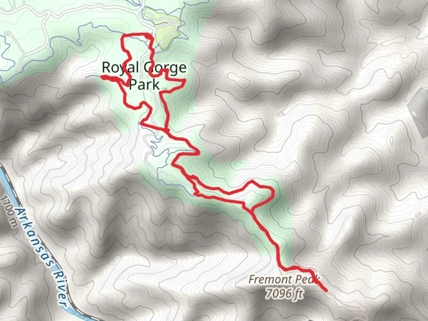
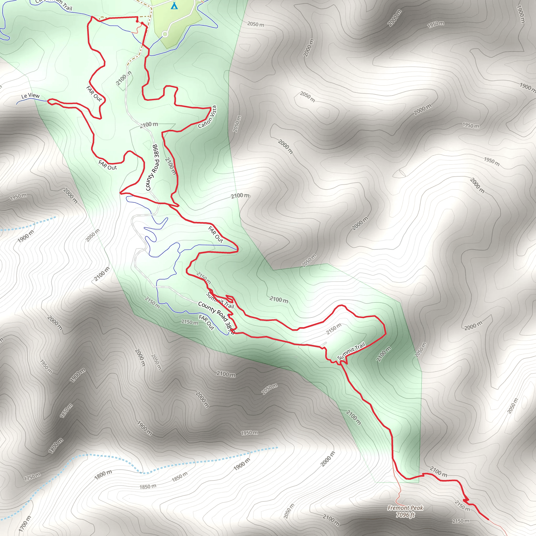
Starting near Fremont County, Colorado, the Far Out, Canyon Vista and Summit Loop Trail is an 8 km (approximately 5 miles) loop with an elevation gain of around 500 meters (1,640 feet). This medium-difficulty trail offers a diverse hiking experience, combining scenic vistas, historical landmarks, and rich wildlife.### Getting There To reach the trailhead, you can drive or use public transport. If driving, head towards Fremont County and look for parking near the entrance of the trail. For those using public transport, the nearest significant landmark is the Royal Gorge Bridge and Park. From there, you can take a local taxi or rideshare service to the trailhead.### Trail Overview The trail begins with a gentle ascent, allowing hikers to warm up before tackling the more challenging sections. Early on, you'll pass through a forested area rich with Ponderosa pines and Douglas firs. Keep an eye out for mule deer and various bird species, including the Steller's jay and mountain bluebird.### Canyon Vista At approximately 2 km (1.2 miles) into the hike, you'll reach the first significant viewpoint, Canyon Vista. This spot offers panoramic views of the surrounding canyons and valleys. It's an excellent place to take a break and capture some photos. The elevation gain to this point is around 150 meters (492 feet).### Historical Significance As you continue, you'll come across remnants of old mining operations. Fremont County has a rich mining history dating back to the late 1800s. These historical sites offer a glimpse into the region's past and are marked with informational plaques.### Summit Loop Around the 4 km (2.5 miles) mark, the trail begins its ascent towards the summit. This section is the most challenging, with an elevation gain of approximately 250 meters (820 feet) over a short distance. The trail here is rocky and steep, so good hiking boots and trekking poles are recommended.### Wildlife and Flora The summit area is home to a variety of alpine flora, including wildflowers like Indian paintbrush and columbine. You might also spot wildlife such as bighorn sheep and golden eagles. The summit offers a 360-degree view of the surrounding landscape, making the strenuous climb well worth the effort.### Descent and Return The descent begins after the summit, looping back towards the trailhead. This section is less steep but still requires careful navigation due to loose rocks and uneven terrain. The final 2 km (1.2 miles) are relatively flat, allowing for a relaxed end to your hike.### Navigation Tools For navigation, it's highly recommended to use the HiiKER app, which provides detailed maps and real-time updates. This will help you stay on track and ensure a safe and enjoyable hike.### Final Stretch As you approach the end of the loop, you'll pass through another forested area, offering a serene and shaded environment. The trail concludes back at the trailhead, where you can rest and reflect on the diverse landscapes and historical sites you've encountered.This trail offers a well-rounded hiking experience, combining natural beauty, historical significance, and a moderate physical challenge.
What to expect?
Activity types
Comments and Reviews
User comments, reviews and discussions about the Far Out, Canyon Vista and Summit Loop Trail, Colorado.
4.5
average rating out of 5
12 rating(s)
