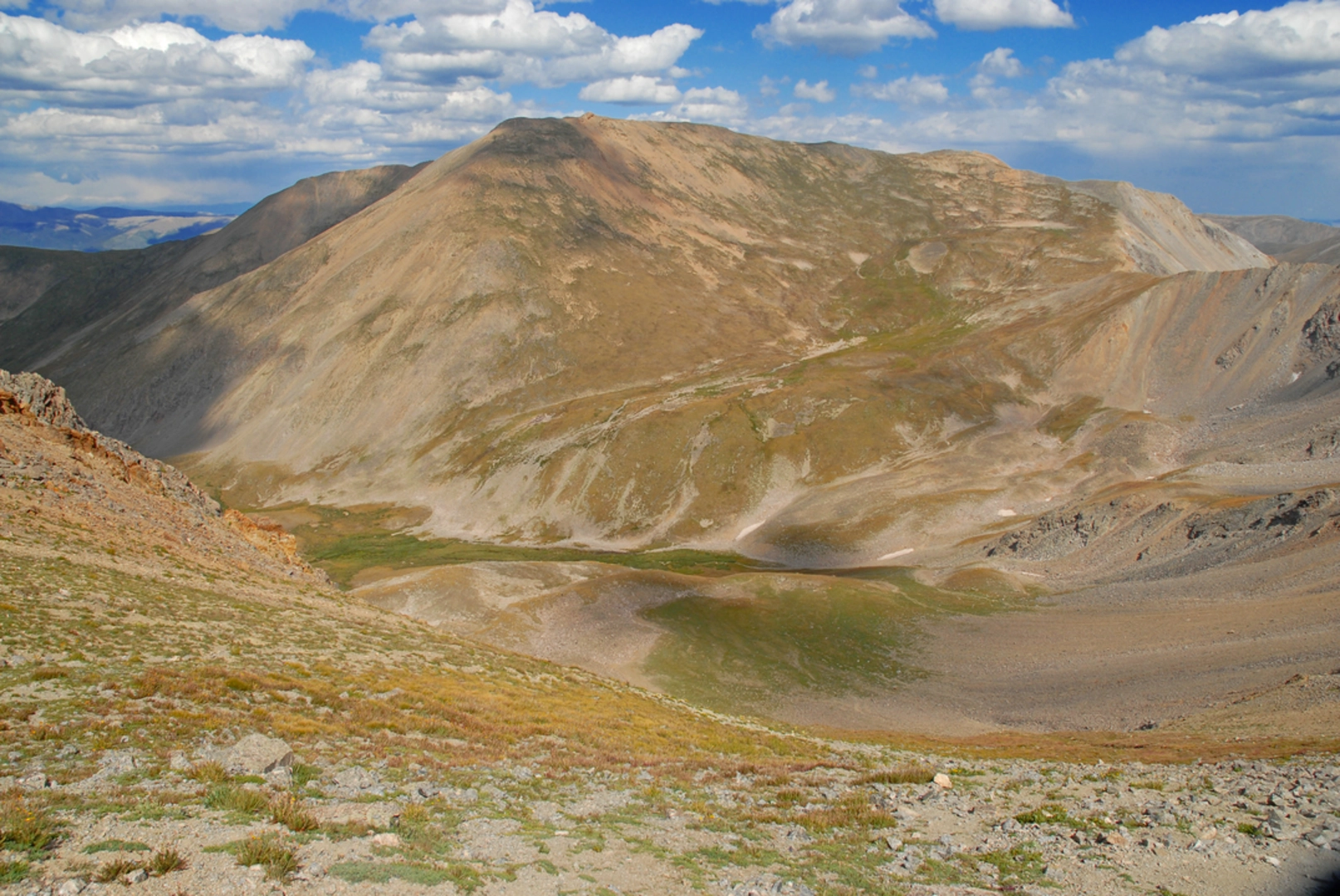
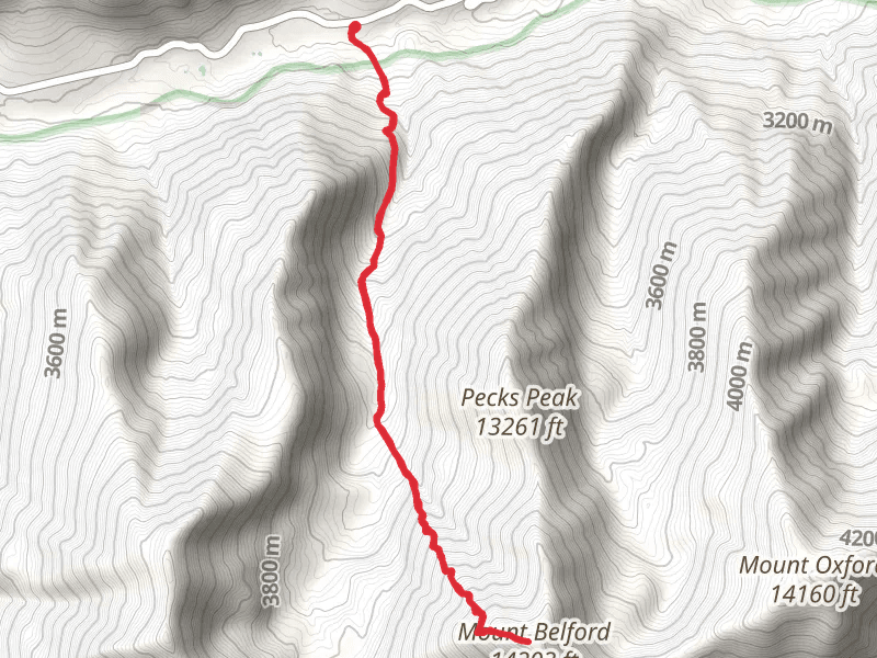
Mount Belford is a 14,197 foot (4,319 meter) mountain peak located in the Sawatch Range of Colorado, United States. The most popular route to the summit of Mount Belford is via the Missouri Gulch Trail. The trailhead is located near the town of Leadville, Colorado, and is accessible by car. The Missouri Gulch Trail is a 7.5 miles round-trip hike with an elevation gain of 4,500 feet (1371 m). It's considered a challenging hike and should only be attempted by experienced hikers with proper equipment and preparation.The trail begins at the Missouri Gulch Trailhead and immediately starts gaining elevation, winding through a dense forest of aspen and pine trees. The trail follows Missouri Gulch, which is a small stream, and hikers will cross the stream several times as they make their way up the trail.As the trail continues to gain elevation, it becomes more rocky and steep, with some scrambling required near the top. The trail offers beautiful views of the surrounding mountains and valleys, including the Sawatch Range.Near the summit, the trail splits and hikers can choose to take the standard route, or the more challenging class 2 route. The standard route is a bit longer but less steep, while the class 2 route is shorter but steeper. Both routes lead to the summit of Mount Belford, which offers panoramic views of the surrounding mountains, including Mount Oxford and Mount Harvard.It's recommended to start early in the morning to avoid afternoon thunderstorms and to give yourself enough time to reach the summit and return safely. It's also important to bring plenty of water, snacks, and warm clothing, as the weather can change quickly at high altitude. Be aware of the potential for thunderstorms and lightning, as well as the risk of exposure.For information on how we grade trails, please click here.This trail can be completed in approx 1 day. Caution is advised on trail times as this depends on multiple variables. For more info, click here.