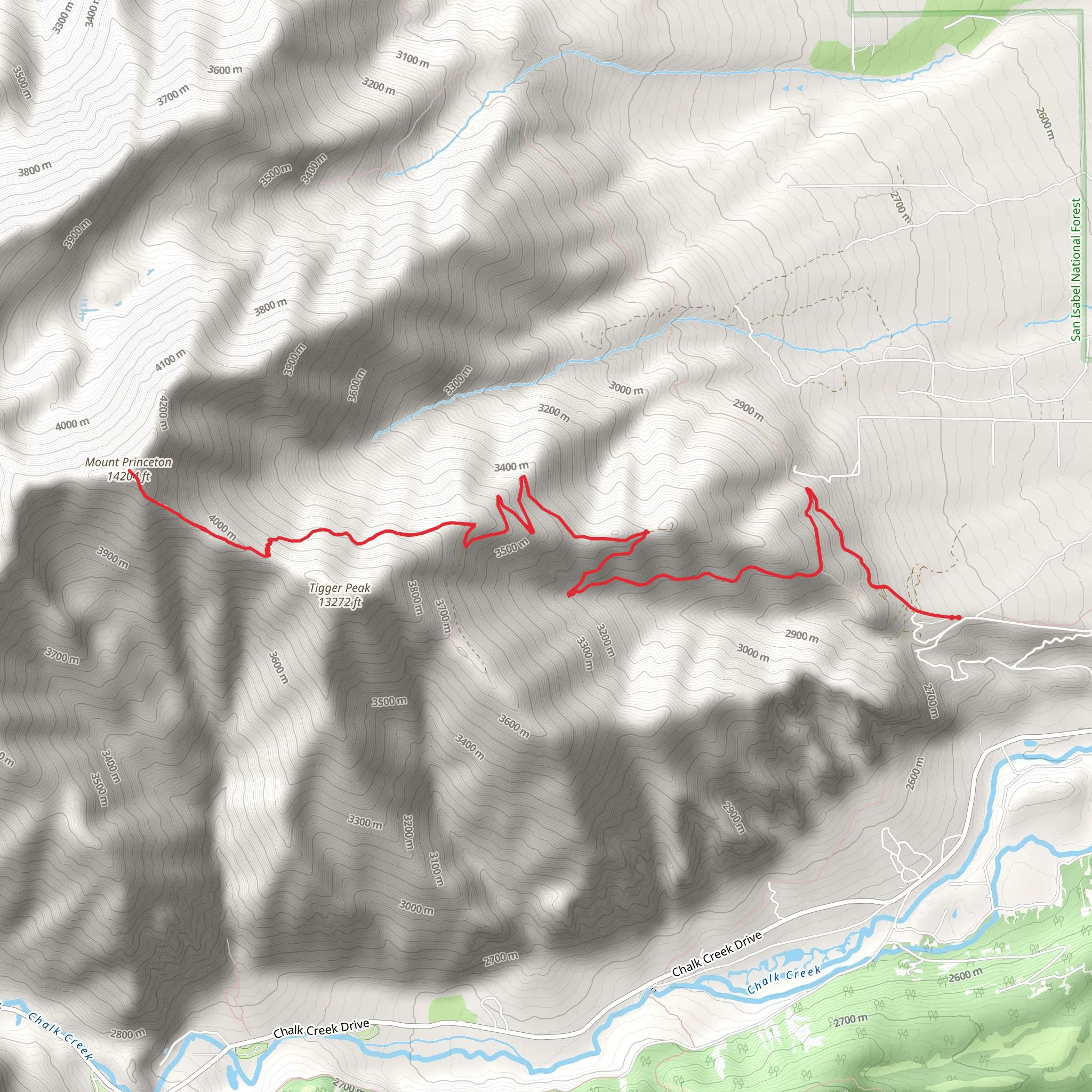
The Mount Princeton trailhead is located near the town of Buena Vista, Colorado, on the north side of the mountain. The trailhead is accessible by car and has a parking lot for hikers to leave their vehicles. The trail to the summit of Mount Princeton from this trailhead is 13.08 miles round-trip with an elevation gain of 5,400 feet. It's considered a challenging hike and should only be attempted by experienced hikers with proper equipment and preparation. The trail is steep and rocky in some sections, and hikers should be prepared for high altitude and changing weather conditions.The trail begins with a gradual climb through a dense forest, with a few small stream crossings. The trail then enters into a more rocky and exposed area, with a few switchbacks as it gains elevation. As you continue to climb, the trees begin to thin out and the views of the surrounding mountains become more expansive.As you near the summit, the trail becomes steeper and more rocky, with some scrambling required near the top. The final push to the summit is a steep climb up a rocky ridge, but the views from the top are worth the effort. The summit of Mount Princeton offers panoramic views of the surrounding mountains, including the Collegiate Peaks, which are named for the prestigious colleges and universities of the East.It's recommended to start early in the morning to avoid afternoon thunderstorms and to give yourself enough time to reach the summit and return safely. It's also important to bring plenty of water, snacks, and warm clothing, as the weather can change quickly at high altitude.For information on how we grade trails, please click hereThis trail can be completed in approx 2 days. Caution is advised on trail times as this depends on multiple variables. For more info, click here.