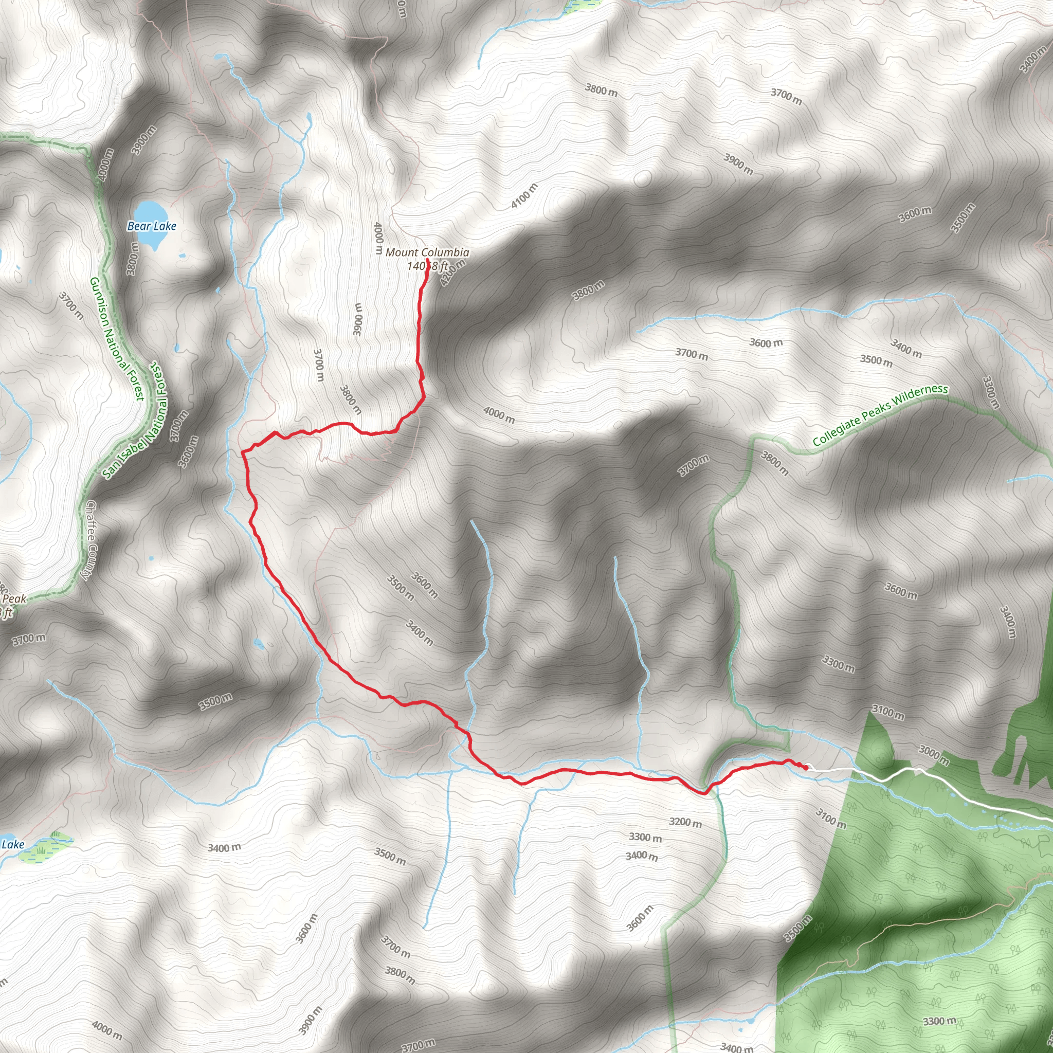
The Mount Columbia via Horn Fork Basin Trail is a hiking trail located in the Sawatch Range of the Rocky Mountains in Colorado, USA. The trail leads to the summit of Mount Columbia, which stands at an elevation of 14,073 feet. The trailhead is located at the North Cottonwood Creek Trailhead, which is accessible by car.The trail is approximately 10.4 miles round trip, with an elevation gain of about 4,150 feet. The trail is considered to be strenuous, with steep sections and rocky terrain, and hikers should be in good physical condition and properly equipped for high-altitude hiking.The Horn Fork Basin trail starts in the Horn Fork Basin and climbs through the trees and meadows, and then opens to the alpine tundra with great views of the surrounding peaks. The Mount Columbia summit provides panoramic views of the Sawatch Range and the surrounding area, including the nearby 14ers, Mount Harvard, and Mount Yale.It is important to note that the trail is not well-marked in some sections, and hikers should come prepared with a map and compass, and be familiar with navigation techniques. The trail is open from late spring to early fall, and hikers should check weather and trail conditions before setting out, as the trail can be dangerous in adverse weather conditions, especially in thunderstorm season. Additionally, this route is recommended for experienced hikers and climbers, and should not be taken lightly due to the isolation and difficulty of the terrain.For information on how we grade trails, please click here.This trail can be completed in approx 2 days. Caution is advised on trail times as this depends on multiple variables. For more info, click here.