Download
Preview
Add to list
More
17.6 km
~3 hrs 56 min
251 m
Loop
“Explore ancient petroglyphs and stunning canyons on the moderate 18 km Picture Canyon Commanche Loop.”
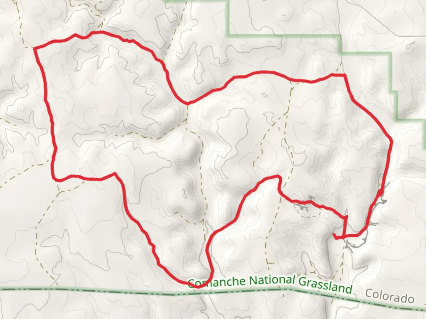
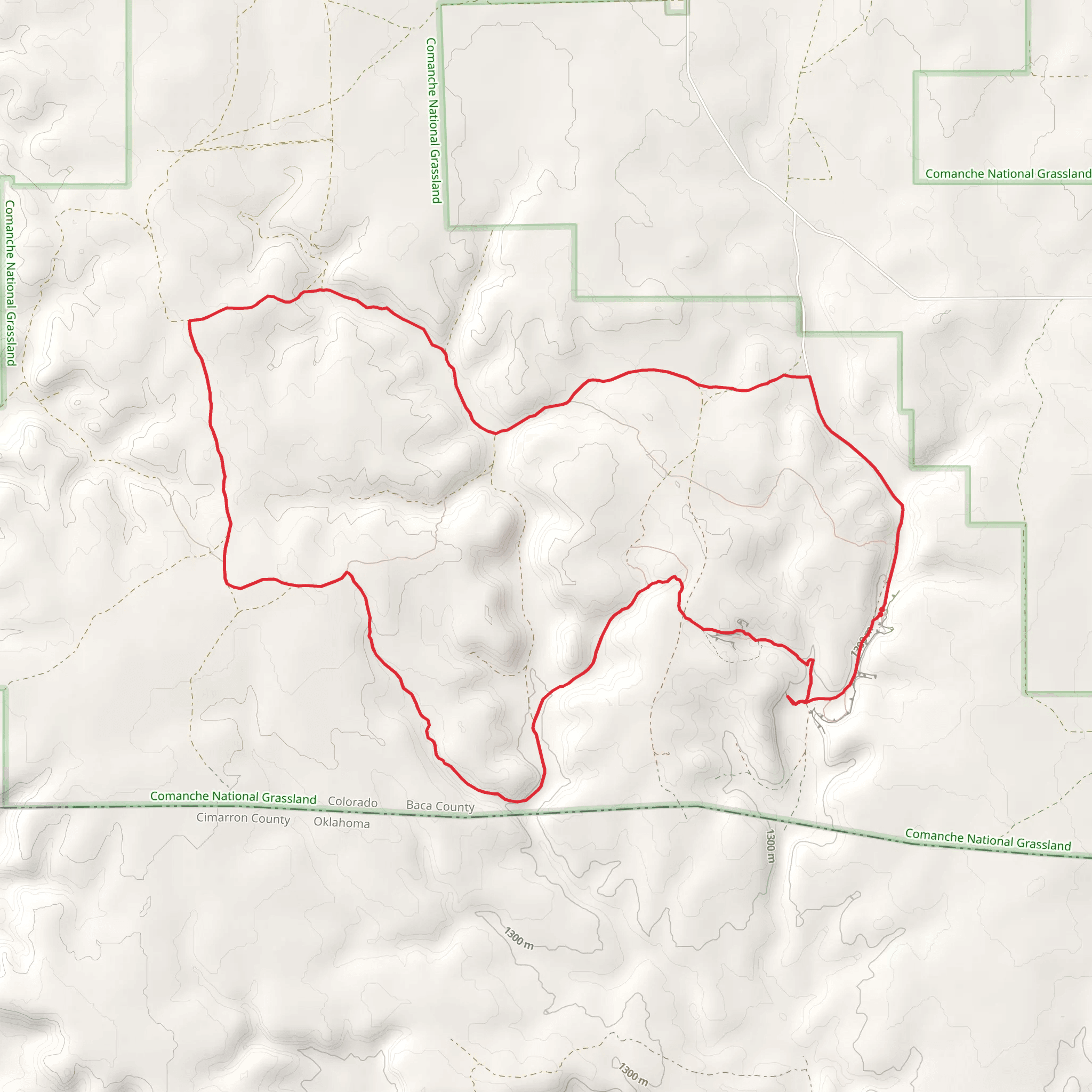
Starting your adventure near Baca County, Colorado, the Picture Canyon Commanche Loop is an 18 km (approximately 11 miles) loop trail with an elevation gain of around 200 meters (656 feet). This trail offers a moderate challenge, making it suitable for hikers with some experience.
Getting There To reach the trailhead, you can drive to the nearest significant landmark, which is the town of Springfield, Colorado. From Springfield, head south on US-287 S/US-385 S for about 20 miles (32 km) until you reach County Road M. Turn east onto County Road M and continue for approximately 10 miles (16 km) until you reach the trailhead. Public transport options are limited in this remote area, so driving is the most practical way to get there.
Trail Navigation For navigation, it is highly recommended to use the HiiKER app, which provides detailed maps and real-time updates. The trail is well-marked, but having a reliable navigation tool will enhance your hiking experience.
Trail Highlights As you embark on the Picture Canyon Commanche Loop, you'll encounter a variety of landscapes and significant landmarks. The trail meanders through picturesque canyons, offering stunning views of rock formations and cliffs. One of the most notable features is the Picture Canyon itself, known for its ancient petroglyphs and pictographs. These rock carvings and paintings are believed to be created by Native American tribes, adding a historical dimension to your hike.
Flora and Fauna The trail is rich in biodiversity. You will traverse through areas populated with juniper and pinyon pine trees. Keep an eye out for wildlife such as mule deer, coyotes, and a variety of bird species, including hawks and eagles. The spring and early summer months are particularly vibrant, with wildflowers in full bloom.
Points of Interest - **Petroglyphs and Pictographs**: Located about 4 km (2.5 miles) into the hike, these ancient artworks are a must-see. They offer a glimpse into the lives of the Native American tribes who once inhabited the area. - **Natural Arch**: Approximately 7 km (4.3 miles) from the trailhead, you'll find a natural arch formation. This is a great spot for photography and a short rest. - **Comanche National Grassland**: The trail passes through sections of the Comanche National Grassland, providing expansive views of the prairie landscape.
Elevation and Terrain The trail's elevation gain is gradual, making it accessible for most hikers. The highest point of the trail is around 200 meters (656 feet) above the starting elevation, offering panoramic views of the surrounding canyons and grasslands. The terrain varies from rocky paths to sandy trails, so sturdy hiking boots are recommended.
Preparation Tips - **Water**: Ensure you carry enough water, as there are no reliable water sources along the trail. - **Weather**: Check the weather forecast before you go. The area can experience extreme temperatures, especially in the summer. - **Wildlife**: Be aware of your surroundings and respect the wildlife. Keep a safe distance from any animals you encounter.
By following these guidelines and using the HiiKER app for navigation, you'll be well-prepared to enjoy the natural beauty and historical significance of the Picture Canyon Commanche Loop.
What to expect?
Activity types
Comments and Reviews
User comments, reviews and discussions about the Picture Canyon Commanche Loop, Colorado.
4.5
average rating out of 5
8 rating(s)
