Download
Preview
Add to list
More
6.1 km
~1 hrs 49 min
362 m
Loop
“Experience diverse landscapes and panoramic views on the moderately challenging Panorama and Roller Coaster Loop Trail.”
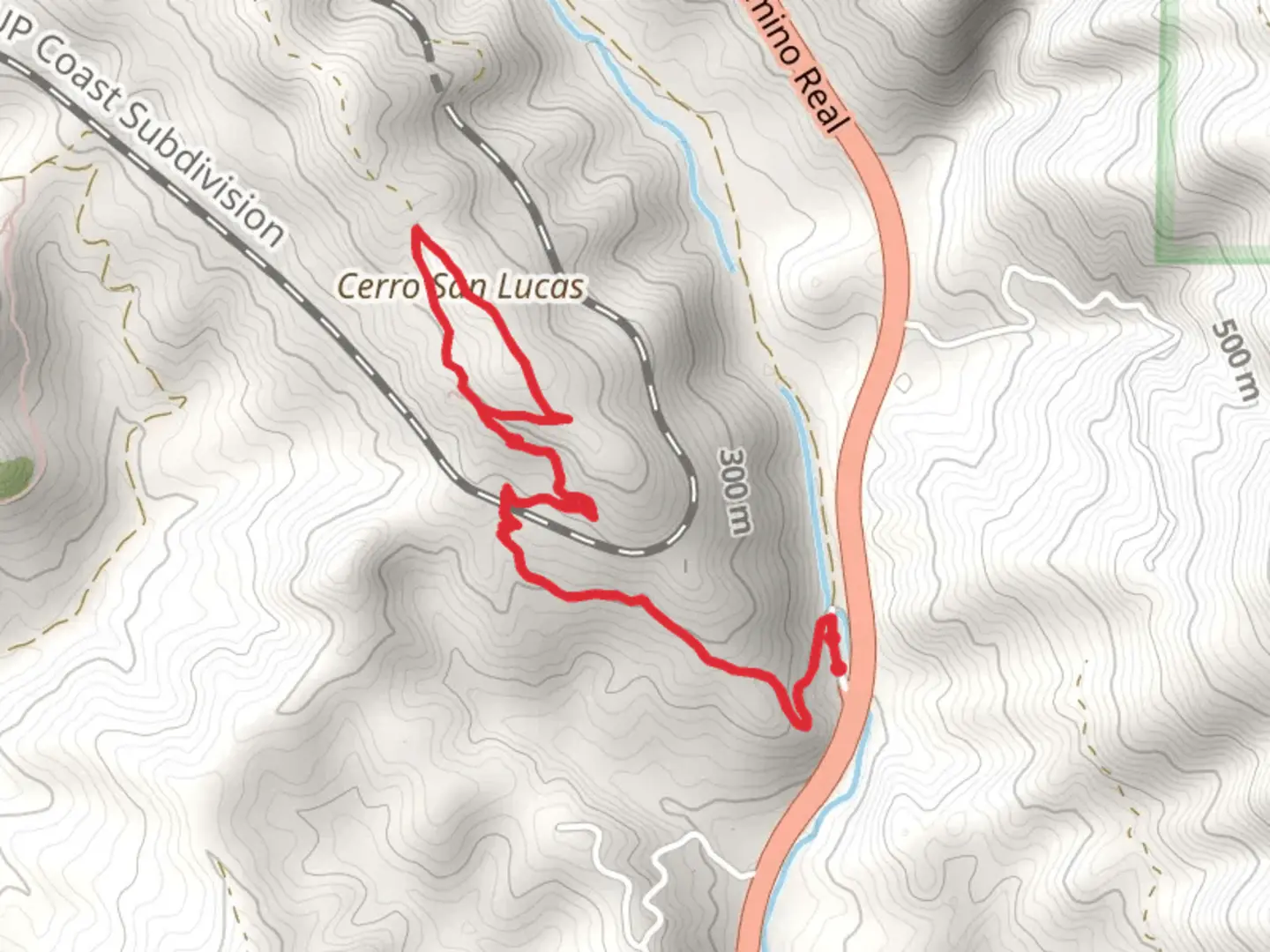
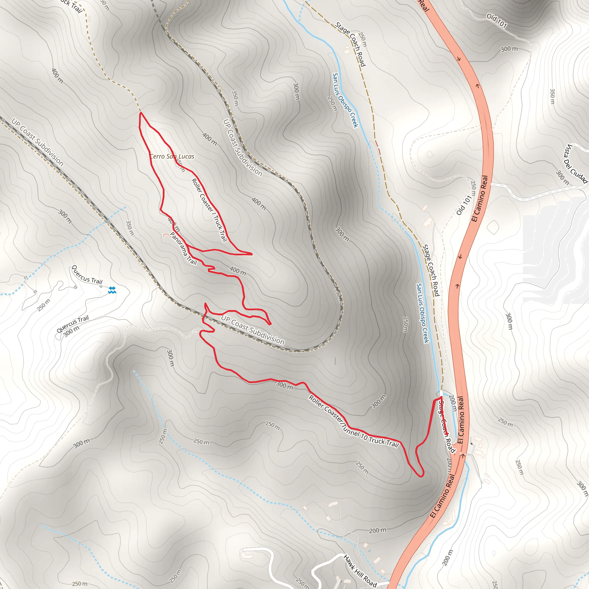
Starting near San Luis Obispo County, California, the Panorama and Roller Coaster Loop Trail offers a moderately challenging hike with a distance of around 6 km (approximately 3.7 miles) and an elevation gain of about 300 meters (roughly 984 feet). This loop trail is perfect for those looking to experience a variety of landscapes and enjoy panoramic views.
Getting There To reach the trailhead, you can drive or use public transportation. If driving, head towards the intersection of Foothill Boulevard and O'Connor Way, which is the nearest significant landmark. There is parking available near the trailhead. For those using public transport, you can take a bus to the Foothill Boulevard area and walk a short distance to the trailhead.
Trail Overview The trail begins with a gentle ascent, allowing you to warm up before the more strenuous sections. As you start, you'll notice the lush greenery and a variety of native plants. Keep an eye out for California poppies and lupines, especially in the spring when they are in full bloom.
Significant Landmarks and Sections - **Panorama Point (1.5 km / 0.9 miles in)**: After about 1.5 km (0.9 miles), you'll reach Panorama Point. This is a great spot to take a break and enjoy sweeping views of the surrounding valleys and hills. On clear days, you can see all the way to the Pacific Ocean. - **Roller Coaster Section (3 km / 1.9 miles in)**: As you continue, you'll enter the Roller Coaster section of the trail, named for its series of steep ascents and descents. This part of the trail is more challenging, with quick elevation changes that will test your endurance. The total elevation gain in this section is around 150 meters (492 feet). - **Wildlife Viewing**: Throughout the trail, keep an eye out for local wildlife. Deer, rabbits, and a variety of bird species are commonly seen. If you're lucky, you might even spot a bobcat or a red-tailed hawk soaring above.
Historical Significance The area around San Luis Obispo County has a rich history. The Chumash people originally inhabited this region, and you might come across some historical markers or interpretive signs along the trail that provide insights into their way of life. Additionally, the trail offers views of the Nine Sisters, a series of volcanic peaks that are geologically significant and have been landmarks for centuries.
Navigation and Safety For navigation, it's highly recommended to use the HiiKER app, which provides detailed maps and real-time updates. The trail is well-marked, but having a reliable navigation tool can help you stay on track, especially in the Roller Coaster section where the path can be confusing.
Final Stretch As you near the end of the loop, the trail descends gradually, giving your legs a bit of a break. The final stretch offers more shaded areas, perfect for cooling down before you reach the trailhead.
This trail is a fantastic way to experience the natural beauty and historical richness of San Luis Obispo County. Make sure to bring plenty of water, wear sturdy hiking boots, and be prepared for a moderately challenging but incredibly rewarding hike.
What to expect?
Activity types
Comments and Reviews
User comments, reviews and discussions about the Panorama and Roller Coaster Loop Trail, California.
4.0
average rating out of 5
3 rating(s)
