Download
Preview
Add to list
More
3.3 km
~59 min
191 m
Loop
“Explore the historic and picturesque Sierra Nevada foothills on the Robie Point Trail Loop, a rewarding blend of nature and history.”
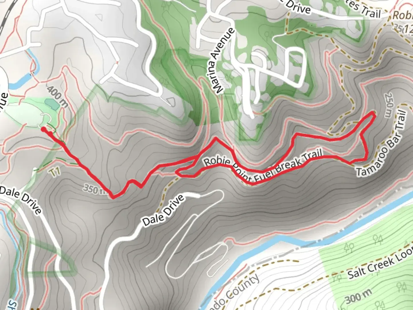
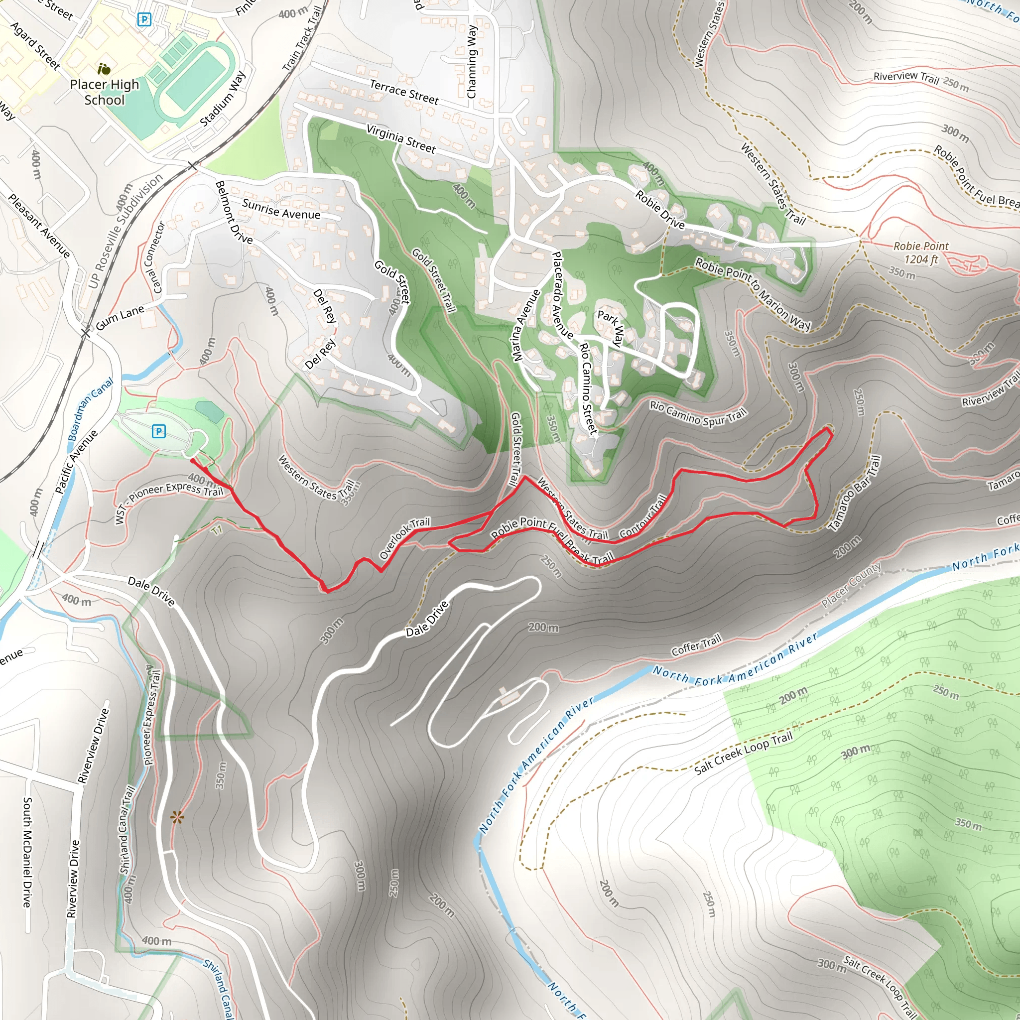
Nestled near the historic town of Auburn in Placer County, California, the Robie Point Fuel Break Trail and Contour Trail Loop offers hikers a scenic 3-kilometer (approximately 1.9 miles) journey with an elevation gain of about 100 meters (328 feet). This medium-difficulty loop trail is a favorite among locals and visitors looking to experience the natural beauty and historical significance of the Sierra Nevada foothills.
Getting to the Trailhead
To reach the trailhead, if you're driving, head towards Auburn and navigate to the Auburn State Recreation Area. The closest address for the trailhead is near the end of Robie Drive, where you will find parking options. For those opting for public transportation, check the local transit schedules for buses that service the area, and prepare for a short walk from the nearest bus stop to the trailhead.
Trail Experience
As you embark on the trail, you'll be greeted by a mix of oak woodlands and chaparral, with the path meandering through rolling hills that offer stunning views of the American River Canyon. The trail is well-marked, but carrying a navigation tool like HiiKER can help ensure you stay on the right path.
Historical Significance
The area around Robie Point is steeped in history, with Auburn being a key location during the California Gold Rush. As you hike, imagine the bustling activity that once took place as miners sought their fortunes. The trail itself is part of the Auburn State Recreation Area, which preserves the natural and cultural resources of the canyon.
Flora and Fauna
Keep an eye out for the diverse wildlife that inhabits the region, including deer, coyotes, and a variety of bird species. The trail is also home to a rich array of plant life, with wildflowers blooming in the spring and the changing colors of the leaves offering a spectacular display in the fall.
Navigating the Loop
The loop can be tackled in either direction, but many prefer to start on the Robie Point Fuel Break Trail and return via the Contour Trail to complete the circuit. The initial ascent on the Fuel Break Trail is where you'll encounter most of the elevation gain, making for a moderate workout.
Points of Interest
Approximately halfway through the hike, you'll reach Robie Point itself, which provides panoramic views of the surrounding landscape. It's an excellent spot to take a break and enjoy the scenery before continuing on the Contour Trail, which offers a more gradual descent back to the trailhead.
Preparation Tips
Before setting out, ensure you have adequate water, sun protection, and sturdy footwear. The trail can be rocky in places, and the terrain requires some agility. It's also advisable to check the weather forecast and trail conditions, as the area can be hot in the summer and may experience mudslides or loose gravel after rain.
Conclusion
By following this guide, hikers can fully prepare for the Robie Point Fuel Break Trail and Contour Trail Loop, ensuring a safe and enjoyable experience while soaking in the natural beauty and historical backdrop of the Auburn State Recreation Area.
What to expect?
Activity types
Comments and Reviews
User comments, reviews and discussions about the Robie Point Fuel Break Trail and Contour Trail Loop, California.
4.67
average rating out of 5
3 rating(s)
