Download
Preview
Add to list
More
7.2 km
~2 hrs 11 min
459 m
Loop
“Embark on a serene hike through Monterey's verdant woodlands and historical ridges, brimming with wildlife and breathtaking vistas.”
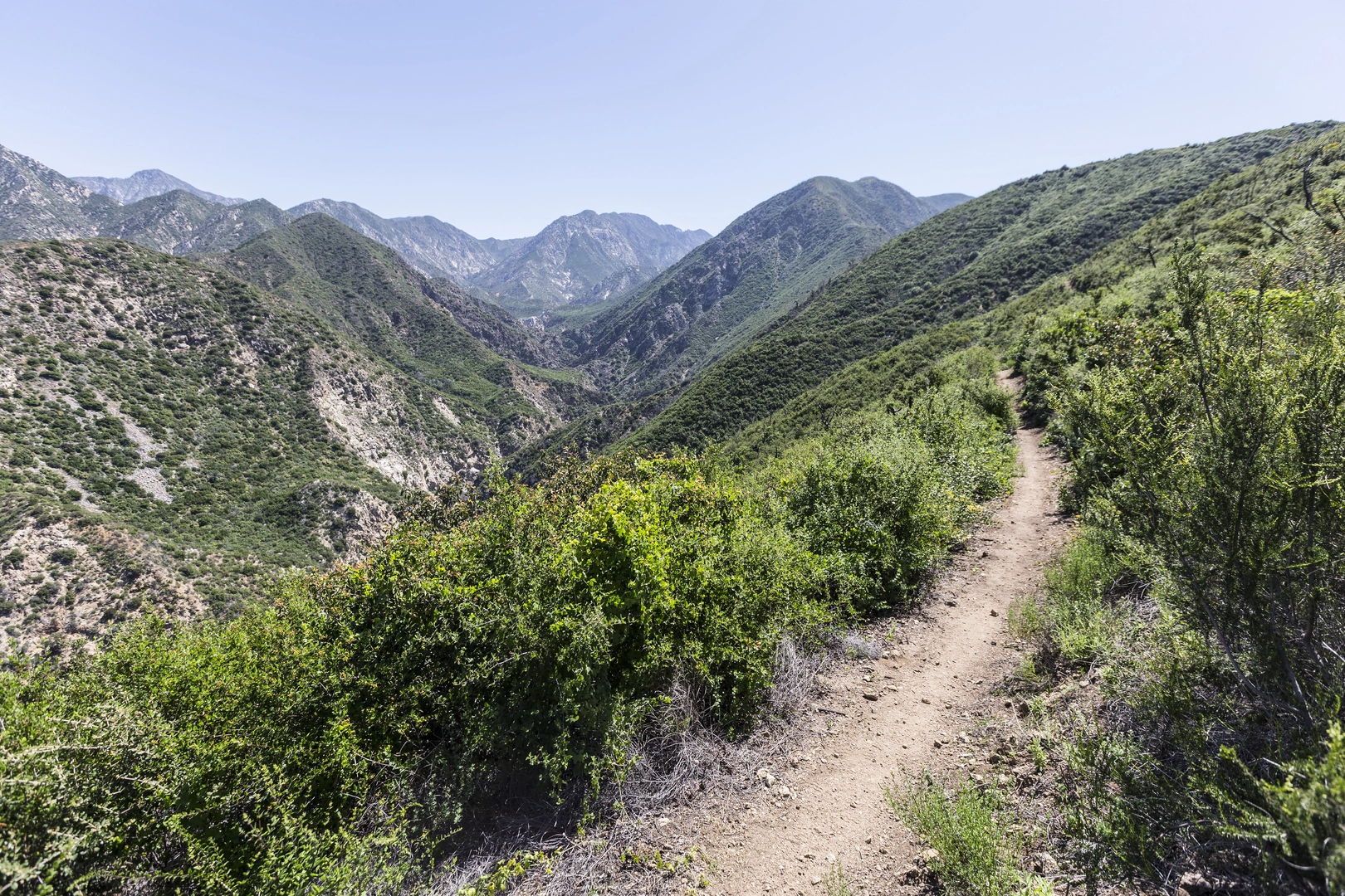
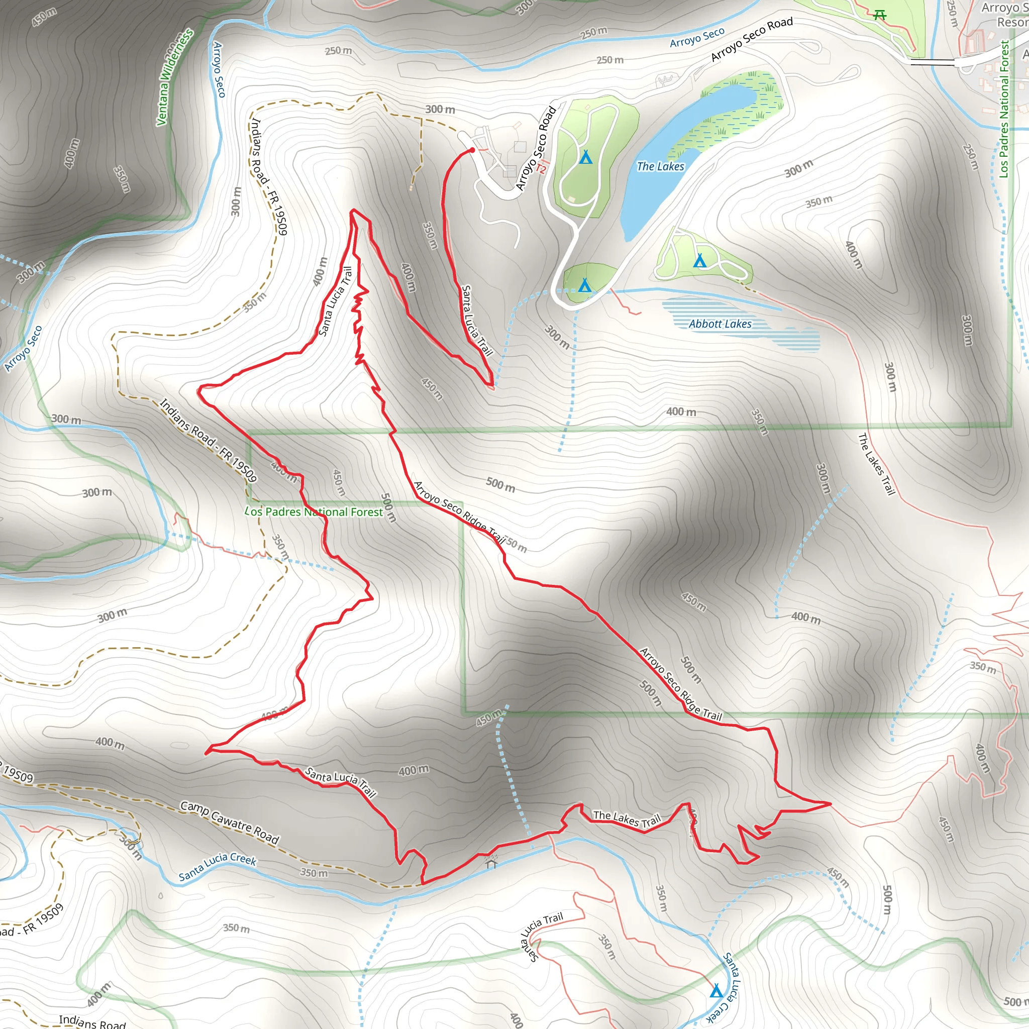
Nestled in the scenic backdrop of Monterey County, California, the Santa Lucia Trail and Arroyo Seco Ridge Trail Loop offers an invigorating hiking experience through diverse landscapes. Spanning approximately 7 kilometers (about 4.3 miles) with an elevation gain of around 400 meters (roughly 1,300 feet), this loop trail is a medium-difficulty adventure suitable for hikers with some experience.Getting to the Trailhead To reach the trailhead, hikers can drive to the Arroyo Seco Recreation Area, which is the nearest significant landmark. From the city of Monterey, take Highway 68 east to River Road, then head south until you reach Arroyo Seco Road. Follow this road to the recreation area where parking is available. Public transport options are limited in this region, so driving is the most feasible option for accessing the trail.The Hike Experience The journey begins amidst the lush greenery of the Los Padres National Forest, where the trailhead is located. As you set off, the path meanders through oak woodlands, offering glimpses of the Santa Lucia Mountains. The trail is well-marked, but hikers should consider using the HiiKER app for navigation to ensure they stay on the correct path.Flora and Fauna As you ascend, keep an eye out for the diverse plant life, including chaparral shrubland and wildflowers that bloom vibrantly in the spring. The area is also home to wildlife such as black-tailed deer, foxes, and occasionally, mountain lions. Birdwatchers may spot various species, including the California condor, soaring above.Historical Significance The region holds historical significance as it was once inhabited by the Esselen and Salinan Native American tribes. Evidence of their presence can be seen in the form of grinding rocks and other artifacts scattered throughout the forest.Landmarks and Scenery Approximately halfway through the hike, you'll reach the Arroyo Seco Ridge, which provides panoramic views of the surrounding valleys and peaks. The ridge is an excellent spot for a rest and a photo opportunity. As you continue, the trail descends back into the forest, looping around to bring you back to the starting point.Preparation and Safety Before embarking on the hike, ensure you have adequate water, as the climate can be quite dry, especially in the summer months. Sturdy hiking boots are recommended due to the uneven terrain and occasional loose rocks. It's also wise to carry a map or have the HiiKER app handy for navigation, as cell service can be spotty.Seasonal Considerations The best time to hike this trail is from late spring to early fall when the weather is milder, and the risk of heavy rains and flash floods is lower. Always check the weather forecast and trail conditions before heading out.Remember to leave no trace, respect the natural environment, and enjoy the serene beauty that the Santa Lucia Trail and Arroyo Seco Ridge Trail Loop have to offer.
What to expect?
Activity types
Comments and Reviews
User comments, reviews and discussions about the Santa Lucia Trail and Arroyo Seco Ridge Trail Loop, California.
4.63
average rating out of 5
8 rating(s)

