Download
Preview
Add to list
More
1.5 km
~20 min
26 m
Out and Back
“Discover the tranquil Belinda Point Trail, a historical coastal gem with breathtaking views and vibrant wildlife.”
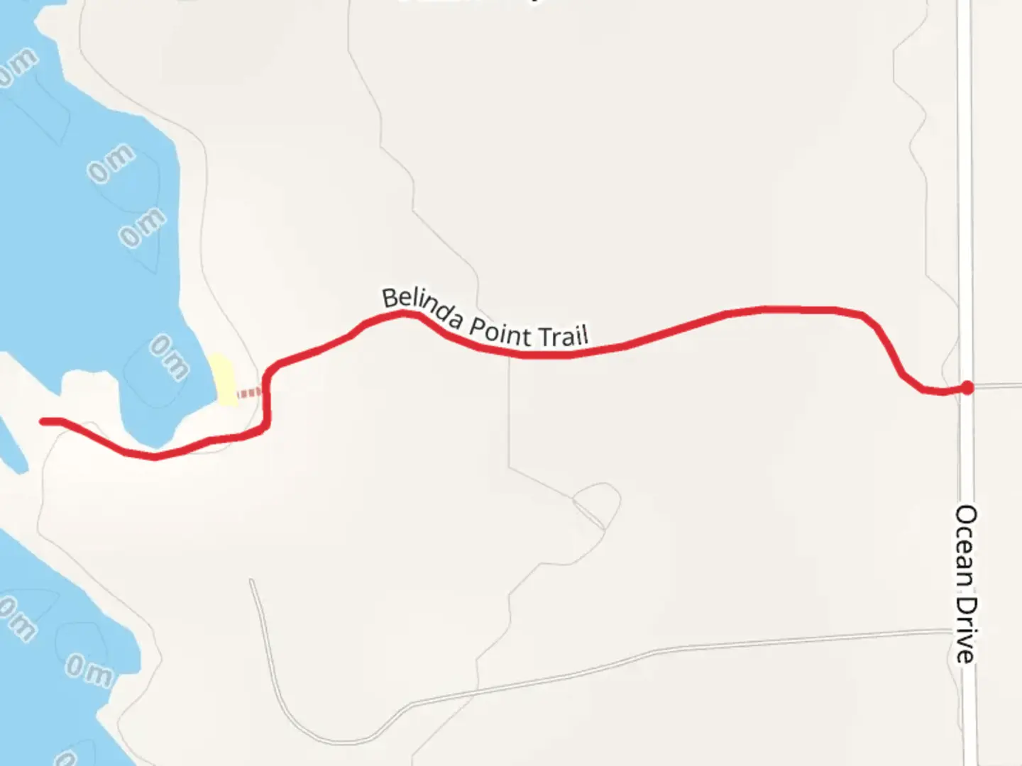
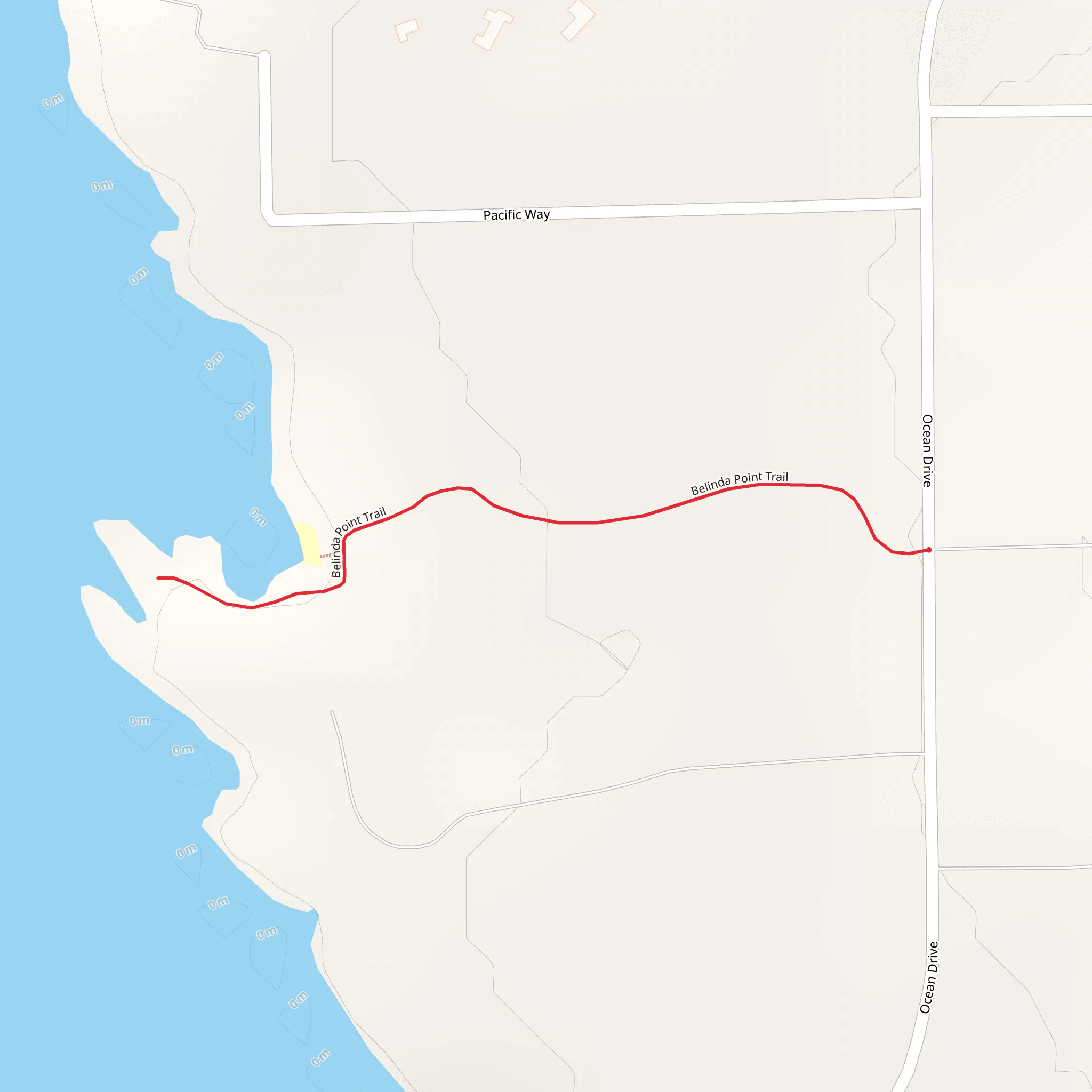
Nestled near the picturesque Mendocino County in California, the Belinda Point Trail offers hikers a serene 2 km (approximately 1.24 miles) out-and-back journey with virtually no elevation gain, making it an accessible option for those looking for a leisurely walk with stunning coastal views. Despite its ease, the trail is rated medium difficulty due to the rugged terrain and potentially slippery conditions.
Getting to the Trailhead
To reach the trailhead, visitors can drive along Highway 1 and look for the turnout near mile marker 60.5, close to the community of Fort Bragg. There is a small parking area available for hikers. For those relying on public transportation, the Mendocino Transit Authority provides services that run along the coast, though it may require a bit of walking to reach the exact trailhead location.
The Hike Itself
Upon embarking on the Belinda Point Trail, hikers are greeted with a path that meanders through a dense canopy of coastal shrubbery and pine trees. The trail is well-defined but can be narrow in places, so watch your step. Approximately halfway through the hike, the trail opens up to reveal the rugged cliffs and the vast expanse of the Pacific Ocean.
Coastal Wonders and Wildlife
As you approach Belinda Point, the sound of crashing waves becomes a constant companion. The point itself is a remarkable spot to observe the power of the ocean and the marine life that calls it home. Keep an eye out for migrating whales, especially during the spring and fall, as well as for seals and sea lions that often lounge on the rocks below.
Historical Significance
The region around the Belinda Point Trail is steeped in history, with Mendocino County being known for its past as a booming logging area. While hiking, one can imagine the historical significance of the coastal waters that were once bustling with ships transporting timber during the 19th and early 20th centuries.
Navigational Tools
For those looking to navigate the trail with ease, HiiKER is a useful tool that provides detailed maps and information about the trail. It's advisable to download the trail map on HiiKER before setting out, as cell service can be spotty in this remote area.
Preparation and Safety
While the trail is relatively short, it's important to wear sturdy hiking shoes due to the uneven and potentially wet terrain. The coastal weather can change quickly, so bringing layers and waterproof gear is recommended. Always check the local weather forecast before heading out and be mindful of the tides, as parts of the trail may be inaccessible during high tide.
Remember to leave no trace, pack out all your trash, and respect the natural environment to preserve the beauty of the Belinda Point Trail for future visitors.
What to expect?
Activity types
Comments and Reviews
User comments, reviews and discussions about the Belinda Point Trail, California.
4.0
average rating out of 5
1 rating(s)
