Download
Preview
Add to list
More
3.8 km
~51 min
53 m
Loop
“Embark on the Karl Knapp Trail and Foothill Loop for a tranquil, historical, and verdant 2.5-mile Northern California adventure.”
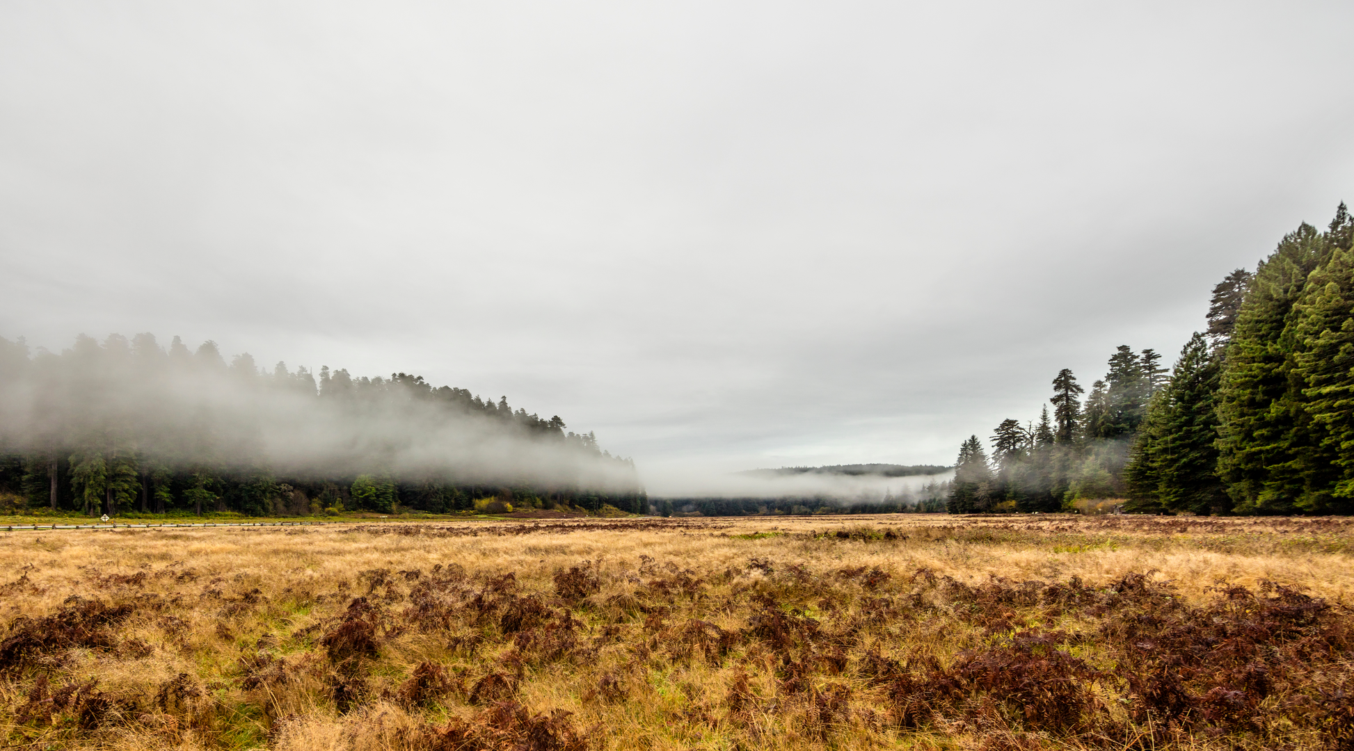
Nestled near Humboldt County, California, the Karl Knapp Trail and Foothill Loop Trail offers a delightful 4 km (approximately 2.5 miles) journey through a serene landscape with an elevation gain that is negligible, making it accessible to hikers of moderate experience levels. Getting ThereTo reach the trailhead, hikers can drive to the vicinity of Humboldt County, where the trail begins. If you're coming from the heart of Humboldt County, head towards the outskirts where the natural landscapes begin to unfold. There isn't a direct public transport route that takes you to the trailhead, so driving is the most feasible option. Parking is typically available near the trailhead, but it's advisable to arrive early during peak seasons to secure a spot.Trail ExperienceAs you embark on the trail, you'll be greeted by the lush greenery that is characteristic of Northern California. The path is well-defined and meanders through a mix of terrains, including dense forests and open meadows. The loop ensures that you won't tread the same ground twice, offering a fresh perspective throughout your hike.Flora and FaunaThe region is home to a diverse array of plant and animal life. Keep an eye out for the towering redwoods, which are a staple of the area's natural heritage. The understory is rich with ferns and a variety of shrubs, providing a verdant backdrop to your trek. Wildlife sightings may include deer, squirrels, and a plethora of bird species, so bring your binoculars if you're an avid birdwatcher.Historical SignificanceThe area around Humboldt County is steeped in history, with the trails often crossing paths with remnants of the past. The region was once inhabited by the Native American tribes, and later saw an influx of settlers during the Gold Rush era. As you hike, imagine the historical narratives that unfolded in these very forests and meadows.NavigationFor navigation purposes, HiiKER is an excellent tool to ensure you stay on the right path. The app provides detailed maps and trail information that can enhance your hiking experience. It's always a good idea to download the trail map on your device before setting out, as cell service can be spotty in remote areas.PreparationBefore you set out, make sure to pack enough water and snacks for the journey. The moderate difficulty rating means that while the trail isn't overly strenuous, it's still important to be prepared with the right gear and supplies. Wear sturdy hiking boots to navigate the varied terrain, and bring layers to adapt to the microclimates you may encounter along the way.Remember to leave no trace and respect the natural environment, ensuring that the beauty of the Karl Knapp Trail and Foothill Loop Trail can be enjoyed by future generations of hikers.

What to expect?
Activity types
Comments and Reviews
User comments, reviews and discussions about the Karl Knapp Trail and Foothill Loop Trail, California.
4.6
average rating out of 5
5 rating(s)