Download
Preview
Add to list
More
24.3 km
~2 days
828 m
Multi-Day
“Embark on a 15-mile trek through forests and meadows to Showers Lake, steeped in history and nature's splendor.”
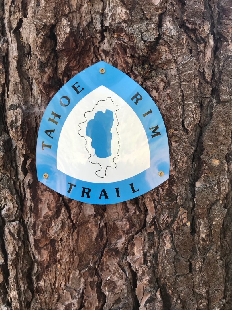
Embarking on the Tahoe Rim Trail towards Showers Lake, hikers will traverse approximately 24 kilometers (15 miles) of diverse landscapes, with an elevation gain of around 800 meters (2625 feet). This point-to-point trail, nestled near El Dorado County, California, is rated as medium difficulty, offering a blend of challenges and scenic rewards.
Getting to the Trailhead
The trailhead is accessible by car, located off of Highway 89. For those relying on public transportation, options are limited, but during the summer months, there may be shuttle services available from South Lake Tahoe to various points along the Tahoe Rim Trail. It's advisable to check the latest schedules and services before planning your trip.
Navigating the Trail
As you set out, the path will lead you through a mix of dense forests, open meadows, and rocky ridges. The use of a navigation tool like HiiKER can be invaluable for staying on track and being aware of upcoming changes in terrain or elevation. The trail is well-marked, but having a digital map can provide additional peace of mind.
Landmarks and Scenery
One of the first significant landmarks you'll encounter is Big Meadow, roughly 5 kilometers (3 miles) from the trailhead. This expansive meadow is a riot of wildflowers in the spring and summer months. As you continue, the climb becomes more pronounced, leading to stunning vistas of the surrounding Sierra Nevada mountains.
The trail meanders through stands of towering Jeffrey pines and red firs, with the occasional aspen grove providing a splash of color in the fall. Wildlife is abundant, with chances to spot mule deer, black bears, and a variety of bird species, so keep your camera ready and store your food securely.
Historical Significance
The region is rich in history, with the Sierra Nevada playing a crucial role during the California Gold Rush. The Tahoe Rim Trail itself crosses paths with remnants of the Washoe people's heritage, who have inhabited the area for thousands of years. Respect for the land and its history is paramount, as it adds depth to the hiking experience.
Approaching Showers Lake
As you near Showers Lake, which is approximately halfway through this segment of the Tahoe Rim Trail, the path can become rocky, and careful footing is required. The lake, sitting at an elevation of around 2,500 meters (8,200 feet), is a serene spot perfect for a rest or a refreshing swim in the clear mountain waters.
Preparation Tips
Before setting out, ensure you have enough water, as sources along the trail may be scarce or require treatment. Weather in the Sierra Nevada can change rapidly, so pack layers and be prepared for varying conditions. Lastly, practice Leave No Trace principles to preserve the beauty and integrity of the trail for future adventurers.
By planning ahead and respecting the natural and historical significance of the Tahoe Rim Trail, hikers can look forward to an enriching journey to Showers Lake, filled with panoramic views, diverse ecosystems, and a deep connection to the great outdoors.

What to expect?
Activity types
Comments and Reviews
User comments, reviews and discussions about the Tahoe Rim Trail - Showers Lake, California.
5.0
average rating out of 5
4 rating(s)