Download
Preview
Add to list
More
3.8 km
~58 min
126 m
Loop
“"Pepin Brook Trail's 4 km loop offers natural beauty, historical sites, and moderate challenges near Vancouver."”
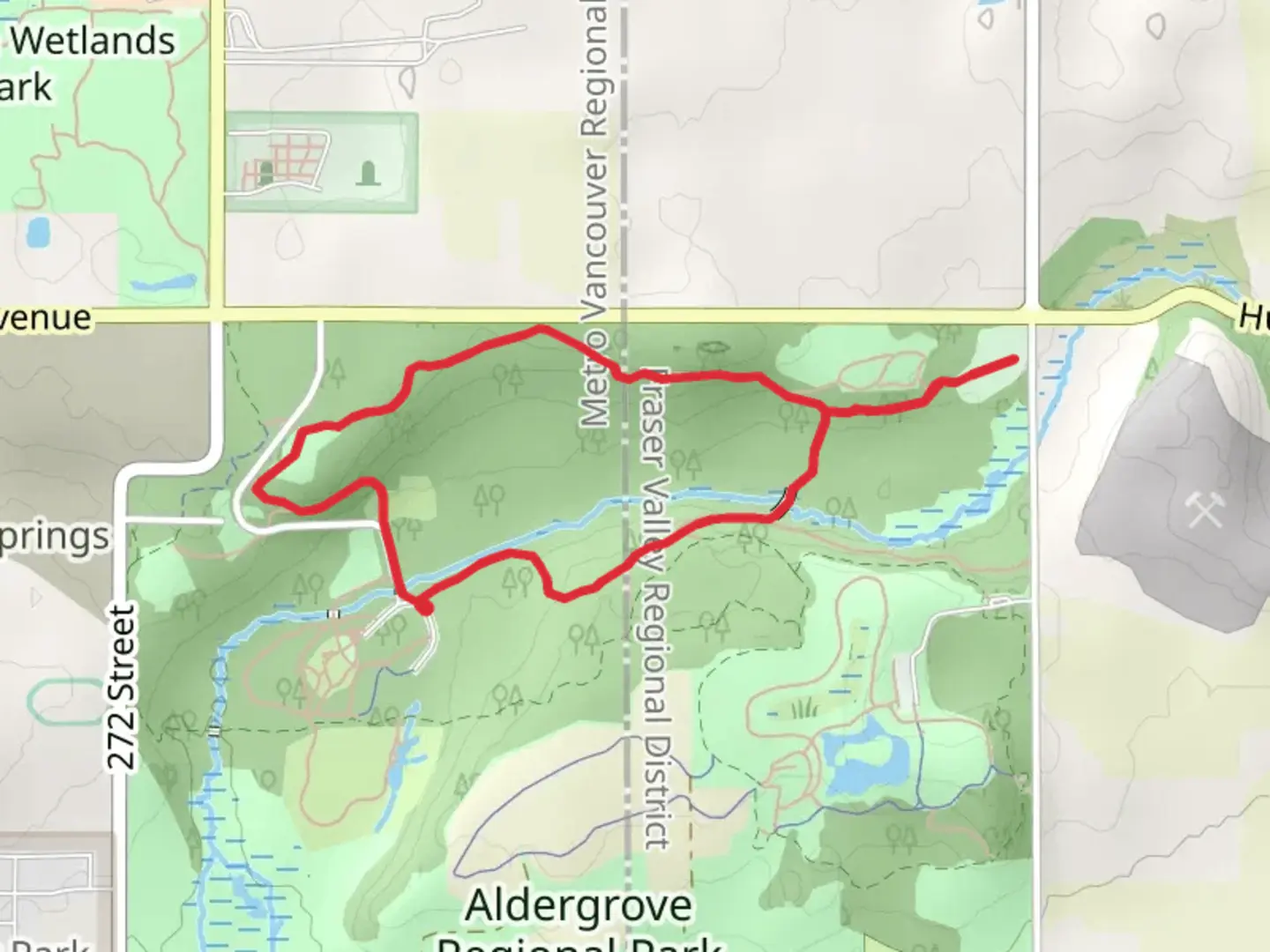
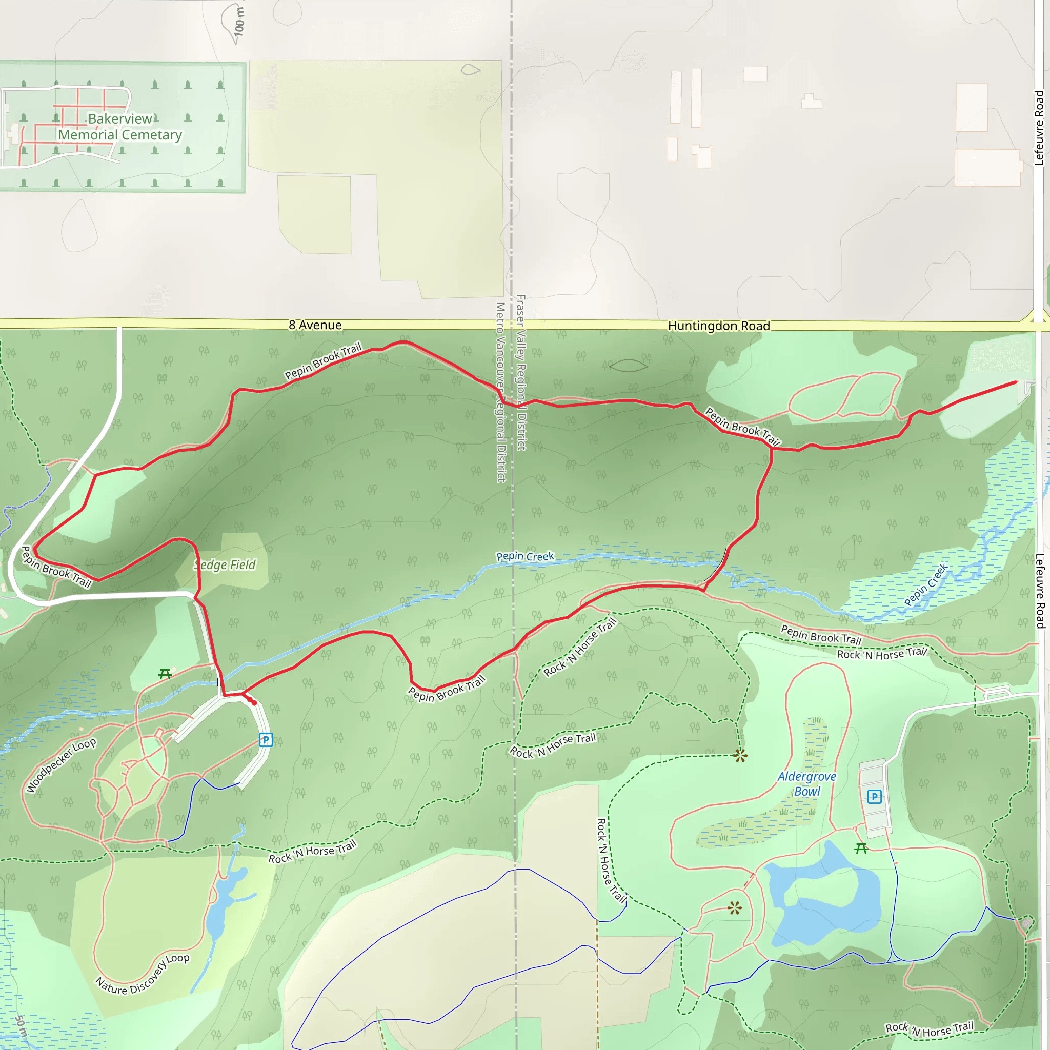
Starting near Greater Vancouver, British Columbia, the Pepin Brook Trail is a delightful 4 km (2.5 miles) loop with an elevation gain of approximately 100 meters (328 feet). This medium-difficulty trail offers a mix of natural beauty, historical significance, and a moderate challenge for hikers.
Getting There To reach the trailhead, you can drive or use public transport. If driving, head towards the Greater Vancouver area and look for parking near the intersection of 264 Street and 8 Avenue in Aldergrove. For those using public transport, take the bus to the nearest stop at 264 Street and 8 Avenue, which is a short walk from the trailhead.
Trail Overview The trail begins with a gentle ascent through a lush forest of Douglas firs and western red cedars. As you progress, the path becomes more undulating, offering a mix of flat sections and moderate climbs. The first significant landmark is a small wooden bridge crossing Pepin Brook, located about 1 km (0.6 miles) into the hike. This is a great spot to pause and enjoy the serene sounds of the flowing water.
Flora and Fauna The Pepin Brook Trail is rich in biodiversity. Keep an eye out for native plant species such as salal, Oregon grape, and sword ferns. Birdwatchers will be delighted by the presence of various species, including chickadees, woodpeckers, and the occasional bald eagle. Deer and raccoons are also commonly spotted along the trail.
Historical Significance This area holds historical significance as it was once inhabited by the Sto:lo First Nations people. Artifacts and remnants of their presence can still be found in the region, adding a layer of historical depth to your hike. The trail also passes by an old homestead site about 2 km (1.2 miles) in, where you can see the remains of a pioneer cabin and farming equipment.
Navigation and Safety The trail is well-marked, but it's always a good idea to have a reliable navigation tool. HiiKER is an excellent app for this purpose, providing detailed maps and real-time location tracking. The trail can be muddy in sections, especially after rain, so waterproof hiking boots are recommended.
Final Stretch As you near the end of the loop, the trail descends gently back towards the starting point. The final kilometer (0.6 miles) offers a mix of shaded forest and open meadows, providing a pleasant and varied end to your hike.
The Pepin Brook Trail offers a rewarding experience with its mix of natural beauty, historical landmarks, and moderate challenges, making it a must-visit for hikers in the Greater Vancouver area.
What to expect?
Activity types
Comments and Reviews
User comments, reviews and discussions about the Pepin Brook Trail, British Columbia.
average rating out of 5
0 rating(s)
