Download
Preview
Add to list
More
671.0 km
~40 days
19768 m
Multi-Day
“Embark on the Alpe-Adria Trail, an epic odyssey from Austrian Alps to the Adriatic's embrace.”
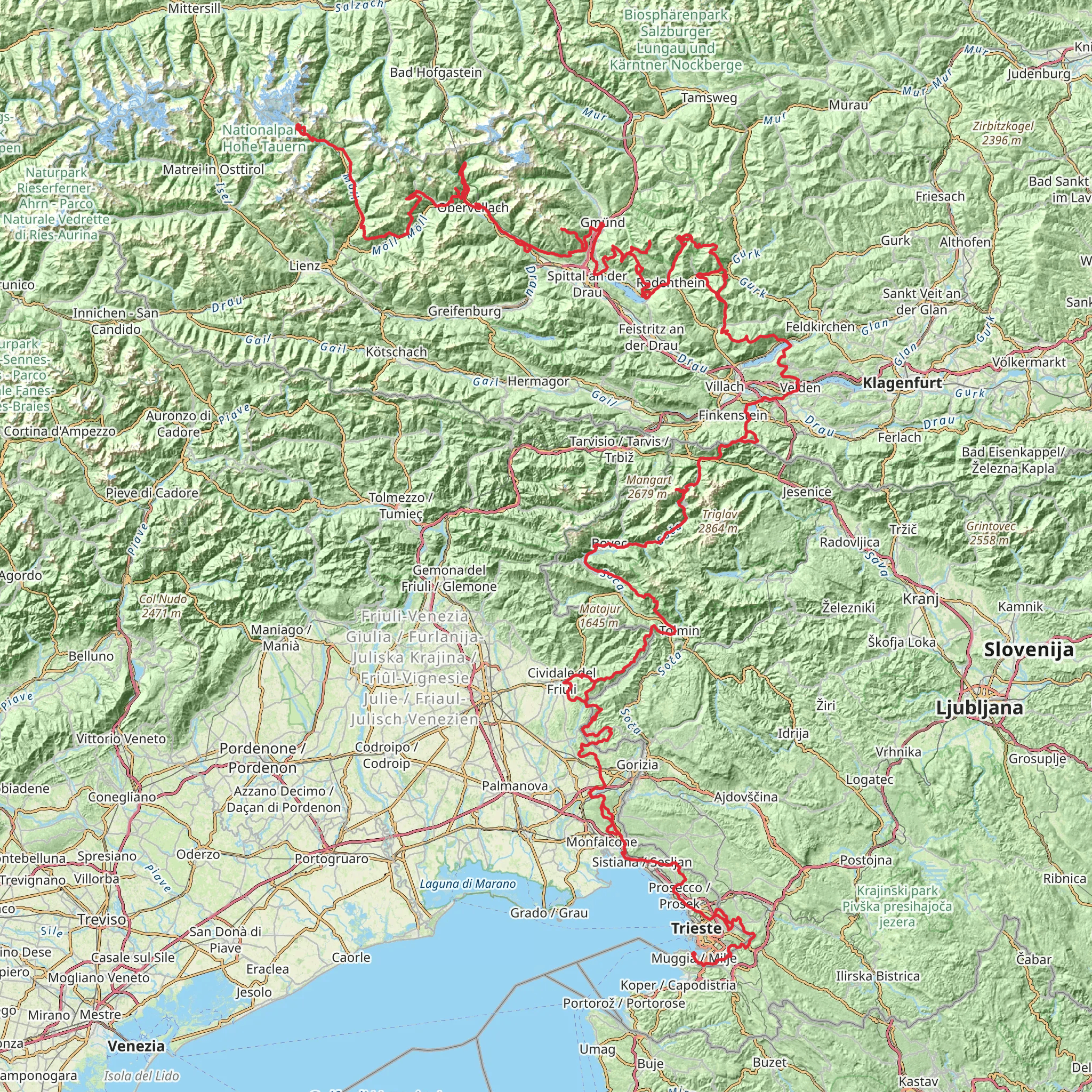
Spanning approximately 671 kilometers (417 miles) and with an elevation gain of around 19,700 meters (64,600 feet), the Alpe-Adria Trail is a remarkable journey that takes hikers from the heart of the Austrian Alps to the Adriatic Sea. The trail begins near Spittal an der Drau, Austria, a town that can be accessed by car or public transport. For those opting for public transport, trains and buses serve the area, with connections from major cities like Vienna and Salzburg.
Starting Point and Initial Ascent
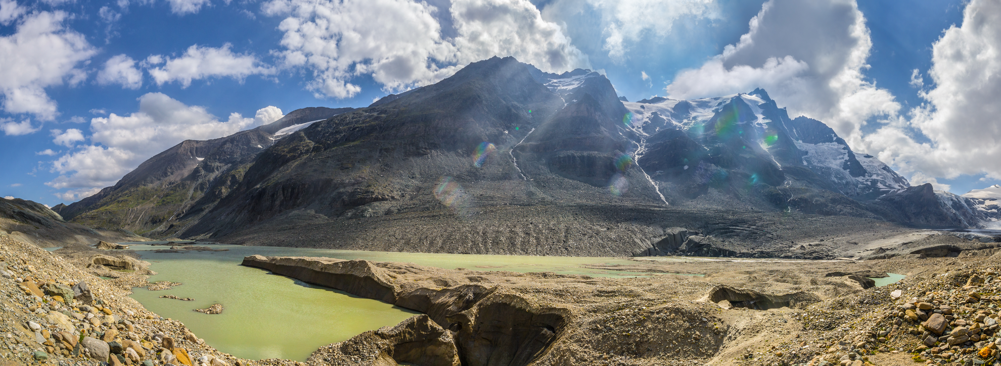
As you set out from the trailhead, you'll be greeted by the majestic peaks of the Hohe Tauern mountain range. The initial section of the trail is characterized by a series of ascents and descents through alpine terrain, offering breathtaking views of Austria's highest mountain, Grossglockner, which stands at 3,798 meters (12,461 feet).
Crossing Borders and Cultural Landscapes
The trail is not just a physical journey but also a cultural one, as it crosses into Italy and Slovenia before reaching the sea. Along the way, hikers will pass through charming villages and historical towns, each with its own unique heritage. The trail offers a chance to experience the diverse cultures and languages of the region, as well as to sample local cuisines.
Natural Wonders and Wildlife
The Alpe-Adria Trail is a haven for nature lovers. It winds through lush valleys, alongside pristine rivers, and over scenic passes. The trail traverses three national parks: the Hohe Tauern National Park in Austria, the Triglav National Park in Slovenia, and the Friulian Dolomites Natural Park in Italy. These parks are home to a rich variety of flora and fauna, including chamois, ibex, and golden eagles. Hikers should be prepared for possible encounters with wildlife and always respect the natural habitat.
Historical Significance
The regions through which the Alpe-Adria Trail passes are steeped in history. The trail offers insights into the World War I front lines in the Julian Alps, ancient Roman roads, and medieval trade routes. Hikers will have the opportunity to visit historical landmarks and learn about the events that shaped the area.
Navigation and Planning
To navigate the trail, hikers can use the HiiKER app, which provides detailed maps and information on the route. Given the trail's length and varying terrain, it's essential to plan each day's hike carefully, taking into account the distance and elevation gain. Accommodations along the trail range from mountain huts to guesthouses, allowing for a comfortable rest after a day's hike.
Reaching the Adriatic Sea
The final stretch of the trail descends towards the Adriatic coast, culminating in a dramatic change of scenery from alpine landscapes to Mediterranean vistas. The trail ends at the sea, where hikers can dip their feet in the water to celebrate the completion of an epic journey through some of Europe's most stunning and diverse landscapes.
Comments and Reviews
User comments, reviews and discussions about the Alpe - Adria Trail, Austria.
4.83
average rating out of 5
6 rating(s)

