Download
Preview
Add to list
More
82.2 km
~5 days
1739 m
Multi-Day
“Embark on the Ouachita National Recreation Trail for a historic, medium-difficulty hike through Oklahoma's scenic, wildlife-rich mountains.”
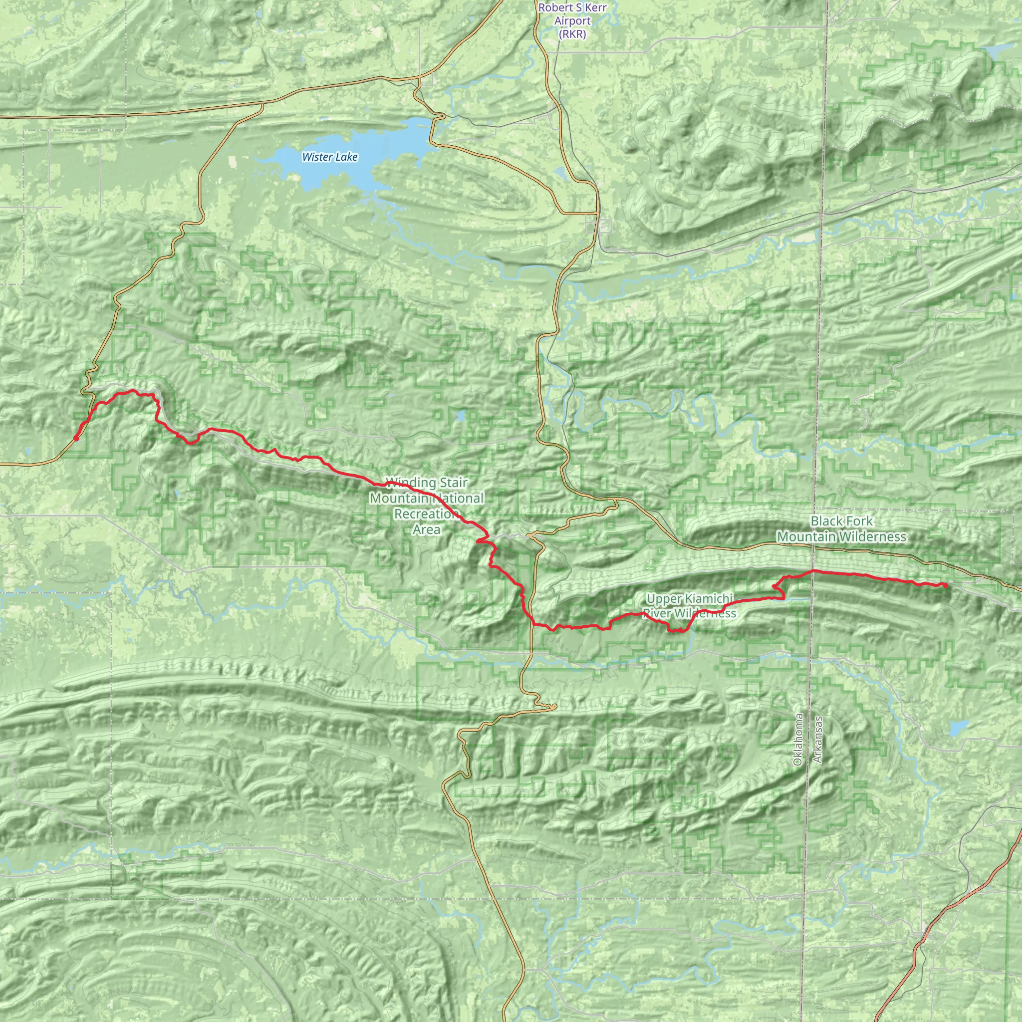
Spanning approximately 82 kilometers (51 miles) and with an elevation gain of around 1700 meters (5577 feet), the Ouachita National Recreation Trail in Oklahoma offers a medium-difficulty hiking experience through the picturesque Ouachita Mountains. This point-to-point trail is a segment of the larger Ouachita Trail, which extends into Arkansas, and is known for its rolling hills, lush forests, and clear streams.
Getting to the Trailhead
The western terminus of the Ouachita Trail is located near Talimena State Park, just off of Highway 271 near Talihina, Oklahoma. For those driving, parking is available at the state park. If you're using public transportation, the nearest significant towns with bus services are Mena, Arkansas, and Poteau, Oklahoma. From these locations, you may need to arrange a taxi or a shuttle service to reach the trailhead.
Trail Experience
As you embark on the trail from the Oklahoma side, you'll be greeted by mixed hardwood and pine forests, which are home to a diverse array of wildlife, including white-tailed deer, black bears, and numerous bird species. The trail is well-marked with blue blazes, and using HiiKER for navigation will help ensure you stay on the correct path.
The first section of the trail introduces you to the gentle undulations of the Ouachita Mountains. You'll cross several streams and creeks, which can be a source of fresh water if you have a proper filtration system. Always be prepared to treat water before drinking.
Landmarks and Scenery
One of the most notable features along the trail is the Boardstand-Old Military Road Loop, a historic section that was once used by the military during the early 19th century. This area offers a glimpse into the past and showcases the trail's historical significance.
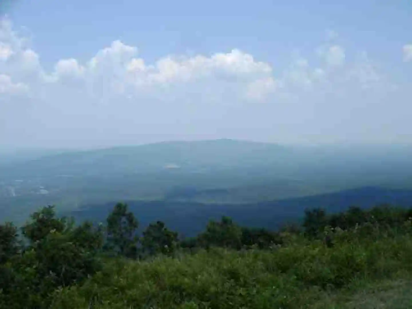
As you progress, you'll encounter the Winding Stair Mountain National Recreation Area, which provides stunning vistas and challenging terrain. The Winding Stair Mountain area is a highlight for many hikers, with its panoramic views and rocky outcrops.
Camping and Rest Areas
There are several designated camping areas along the trail, which are typically near water sources. These spots offer a chance to rest and enjoy the tranquility of the forest. Always follow Leave No Trace principles to minimize your impact on the environment.
Preparation and Safety
Before setting out, ensure you have a detailed map and have planned your route using HiiKER. Weather in the Ouachita Mountains can be unpredictable, so pack appropriate gear for varying conditions. It's also wise to inform someone of your hiking plans and expected return time.
Flora and Fauna
The trail is a haven for botany enthusiasts, with a rich variety of plant life, including wildflowers in the spring and a tapestry of colors in the fall. Be aware of poison ivy and other plants that could cause irritation.
Conclusion
The Ouachita National Recreation Trail in Oklahoma is a rewarding experience for those seeking adventure amidst the natural beauty of the Ouachita Mountains. With its historical routes, diverse ecosystems, and challenging terrain, it offers something for every hiker. Remember to plan, prepare, and respect the wilderness to ensure a safe and enjoyable hike.
What to expect?
Activity types
Comments and Reviews
User comments, reviews and discussions about the Ouachita National Recreation Trail - Oklahoma, Arkansas.
4.66
average rating out of 5
29 rating(s)

