Download
Preview
Add to list
More
12.7 km
~3 hrs 17 min
455 m
Out and Back
“Experience the fusion of natural beauty and historical richness on this rewarding Arkansas trail adventure.”
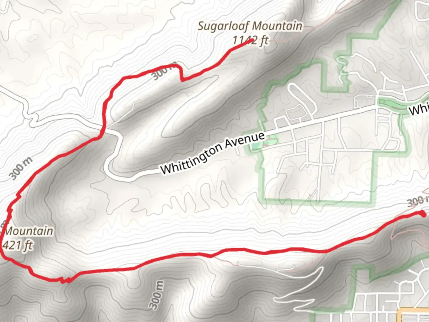
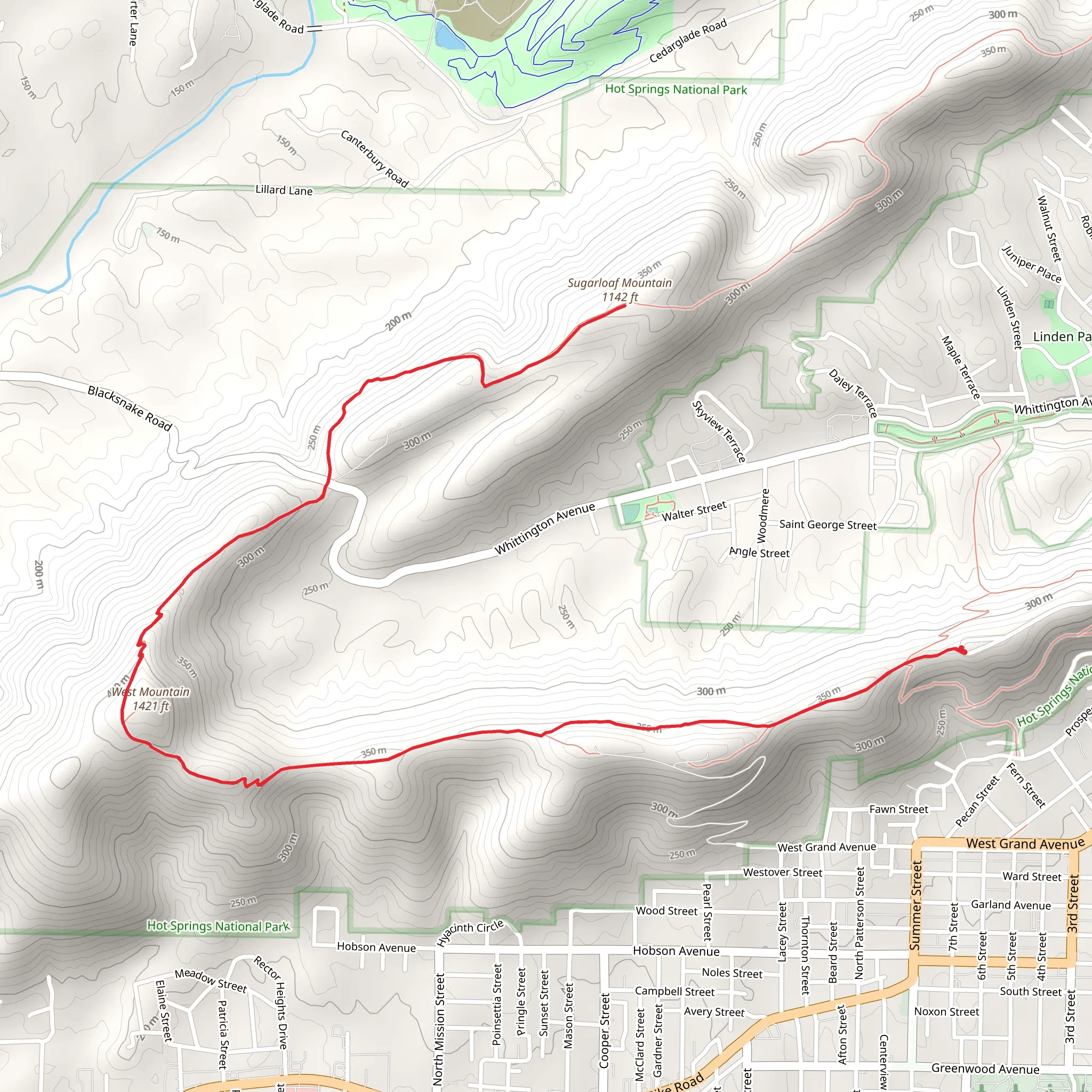
The West Mountain and Sugarloaf Mountain via Sunset Trail is a moderately challenging hike that spans approximately 13 kilometers (about 8 miles) with an elevation gain of around 400 meters (roughly 1,300 feet). This out-and-back trail is nestled near Garland County, Arkansas, and offers hikers a blend of scenic vistas, diverse flora, and the opportunity to explore the rich history of the Hot Springs National Park area.
Getting to the Trailhead To reach the trailhead, you can drive to the designated parking area near the Hot Springs Mountain Tower, which is a notable landmark in the region. If you're relying on public transportation, you can take a bus to the city of Hot Springs and then a taxi or a local shuttle to the park. Once at the park, follow signs for the Sunset Trail to locate the starting point.
The Hike Itself As you embark on the trail, you'll be greeted by a canopy of hardwood trees that provide a habitat for various bird species, making it a delightful experience for birdwatchers. The path meanders through the forest, with the first section leading you to a series of switchbacks that gradually ascend West Mountain. At approximately 3.5 kilometers (2.2 miles), you'll reach the summit, which offers panoramic views of the surrounding Ouachita Mountains and the city of Hot Springs.
Continuing on, the trail descends into a saddle and then climbs again towards Sugarloaf Mountain. This section is particularly rich in history, as the area was once frequented by Native Americans and later by European settlers who sought the purported healing properties of the natural hot springs.
Landmarks and Wildlife Around the halfway mark, you'll encounter balanced rock formations and may spot wildlife such as white-tailed deer and armadillos. The trail also passes by several thermal springs, though these are off-limits for soaking due to their protected status within the national park.
Navigation and Preparation To navigate the trail, HiiKER is an excellent tool for accessing detailed maps and waypoints. Be sure to download the trail map before you set out, as cell service can be spotty in some areas. It's also advisable to carry plenty of water, snacks, and a first-aid kit, as well as to wear sturdy hiking boots and dress in layers to accommodate changing weather conditions.
Historical Significance The region's history is palpable throughout the hike. Hot Springs National Park is known as "The American Spa" and has been a destination for health and wellness for centuries. The park's historic Bathhouse Row and the grand architecture of the early 20th century are testaments to the area's long-standing allure.
Flora and Fauna The trail is home to a diverse array of plant life, including wildflowers in the spring and a stunning display of fall foliage. The mixed hardwood and pine forests provide a habitat for a variety of animals, and the changing elevations create microenvironments that support this biodiversity.
Conclusion As you retrace your steps back to the trailhead, take a moment to appreciate the tranquility of the forest and the sense of accomplishment from completing this rewarding hike. Remember to leave no trace and to respect the natural and historical significance of this beautiful trail.
What to expect?
Activity types
Comments and Reviews
User comments, reviews and discussions about the West Mountain and Sugarloaf Mountain via Sunset Trail, Arkansas.
4.47
average rating out of 5
89 rating(s)
