Download
Preview
Add to list
More
Trail length
2.1 km
Time
~27 min
Elevation Gain
23 m
Hike Type
Loop
“The Sandy Beach Loop Trail near Cleburne County offers an easy, scenic hike with diverse landscapes.”
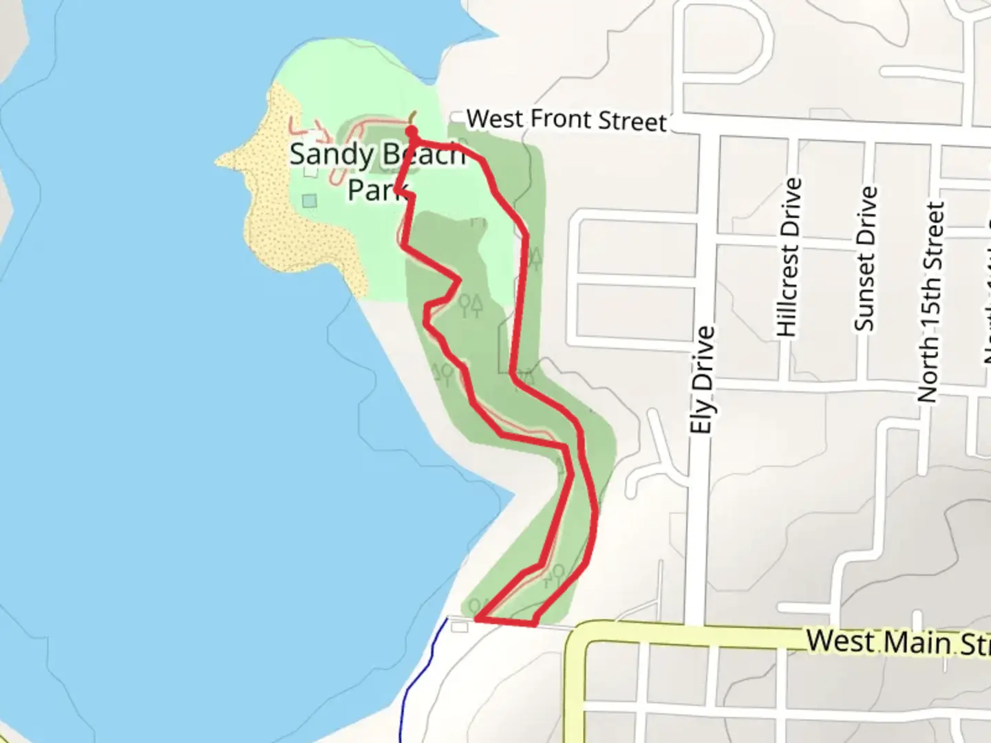
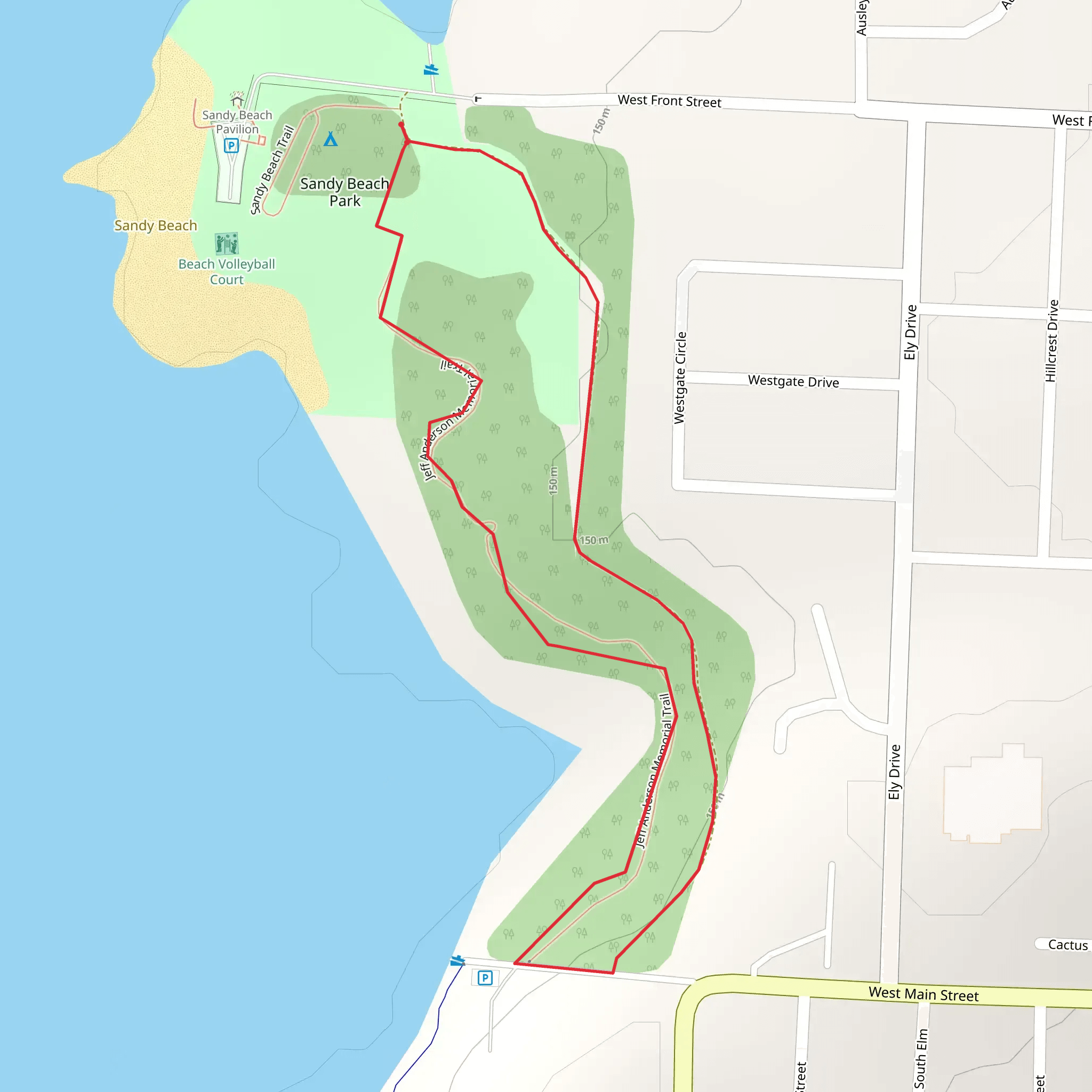
Starting near Cleburne County, Arkansas, the Sandy Beach Loop Trail offers a delightful 2 km (approximately 1.24 miles) loop with no significant elevation gain, making it accessible for a wide range of hikers. The trailhead is conveniently located near the Sandy Beach Park, a well-known local landmark.
Getting There For those traveling by car, the trailhead is easily accessible from Heber Springs, Arkansas. From Heber Springs, head south on AR-25 S for about 3 miles (4.8 km) until you reach Sandy Beach Park. There is ample parking available at the park. If you prefer public transport, the nearest bus stop is in Heber Springs, and from there, a short taxi ride or a bike rental can get you to the trailhead.
Trail Navigation The loop is well-marked and easy to follow. For navigation, the HiiKER app is highly recommended as it provides detailed maps and real-time updates.
What to Expect The trail meanders through a mix of sandy shores and wooded areas, offering a variety of landscapes. As you start, you'll walk along the edge of Greers Ferry Lake, where the sandy beach provides a serene setting. This section is particularly beautiful during sunrise and sunset, with the light reflecting off the water.
Flora and Fauna The wooded sections of the trail are home to a variety of native plants and trees, including oak, hickory, and pine. Keep an eye out for local wildlife such as deer, squirrels, and a variety of bird species. Birdwatchers will appreciate the diversity, especially during migration seasons.
Points of Interest About halfway through the loop, you'll come across a small, picturesque cove. This is a great spot to take a break, enjoy a picnic, or even take a quick swim if the weather permits. The water here is usually calm and clear, making it a popular spot for families.
Historical Significance The area around Greers Ferry Lake has a rich history. The lake itself was created by the construction of the Greers Ferry Dam in the 1960s, which was one of the last major dams built by the U.S. Army Corps of Engineers. The dam project was significant for the local economy and helped to control flooding in the region.
Safety and Preparation While the trail is rated as medium difficulty, it's always wise to come prepared. Wear sturdy hiking shoes, bring plenty of water, and consider packing a small first-aid kit. The trail can get muddy after rain, so check the weather forecast and trail conditions on HiiKER before heading out.
Final Stretch As you near the end of the loop, you'll return to the sandy beach area, where you can relax and enjoy the views of Greers Ferry Lake. The gentle waves and sandy shores make it a perfect spot to unwind after your hike.
What to expect?
wheelchair-friendly
coastal
dog-friendly
forest
lakes
family-friendly
stroller-friendly
scenic-views
wildflowers
wildlife
Activity types
hiking
trail-running
walking
Comments and Reviews
User comments, reviews and discussions about the Sandy Beach Loop Trail, Arkansas.
4.54
average rating out of 5
50 rating(s)
