Download
3D Flyover
Add to list
More
59.3 km
~3 days
1642 m
Multi-Day
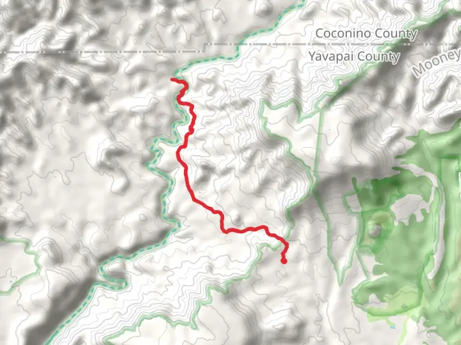
Sycamore Basin Trail
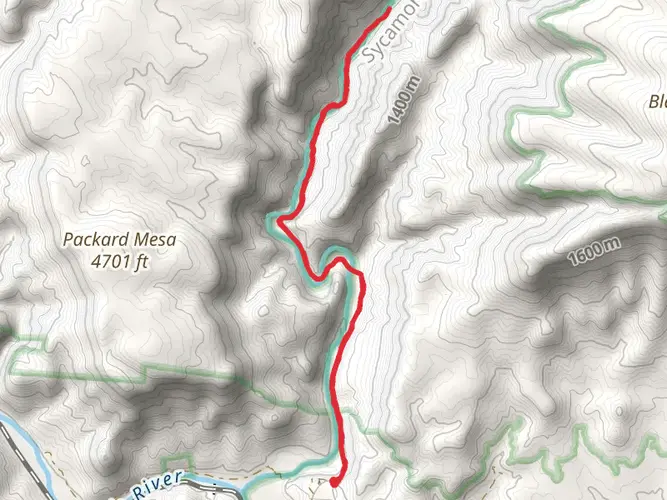
Starting Point and Access The Sycamore Basin Trail is nestled near Williams, Arizona, and serves as a gateway to the diverse landscapes of the region. To reach the trailhead, hikers can drive from Williams on Route 66, turning onto Forest Road 110. The trailhead is accessible by car, and parking is available near the start of the trail. Public transport options are limited, so driving is the most feasible way to reach the trailhead.
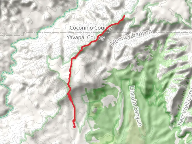
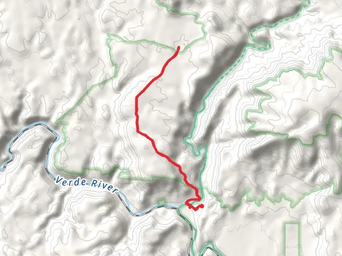
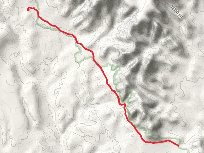
Trail Overview Spanning approximately 59 kilometers (about 36.7 miles) and with an elevation gain of around 1600 meters (approximately 5250 feet), the Sycamore Basin Trail is an out-and-back trail that offers a medium difficulty rating. It is well-suited for hikers who have some experience and are looking for a challenge that is neither too easy nor excessively strenuous.
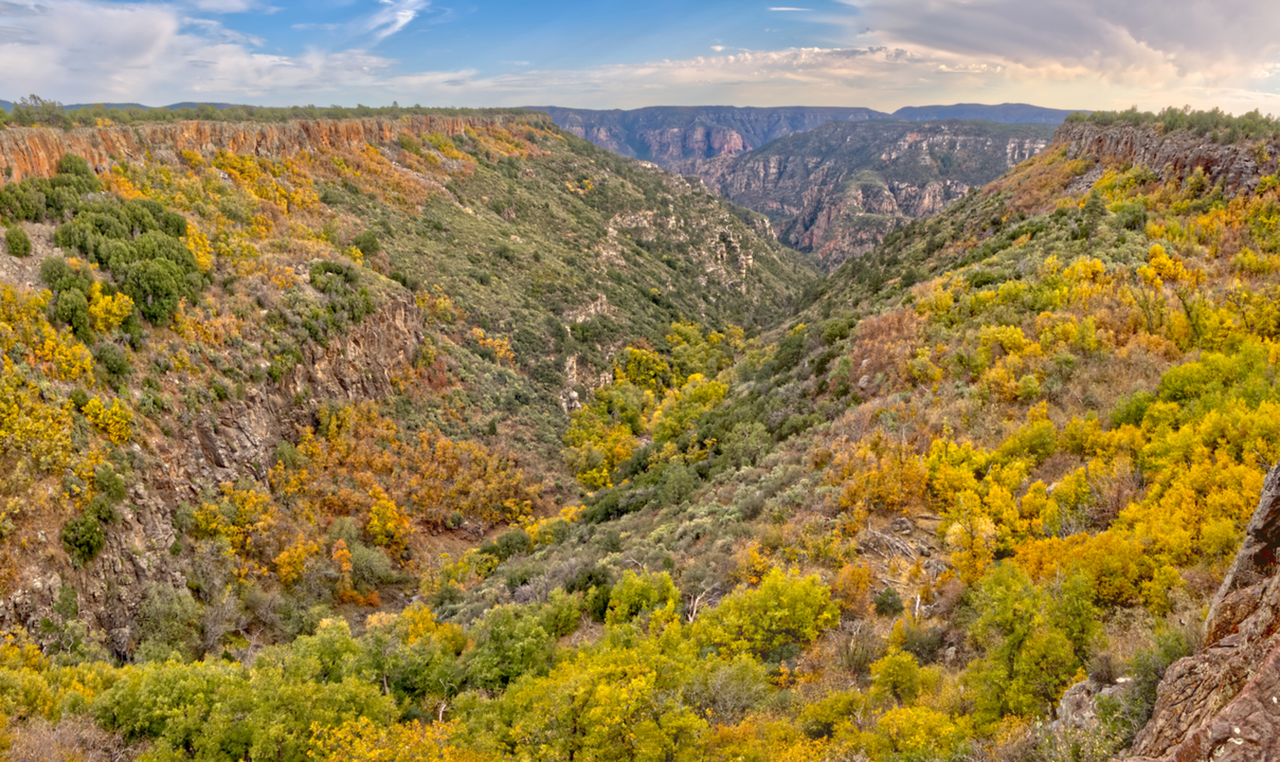
Terrain and Scenery As you embark on the Sycamore Basin Trail, you'll traverse through a variety of terrains, including dense pine forests, open meadows, and rocky canyons. The trail is well-marked, but hikers should always carry a reliable navigation tool like HiiKER to ensure they stay on the correct path.
Landmarks and Points of Interest The trail will take you through the heart of the Sycamore Canyon Wilderness, which is known for its stunning sycamore trees that line the creek beds. Approximately 10 kilometers (6.2 miles) into the hike, you'll encounter the Pomeroy Tanks, a series of natural water pools that are a perfect spot to rest and enjoy the tranquility of the area.
Wildlife and Flora The Sycamore Basin Trail is home to a diverse array of wildlife. Hikers may spot mule deer, elk, and a variety of bird species, including the peregrine falcon. The area is also rich in plant life, with wildflowers blooming in the spring and summer months, adding a splash of color to the landscape.
Historical Significance The region around the Sycamore Basin Trail is steeped in history. The area was once inhabited by Native American tribes, and later by settlers during the westward expansion. Evidence of their presence can be seen in the form of ancient petroglyphs and old homesteads that dot the landscape.
Preparation and Safety Before setting out on the Sycamore Basin Trail, hikers should ensure they are well-prepared with adequate water, food, and clothing for changing weather conditions. The trail can be remote in sections, so it's important to let someone know your plans and expected return time. Cell service may be spotty, so physical maps or downloaded maps on devices are recommended.
Conclusion The Sycamore Basin Trail offers a rewarding experience for those looking to explore the natural beauty of Arizona. With its moderate difficulty, historical landmarks, and diverse ecosystems, it's a hike that promises both a physical challenge and a rich sensory experience.

Comments and Reviews
User comments, reviews and discussions about the Sycamore Basin Trail, Arizona.
4.5
average rating out of 5
2 rating(s)