Super Trail, Mount Wrightson and Sky Islands Traverse Loop
Download
Preview
Add to list
More
23.4 km
~1 day 1 hrs
1216 m
Loop
“Trekking through the heart of Coronado National Forest, the Super Trail Loop promises diverse landscapes and rich history.”
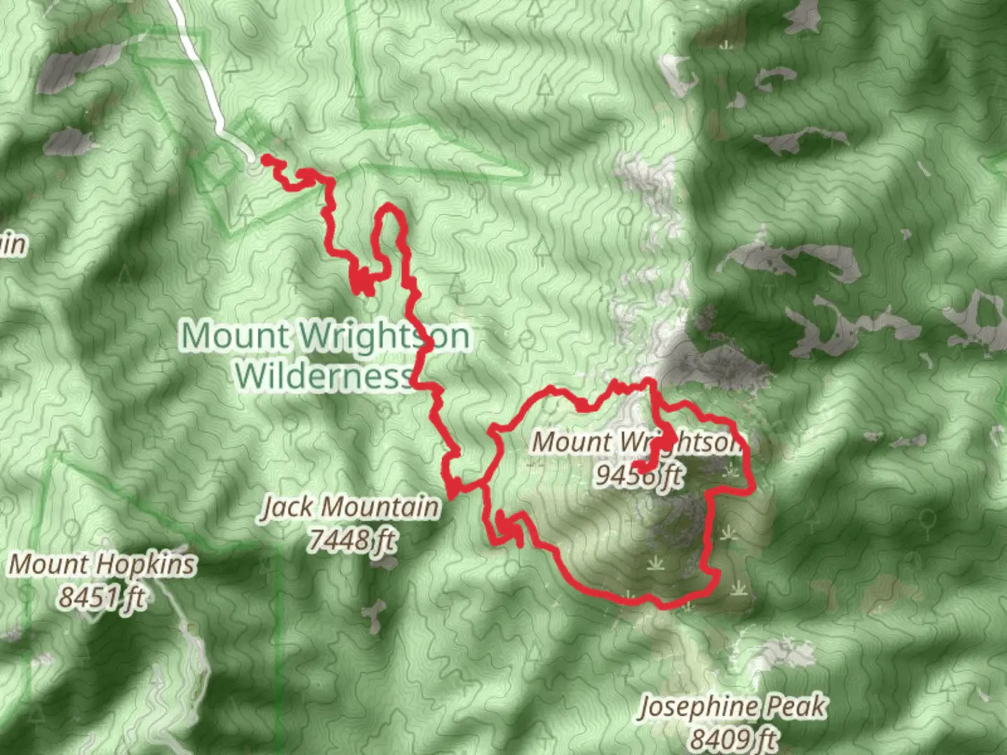
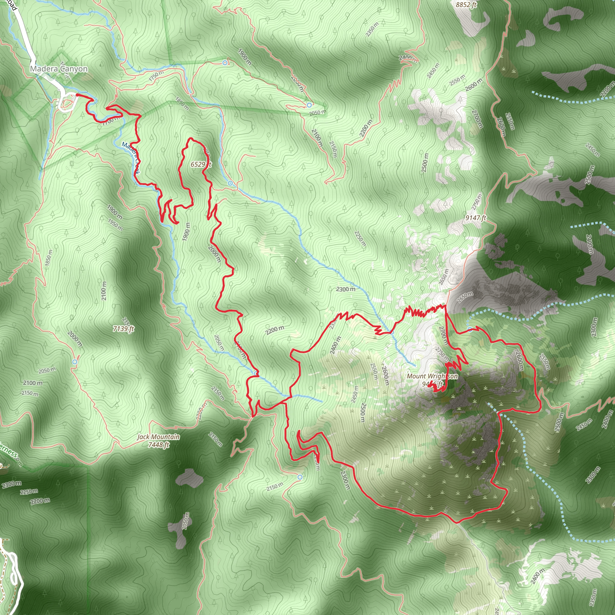
Embarking on the Super Trail, Mount Wrightson and Sky Islands Traverse Loop, hikers will find themselves exploring the heart of the Coronado National Forest, near Santa Cruz County, Arizona. This loop, approximately 23 kilometers (around 14 miles) in length, with an elevation gain of roughly 1200 meters (close to 3940 feet), offers a medium difficulty rating, making it accessible to hikers with a reasonable level of fitness and experience.
Getting to the Trailhead
The trailhead is conveniently located a short drive from Tucson, Arizona. To reach the starting point by car, hikers should take the I-19 S from Tucson towards Nogales, exiting at the AZ-83 S. Following this scenic route will lead directly to the parking area near the trailhead. For those relying on public transportation, options are limited, but regional shuttles may offer services close to the trailhead, from which hikers can take a taxi or arrange a pickup.
Navigating the Trail
Hikers can utilize the HiiKER app to navigate the trail, ensuring they stay on the correct path throughout their journey. The app provides detailed maps and waypoints that are particularly useful in areas where the trail may be less defined.
The Journey Begins
The trail starts with a gradual ascent through oak woodlands, transitioning into pine forests as the elevation increases. The first few kilometers are a warm-up for the steeper sections ahead. Hikers will notice the change in vegetation, indicative of the unique Sky Island ecosystems, where isolated mountain ranges rise above the surrounding desert and grasslands.
Historical Significance and Landmarks
The region is steeped in history, with the Sky Islands being a part of the traditional lands of the Tohono O'odham Nation. As hikers ascend, they may encounter remnants of the area's mining past, including old prospector camps and abandoned mines. The trail also offers stunning views of Mount Wrightson, the highest peak in the Santa Rita Mountains, named after a prospector who was killed by Apaches in the area.
Wildlife and Nature
The diverse ecosystems of the Sky Islands are home to an array of wildlife, including black bears, deer, and over 250 species of birds, making it a paradise for birdwatchers. The higher elevations provide opportunities to spot the rare and elusive Mexican spotted owl. Hikers should be prepared for wildlife encounters by keeping a safe distance and storing food securely.
Challenging Ascents and Panoramic Views
As the trail climbs higher, the switchbacks become more frequent and challenging. Around the halfway mark, hikers will reach the Josephine Saddle, offering a moment of respite and panoramic views. From here, the trail continues to ascend towards the summit of Mount Wrightson, which, although optional, rewards those who make the detour with breathtaking 360-degree vistas.
Descent and Completion
The descent is equally spectacular, with the trail winding down through aspen groves and riparian areas. Hikers will complete the loop by returning to the trailhead, having traversed one of Arizona's most remarkable landscapes.
Preparation and Safety
Hikers should be well-prepared with plenty of water, especially during the hotter months, and be mindful of the altitude changes that can affect weather conditions. It's advisable to check the forecast before setting out and to be equipped with layers of clothing, as temperatures can vary significantly. Always leave no trace, respect the natural environment, and consider the historical significance of the land you are traversing.
What to expect?
Activity types
Comments and Reviews
User comments, reviews and discussions about the Super Trail, Mount Wrightson and Sky Islands Traverse Loop, Arizona.
4.27
average rating out of 5
11 rating(s)
