Download
Preview
Add to list
More
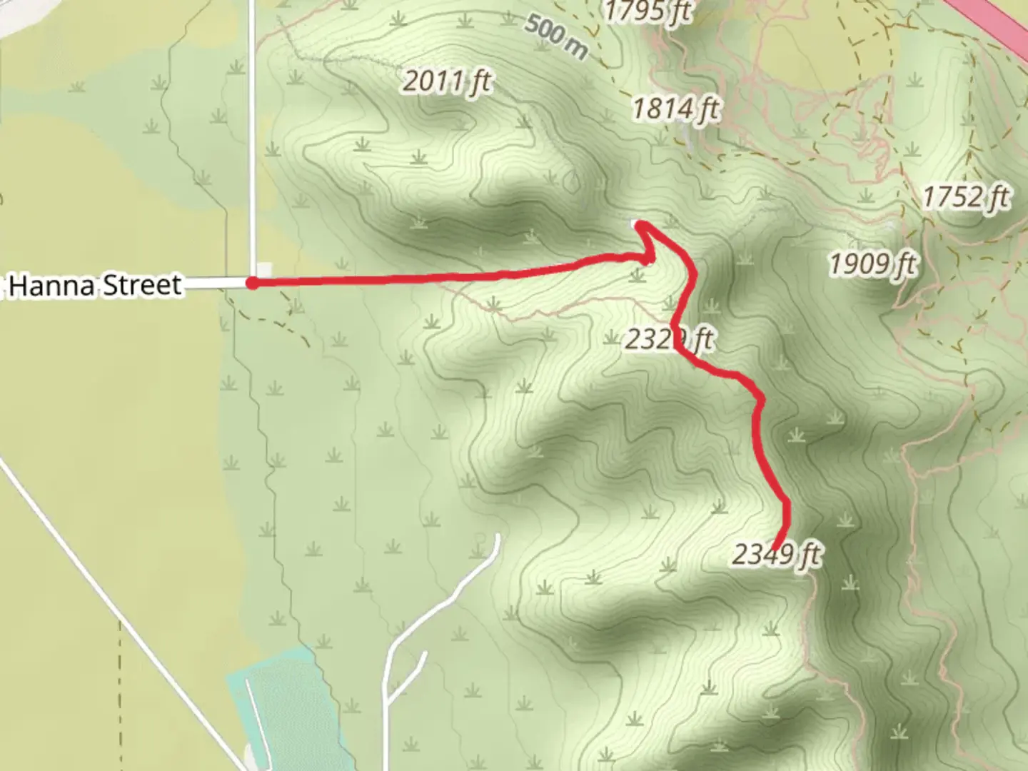
5.5 km
~1 hrs 38 min
326 m
Out and Back
“Explore the Casa Grande Mountains' rich history and vibrant desert life on a scenic 6-km trail.”
Nestled in the rugged terrain near Pinal County, Arizona, the Casa Grande Mountains present a moderately challenging out-and-back trail that spans approximately 6 kilometers (about 3.7 miles) with an elevation gain of around 300 meters (roughly 980 feet). This trail offers a blend of scenic views, desert flora, and the opportunity to explore the unique geology of the region.
Getting to the Trailhead
To reach the trailhead, hikers can drive to the Casa Grande Mountain Park, which is easily accessible from the nearby city of Casa Grande. If you're coming from Phoenix or Tucson, take the I-10 freeway and exit for Casa Grande. Follow the signs directing you towards the mountain park. There is a parking area where you can leave your car before starting your hike. Public transport options are limited, so driving is the most convenient way to reach the trailhead.
Navigating the Trail
As you embark on your hike, it's advisable to use a navigation tool like HiiKER to keep track of your progress and ensure you're on the right path. The trail begins with a gradual incline, winding through the Sonoran Desert landscape. You'll be surrounded by a variety of cacti, including the iconic saguaro, cholla, and prickly pear. Keep an eye out for desert wildlife such as jackrabbits, lizards, and a variety of bird species.
Historical Significance and Landmarks
The Casa Grande Mountains hold historical significance, with the area being home to the ancient Hohokam civilization. As you hike, you may notice remnants of their presence in the form of petroglyphs etched into the rocks. These ancient markings are a testament to the rich cultural history of the region.
Approximately halfway through the hike, you'll reach a notable landmark: a large, solitary boulder known as "Rock House." This natural feature serves as a good resting point and a photo opportunity. From here, the trail continues to ascend, offering increasingly impressive views of the surrounding desert and the distant mountain ranges.
Flora and Fauna
The trail is alive with the vibrant ecosystem of the Sonoran Desert. In addition to the cacti, you'll find mesquite trees, palo verde, and creosote bushes. Springtime hikers may be treated to a colorful display of wildflowers. The area is also home to the Gila monster and the occasional coyote, so it's important to stay aware of your surroundings.
Final Ascent and Views
The last stretch of the trail becomes steeper, leading to the highest point of the hike. Here, you'll be rewarded with panoramic views of the Casa Grande Valley and the city below. The summit is an excellent spot to take a break and enjoy the fruits of your labor before beginning the descent back to the trailhead.
Remember to bring plenty of water, sunscreen, and a hat, as the Arizona sun can be intense, and there is little shade along the trail. The best times to hike are during the cooler months or early in the morning during the summer to avoid the midday heat. Always check the weather before heading out, as the desert can experience sudden changes in conditions.

What to expect?
Activity types
Comments and Reviews
User comments, reviews and discussions about the Casa Grande Mountains, Arizona.
4.63
average rating out of 5
19 rating(s)