Download
Preview
Add to list
More
22.5 km
~2 days
1619 m
Multi-Day
Tanner Trail
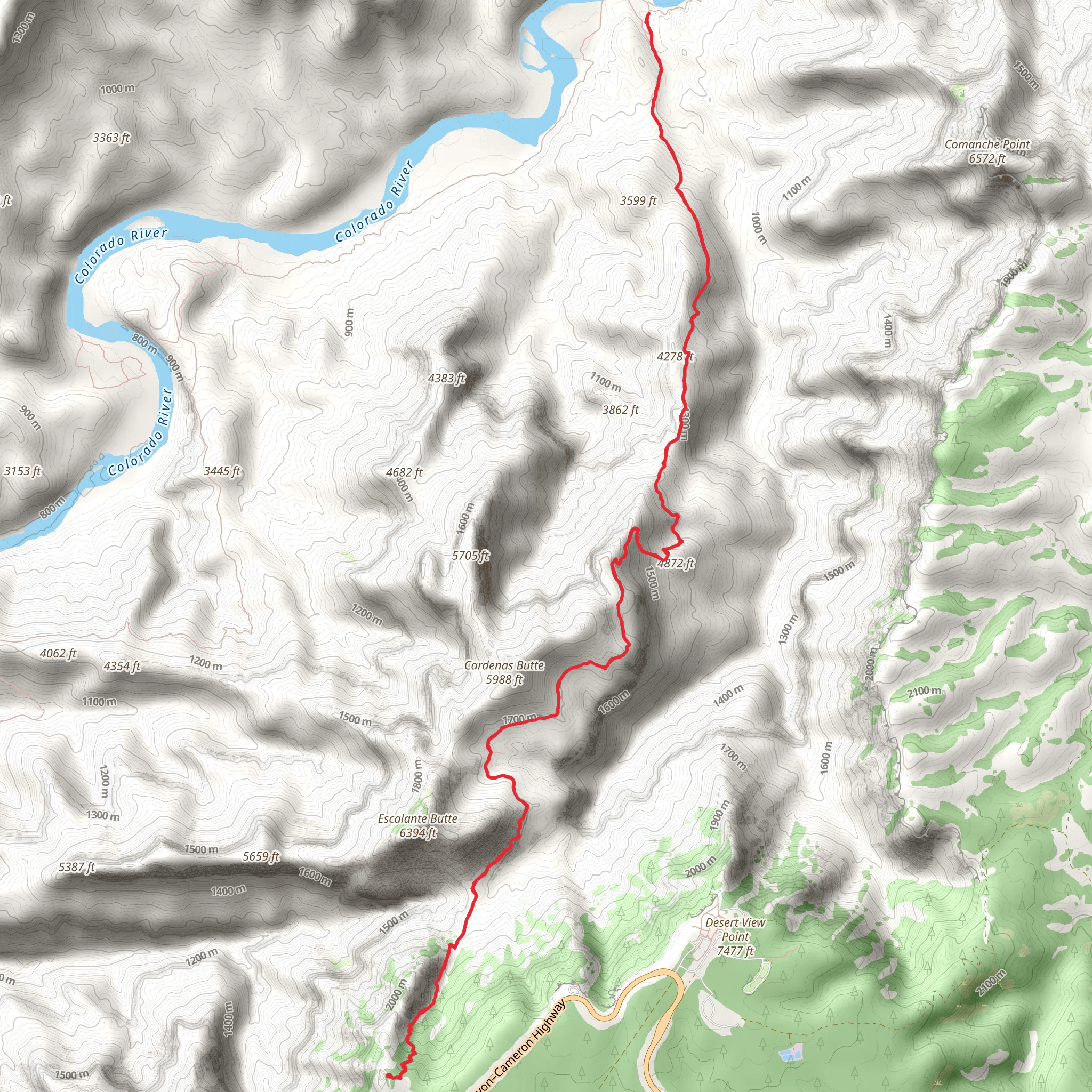
Starting Point and Access The Tanner Trail is a challenging and rewarding hike located near the Grand Canyon in Arizona. To reach the trailhead, hikers can drive to the eastern part of the Grand Canyon National Park, specifically to Lipan Point, which is accessible via Desert View Drive. There is no direct public transportation to the trailhead, so a personal vehicle or a taxi service is required. Parking is available at Lipan Point, which offers stunning views even before the hike begins.
Trail Overview The Tanner Trail is an approximately 22 km (13.7 miles) out-and-back trail with an elevation gain of around 1600 meters (5250 feet). The trail is rated as medium difficulty, but hikers should not underestimate the challenges posed by the steep terrain and the often extreme weather conditions of the Grand Canyon.
Ascent and Descent The trail begins with a steep descent from Lipan Point, dropping quickly into the canyon. The path is rugged and can be quite rocky, so sturdy hiking boots are recommended. The descent is relentless, and hikers should be prepared for a strenuous return trip, as the climb back up is equally demanding.
Historical Significance The Tanner Trail has a rich history, as it follows a route that was originally used by Native Americans and later by miners in the late 19th and early 20th centuries. The trail is named after Seth Tanner, a prospector and pioneer who improved the path to access his mining claims.
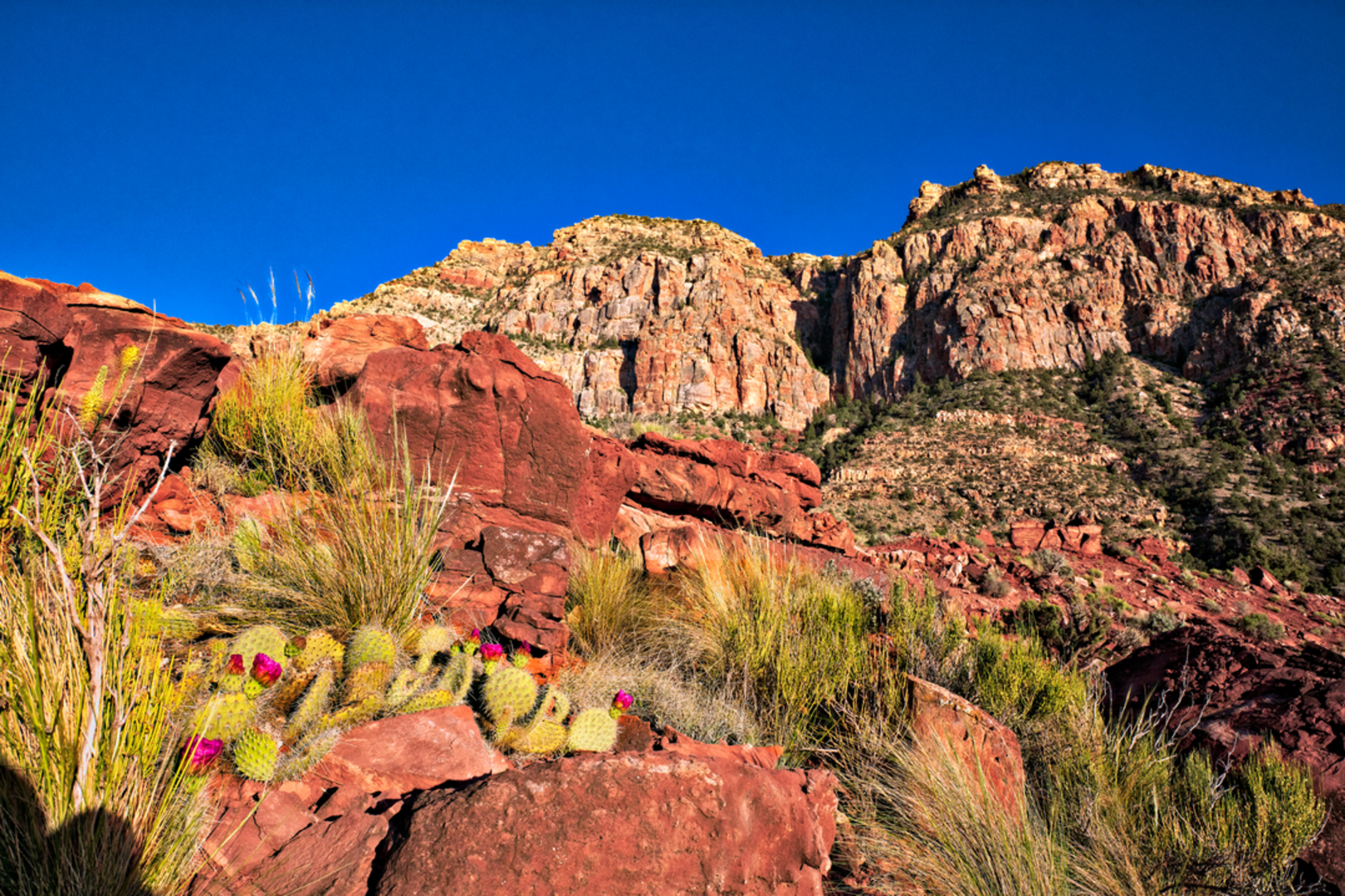
Landmarks and Scenery As hikers make their way down, they will be treated to panoramic views of the Grand Canyon, including the Colorado River, which becomes more prominent as they descend. The trail offers a variety of geological formations, and hikers can observe the changing rock layers that tell the story of the canyon's ancient past.
Wildlife and Nature The Grand Canyon is home to a diverse range of flora and fauna. Hikers may encounter mule deer, bighorn sheep, and a variety of bird species. Caution is advised as the area is also home to rattlesnakes and scorpions. The plant life along the trail includes cacti, wildflowers, and shrubs that have adapted to the arid environment.
Camping and Water Sources For those looking to extend their hike, there are camping opportunities at Tanner Beach, which is near the Colorado River. It is important to note that water sources along the Tanner Trail are scarce, and hikers should carry an ample supply of water, especially during the hotter months.
Navigation Hikers should be well-prepared with a map and compass or a reliable GPS device. The HiiKER app is an excellent tool for navigating the trail, providing detailed maps and trail information that can be accessed offline.
Preparation and Safety Due to the remote nature of the Tanner Trail and the extreme conditions that can occur in the Grand Canyon, it is essential for hikers to be well-prepared. This includes bringing enough water, food, sun protection, and appropriate clothing for changing weather conditions. It is also advisable to check the weather forecast and trail conditions before setting out.
Remember, the Tanner Trail offers a unique and immersive Grand Canyon experience, but it requires careful planning and respect for the natural environment and its challenges.
Comments and Reviews
User comments, reviews and discussions about the Tanner Trail, Arizona.
4.4
average rating out of 5
5 rating(s)

