Download
Preview
Add to list
More
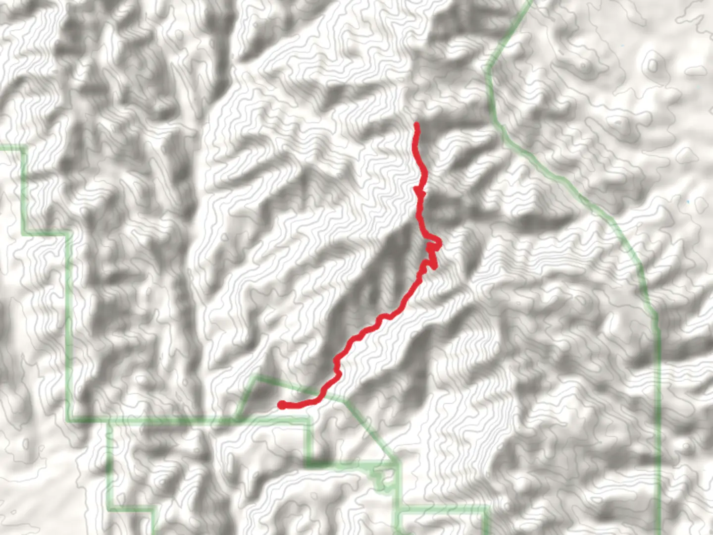
19.0 km
~2 days
1162 m
Multi-Day
“Embark on the Bassett Peak Trail for a historic, wildlife-rich hike with breathtaking Southwestern vistas.”
The Bassett Peak Trail, nestled in the picturesque Galiuro Mountains within Graham County, Arizona, offers hikers a chance to explore the diverse landscapes of the American Southwest. This approximately 19 km (nearly 12 miles) loop trail boasts an elevation gain of around 1100 meters (roughly 3600 feet), presenting a medium difficulty level that is suitable for hikers with some experience.
Getting to the Trailhead
To reach the trailhead, hikers can drive to the Ash Creek Trailhead, which is the starting point for the Bassett Peak Trail. The closest significant landmark is the small town of Willcox, Arizona. From Willcox, take Fort Grant Road north for about 32 km (20 miles), then turn west onto Ash Creek Road. Follow this road for another 16 km (10 miles) to the trailhead. The last portion of the drive is on a dirt road, which can be rough, so a high-clearance vehicle is recommended. There is no direct public transportation to the trailhead, so a personal vehicle or a rental car is necessary.
Navigating the Trail
Once on the trail, hikers will be greeted by a variety of terrains, including dense forests, open meadows, and rocky outcrops. The initial segment of the hike is a gradual ascent through a forested area, where the canopy of trees provides shade and coolness. As you progress, the incline becomes steeper, and the vegetation transitions to high desert flora, including yucca, agave, and cacti.
The trail is well-marked, but carrying a reliable navigation tool like HiiKER is advisable to ensure you stay on the correct path, especially at junctions where other trails intersect. The app can also help you locate points of interest along the way.
Landmarks and Scenery
One of the highlights of the Bassett Peak Trail is the panoramic view from the summit of Bassett Peak, which is the highest point in the Galiuro Mountains. On a clear day, hikers can enjoy breathtaking vistas that extend for miles. The ascent to the peak is the most challenging part of the hike, with switchbacks and steeper grades, but the reward at the top is well worth the effort.
Another notable feature is the vibrant display of autumn colors if you hike in the fall. The area is known for its exceptional foliage, with the maples and oaks providing a stunning contrast to the evergreen pines.
Wildlife and Flora
The Galiuro Wilderness is home to a diverse array of wildlife. Hikers may encounter deer, javelina, and a variety of bird species, including the elegant trogon. The area is also known for its black bear population, so it's important to be bear-aware, storing food properly and making noise while hiking to avoid surprise encounters.
Historical Significance
The region around the Bassett Peak Trail is steeped in history. The Galiuro Mountains were once the homeland of the Apache, and later became a site of mining and ranching. Evidence of these past activities can sometimes be found along the trail in the form of old mine shafts and ranching equipment.
Preparation and Safety
Before setting out, hikers should be prepared with plenty of water, as sources along the trail are scarce and not always reliable. Additionally, the weather can change rapidly in the mountains, so layered clothing is recommended. It's also wise to inform someone of your hiking plans and expected return time.
With its moderate difficulty, the Bassett Peak Trail offers an engaging experience for those looking to immerse themselves in the natural beauty and history of the American Southwest. Whether you're drawn to the challenge of the ascent, the allure of the wildlife, or the tranquility of the mountain scenery, this trail is a rewarding adventure for any hiker.

Comments and Reviews
User comments, reviews and discussions about the Bassett Peak Trail, Arizona.
4.0
average rating out of 5
2 rating(s)