Download
Preview
Add to list
More
21.8 km
~2 days
1509 m
Multi-Day
Ash Creek Trail
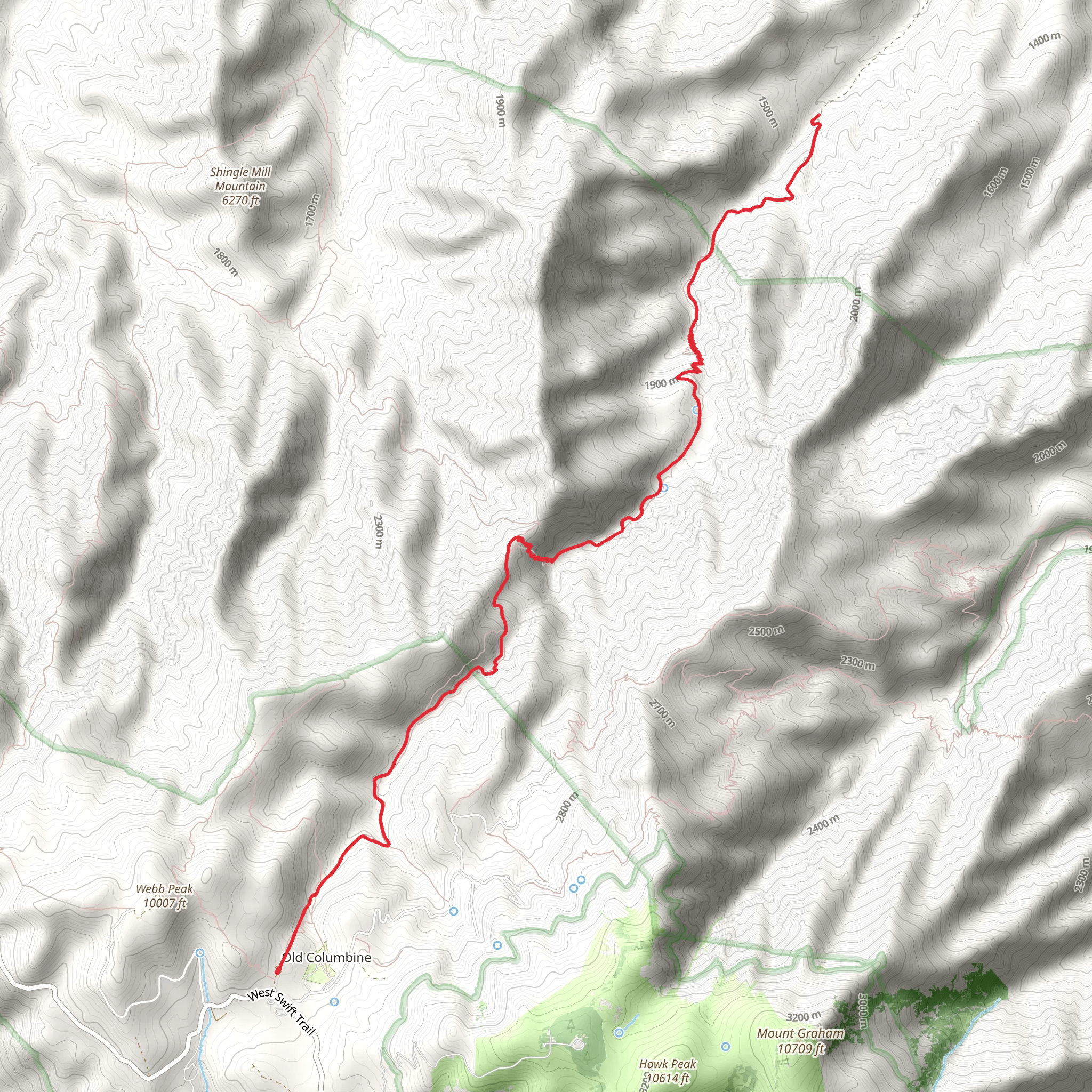
Starting Point and Access The Ash Creek Trail is nestled near Graham County, Arizona, and begins in a relatively remote area. To reach the trailhead, hikers can drive to the vicinity of the Pinaleño Mountains, which is the closest landmark to the starting point. There is no direct public transportation to the trailhead, so access by car is the most feasible option. From the nearest town of Safford, take Highway 191 south to State Route 366, also known as Swift Trail Parkway. Follow this scenic route up into the mountains until you reach the signed trailhead parking area.
Trail Overview The Ash Creek Trail offers a moderately challenging hike with an out-and-back route that spans approximately 22 kilometers (about 13.7 miles) with an elevation gain of around 1500 meters (nearly 4921 feet). The trail is well-known for its diverse ecosystems, ranging from desert scrub at lower elevations to dense forests higher up.
Ecosystems and Wildlife As you begin your hike, the lower elevations are characterized by arid desert conditions, where you'll see a variety of cacti and shrubs. As you ascend, the vegetation transitions to chaparral and then to pine-oak woodlands. The highest sections of the trail are lush with mixed conifer forests, offering a cool respite from the heat of the lower elevations.
Keep an eye out for the diverse wildlife in the area, including deer, black bears, and a variety of bird species. Birdwatchers may be particularly interested in the higher elevations, where Mexican spotted owls and other raptors have been sighted.
Landmarks and Points of Interest One of the significant landmarks along the Ash Creek Trail is the Ash Creek Waterfall, which is especially impressive during the spring melt or after heavy rains. The waterfall is located approximately 8 kilometers (5 miles) from the trailhead and serves as a good turnaround point for those seeking a shorter hike.
Historical Significance The region around the Ash Creek Trail is steeped in history, with the Pinaleño Mountains being home to the Apache people for centuries. The area was also the site of military campaigns during the Apache Wars in the late 19th century. Hikers with an interest in history may appreciate the sense of the past that the trail evokes.
Navigation and Preparation Given the trail's length and elevation gain, it's essential to be well-prepared with adequate water, food, and clothing layers. Weather conditions can change rapidly at higher elevations, so be ready for cooler temperatures and possible precipitation.
For navigation, hikers should consider using the HiiKER app, which provides detailed maps and GPS tracking to help keep you on the right path. It's also a good idea to download the trail map on HiiKER before setting out, as cell service can be spotty in the mountains.
Conclusion The Ash Creek Trail is a rewarding hike that offers a variety of landscapes, wildlife viewing opportunities, and a glimpse into the area's rich history. With proper preparation and navigation tools like HiiKER, hikers can enjoy a memorable experience in the heart of Arizona's wilderness.
Comments and Reviews
User comments, reviews and discussions about the Ash Creek Trail, Arizona.
4.67
average rating out of 5
3 rating(s)

