Download
Preview
Add to list
More
16.0 km
~2 days
1019 m
Multi-Day
Humphreys Peak Trail
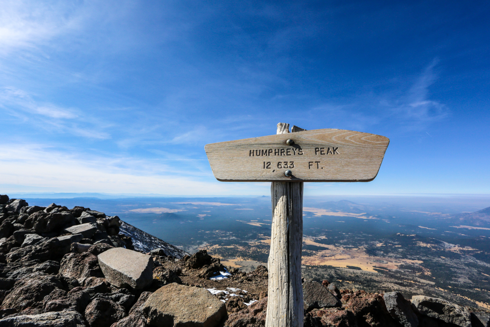
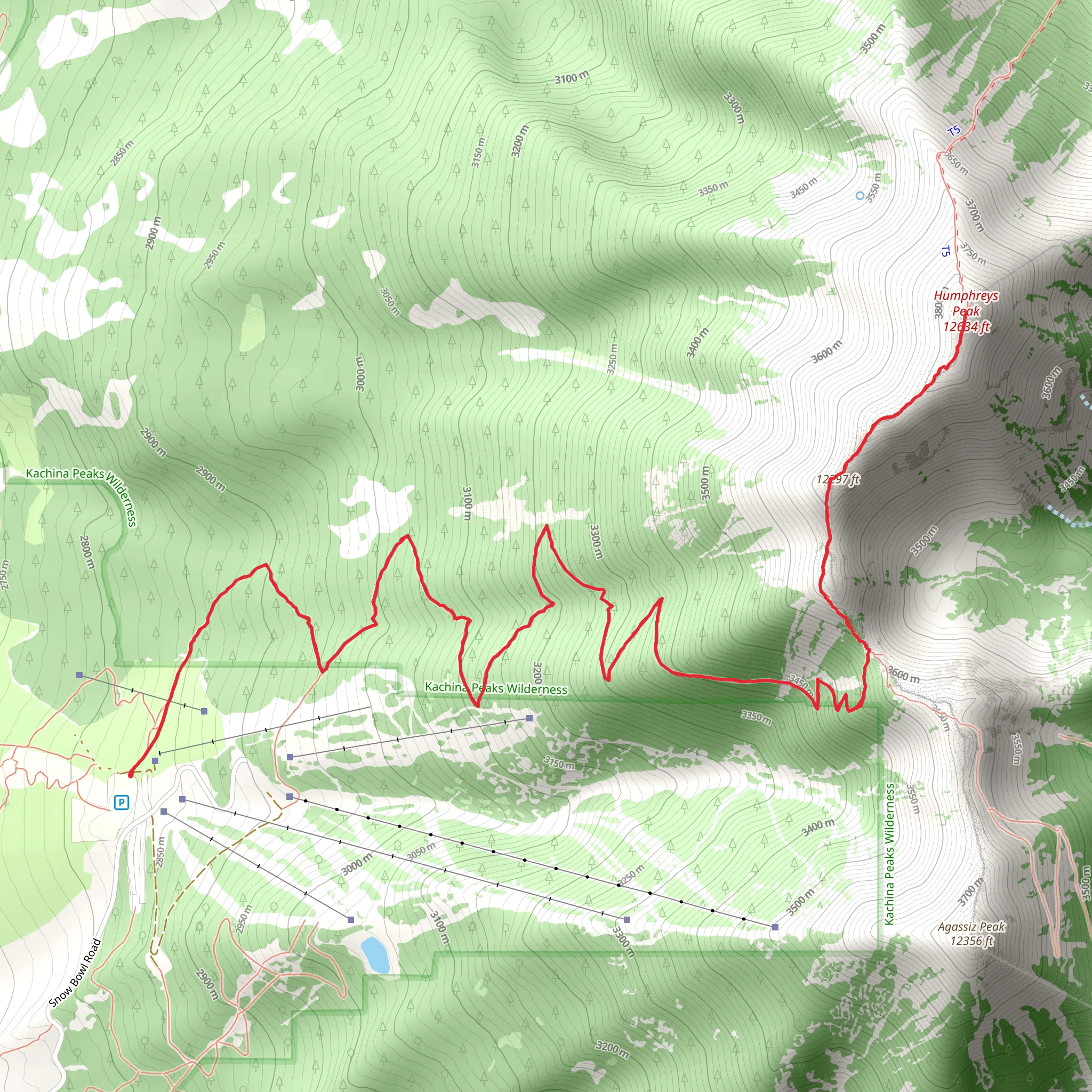
Humphreys Peak Trail offers a challenging yet rewarding hike to the highest point in Arizona, standing at 12,633 feet (3,851 meters). The trail is approximately 10 miles (16 km) long and features an elevation gain of around 3,300 feet (1,006 meters), making it a strenuous trek suited for those with a good level of fitness.
Getting to the Trailhead
The trailhead is located near Fort Valley, just north of Flagstaff. To reach the starting point by car, take Highway 180 to Snowbowl Road and follow it to the parking area at the Arizona Snowbowl resort. Public transportation options are limited, so driving is the most feasible way to access the trailhead.
Navigating the Trail
Hikers can utilize the HiiKER app to navigate the trail, ensuring they stay on the correct path. The trail begins at the north end of the parking lot, marked by a sign for the Kachina Peaks Wilderness.
Ascent to the Saddle
The initial section of the Humphreys Peak Trail winds through a beautiful forest of aspen and pine, offering shade and a gentle start to the hike. After about 1.5 miles (2.4 km), the trail begins to steepen as it approaches the treeline. The path becomes rockier, and the vegetation thins out, providing expansive views of the surrounding landscape.
The Saddle to the Summit
Reaching the saddle, approximately 3 miles (4.8 km) from the trailhead, hikers are greeted with a view of the inner basin of the extinct volcano. From here, the trail becomes more challenging, with switchbacks leading up the ridgeline. The final push to the summit is the most strenuous, with high winds and thin air due to the elevation.
At the summit, hikers can enjoy panoramic views of the Grand Canyon to the north and the Painted Desert to the east. The peak itself is a part of the San Francisco Peaks, which are sacred to several Native American tribes and hold significant historical importance.
Descent
The return journey follows the same route back to the trailhead. Descending can be tough on the knees, and the loose gravel requires careful footing.
Wildlife and Nature
The area is home to a variety of wildlife, including elk, deer, and a range of bird species. Hikers should be aware of their surroundings and keep a respectful distance from any animals encountered.
Weather and Safety
Weather conditions can change rapidly, and it's not uncommon for snow to be present at higher elevations, even in late spring or early fall. Hikers should check the weather forecast, dress in layers, and carry plenty of water, as well as a map and compass or a GPS device with the HiiKER app downloaded for navigation.
Preparation
Due to the trail's difficulty and elevation gain, it's essential to be well-prepared with appropriate hiking boots, trekking poles, and sufficient food and water. Acclimatization to the altitude is also recommended before attempting the hike.
Remember, while the Humphreys Peak Trail offers an incredible experience, it's important to hike responsibly and practice Leave No Trace principles to preserve the beauty and integrity of the area for future visitors.
Comments and Reviews
User comments, reviews and discussions about the Humphreys Peak Trail, Arizona.
4.0
average rating out of 5
2 rating(s)

