Download
Preview
Add to list
More
39.0 km
~2 day
2002 m
Out and Back
“Embark on a rewarding 39-kilometer journey through Arizona's rugged beauty to the sacred Rainbow Bridge.”
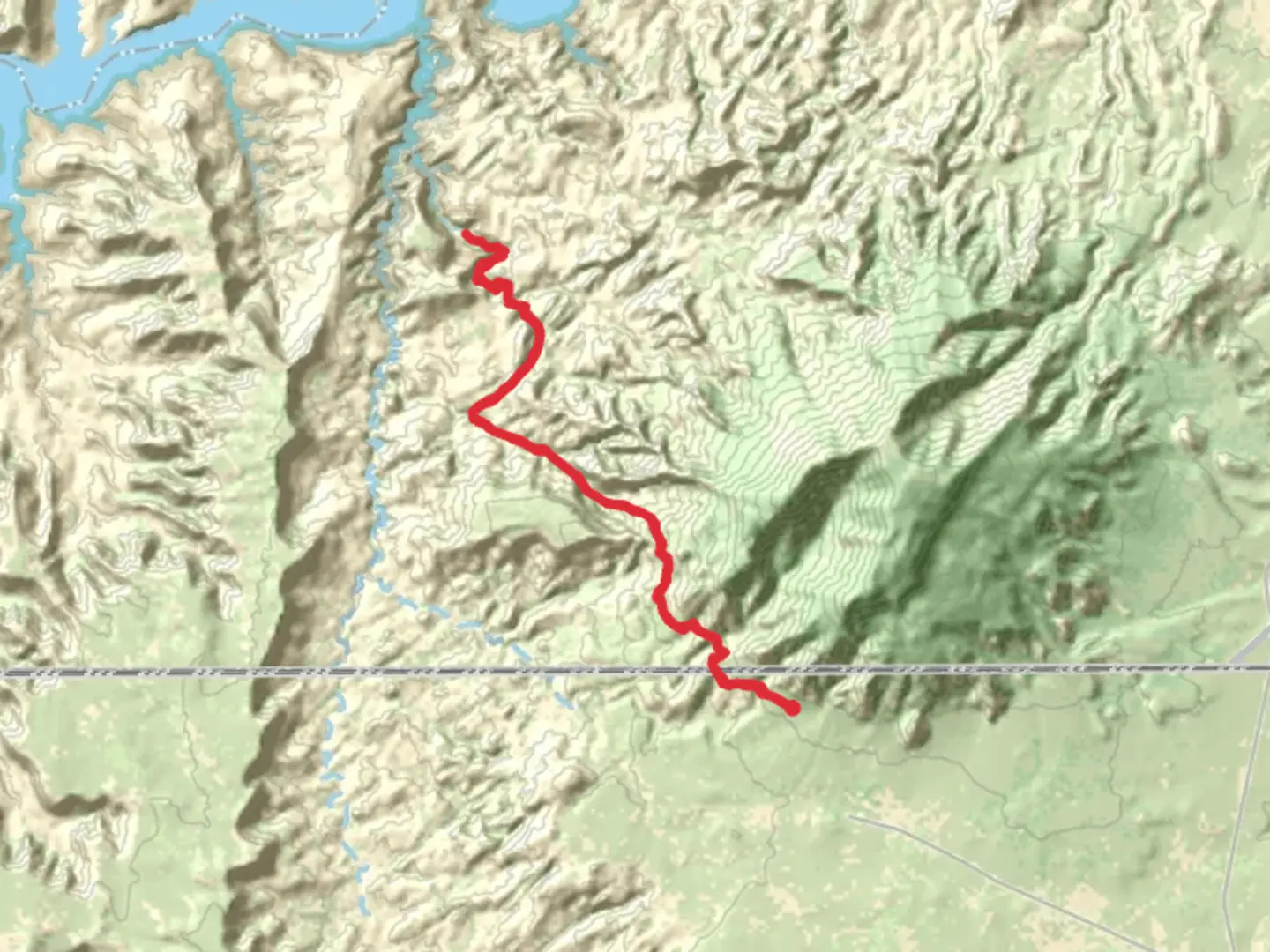
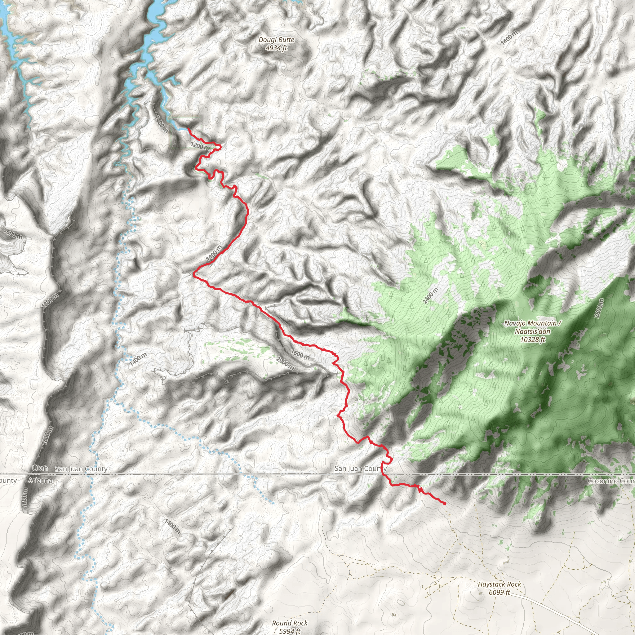
Starting your journey near Coconino County, Arizona, the trail to Rainbow Bridge National Monument is an out-and-back adventure spanning approximately 39 kilometers (24 miles) with an elevation gain of around 2000 meters (6562 feet). This medium-difficulty trail offers a blend of natural beauty, historical significance, and a challenging yet rewarding hike.
Getting There To reach the trailhead, you can drive or use public transportation. If driving, head towards the nearest significant landmark, the town of Page, Arizona. From Page, follow the directions to the Navajo Mountain Trading Post, which is the closest known address to the trailhead. Public transportation options are limited, so renting a car from Page is advisable.
Trail Overview The trail begins with a gradual ascent, allowing you to acclimate to the elevation gain. As you progress, the terrain becomes more rugged, with steep inclines and rocky paths. The first significant landmark you'll encounter is the Navajo Mountain, a sacred site for the Navajo people. This mountain stands as a sentinel, guiding you towards the Rainbow Bridge.
Flora and Fauna The trail is rich in diverse plant life, including juniper, pinyon pine, and various desert shrubs. Wildlife is abundant; keep an eye out for mule deer, coyotes, and a variety of bird species such as golden eagles and peregrine falcons. The area is also home to smaller creatures like lizards and snakes, so watch your step.
Historical Significance Rainbow Bridge itself is one of the world's largest natural bridges and holds deep cultural significance for the Navajo people. It is considered a sacred site, and visitors are encouraged to approach with respect. The bridge was first documented by non-Native explorers in the early 20th century, but it has been known to indigenous peoples for centuries.
Navigation and Safety Given the trail's remote location and challenging terrain, it's crucial to have reliable navigation tools. HiiKER is an excellent resource for detailed maps and real-time updates. Ensure you have downloaded the trail map before setting out, as cell service can be unreliable.
Key Points of Interest - **Navajo Mountain**: Approximately 10 kilometers (6.2 miles) into the hike, with an elevation gain of about 500 meters (1640 feet). - **Bridge Canyon**: Around 20 kilometers (12.4 miles) in, offering stunning views and a good spot for a rest. - **Rainbow Bridge**: The final destination, located at the 19.5-kilometer (12.1-mile) mark, with an elevation gain of 2000 meters (6562 feet) from the start.
Preparation Tips - **Water and Food**: Carry sufficient water and high-energy snacks. There are no water sources along the trail. - **Clothing**: Wear layers to adapt to changing weather conditions. A hat and sunscreen are essential. - **Footwear**: Sturdy hiking boots with good ankle support are recommended due to the rocky terrain.
Wildlife and Environmental Considerations Respect the natural habitat by staying on the trail and packing out all trash. Be mindful of the local wildlife and maintain a safe distance. The area is also prone to sudden weather changes, so be prepared for rain or extreme heat.
This trail offers a unique blend of natural beauty, cultural history, and physical challenge, making it a must-visit for any avid hiker.
What to expect?
Activity types
Comments and Reviews
User comments, reviews and discussions about the Rainbow Bridge national Monument, Arizona.
4.36
average rating out of 5
11 rating(s)
