Download
Preview
Add to list
More
26.1 km
~2 days
1564 m
Multi-Day
“Trek through the Grand Canyon's heart on a storied and scenic 16-mile journey demanding preparation and stamina.”
Embarking on the Grandview Trail to New Hance Trail, hikers will traverse approximately 26 kilometers (about 16 miles) of rugged terrain within the Grand Canyon National Park. This point-to-point journey begins near Coconino County, Arizona, and boasts an elevation gain of around 1500 meters (roughly 4900 feet), presenting a medium difficulty rating that requires good physical condition and preparation.
Getting to the Trailhead
The trailhead is accessible by car, located off the Desert View Drive, also known as East Rim Drive. If you're coming from Grand Canyon Village, it's about a 12 km (7.5 miles) drive east to the Grandview Point turnoff. There is a parking area where you can leave your vehicle before starting the hike. Public transportation options are limited, so driving or arranging a shuttle service is recommended.
The Journey Begins
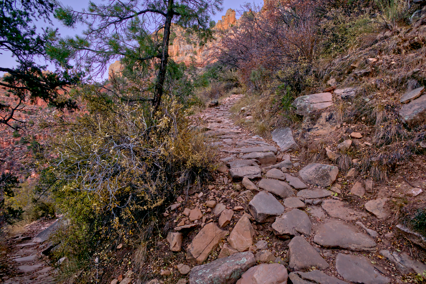
Starting from the Grandview Point, the trail descends steeply through the Coconino sandstone and into the canyon, offering breathtaking panoramic views. The initial descent is quite challenging, with a series of tight switchbacks and some exposure to heights. Hikers should be cautious, as the path can be slippery due to loose rocks and gravel.
Historical Significance
As you navigate the trail, you're following in the footsteps of miners from the late 1800s. The Grandview Trail was originally developed to reach the Last Chance copper mine. Remnants of the mining era, including old structures and rusted equipment, can still be seen, providing a glimpse into the past.
Landmarks and Natural Features
After descending the initial switchbacks, the trail levels out somewhat as it crosses Horseshoe Mesa. This flat stretch allows for a brief respite before the descent continues. The mesa itself offers historic sites, including old mine entrances and the remnants of miners' cabins.
Continuing the descent, the trail becomes less defined and more rugged. Hikers will need to navigate through the Tonto Group rock formations, which can be challenging and require careful attention to the cairns marking the way. The use of a navigation tool like HiiKER is highly recommended to stay on track.
Wildlife and Vegetation
The diverse ecosystems of the Grand Canyon are on full display along the trail. Keep an eye out for mule deer, bighorn sheep, and a variety of bird species. The plant life is equally varied, with cacti, wildflowers, and shrubs that change with the elevation.
The Final Stretch
As you approach the New Hance Trail, the path becomes steeper and more strenuous. This section is known for its redwall limestone cliffs and requires careful navigation through a series of switchbacks. The New Hance Trail is considered one of the more difficult routes within the Grand Canyon due to its steep, rocky, and often poorly defined path.
Preparation and Safety
Due to the trail's difficulty and remote nature, it is essential to be well-prepared with adequate water, food, and gear. The weather can change rapidly, so layered clothing is advisable. It's also important to inform someone of your hiking plans and expected return time.
Conclusion
The Grandview Trail to New Hance Trail offers an immersive experience into the heart of the Grand Canyon, with historical artifacts, stunning geological formations, and a variety of flora and fauna. It's a challenging hike that rewards the prepared adventurer with unforgettable views and a sense of accomplishment.

What to expect?
Activity types
Comments and Reviews
User comments, reviews and discussions about the Grandview Trail to New Hance Trail, Arizona.
4.67
average rating out of 5
3 rating(s)