Download
Preview
Add to list
More
8.9 km
~2 hrs 11 min
241 m
Point-to-Point
“Embark on a serene hike through the historic, wildlife-rich Mount Baldy Trail, adorned with forest canopies and alpine meadows.”
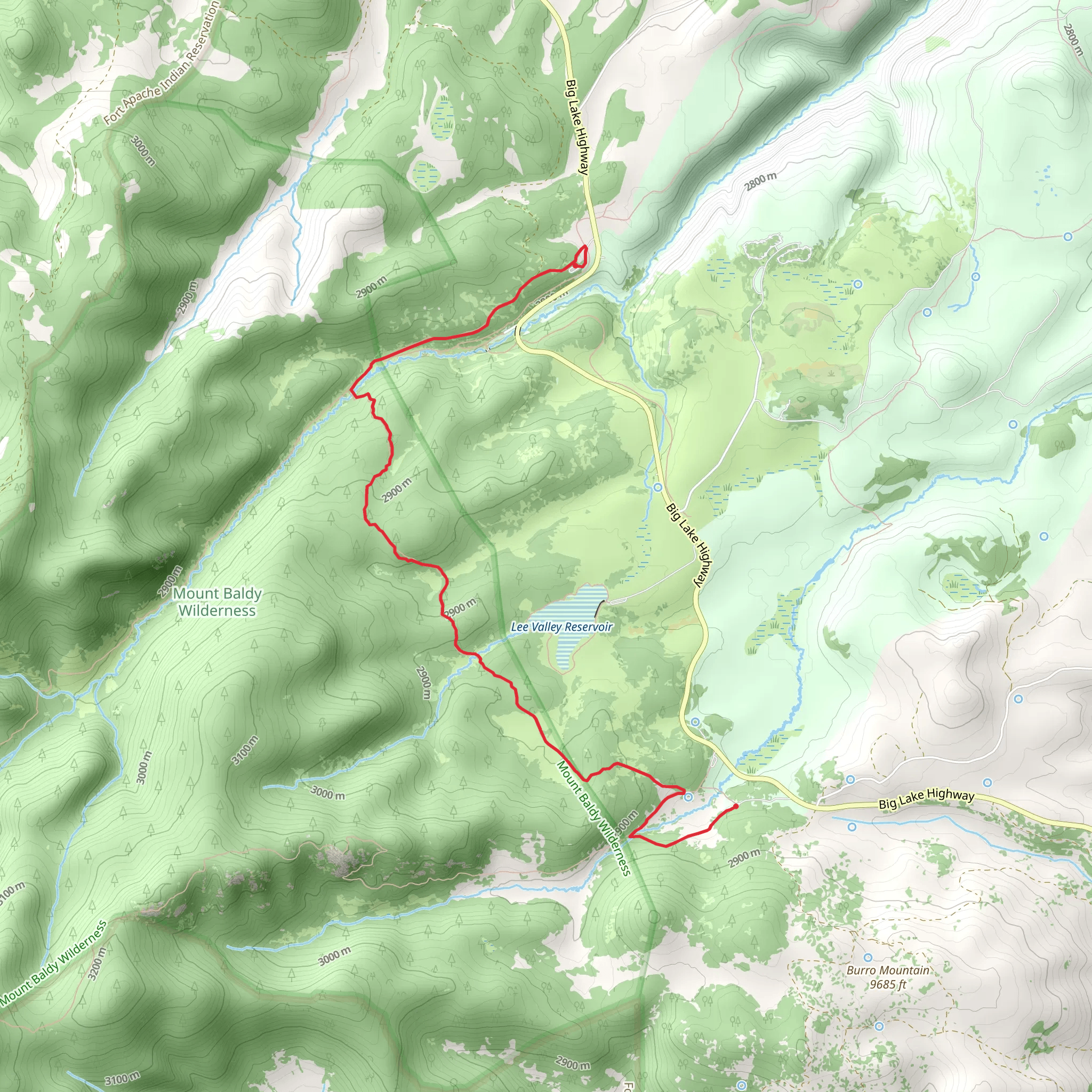
The Mount Baldy Trail via West Baldy Trail is a scenic and moderately challenging hike located near Apache County, Arizona. This point-to-point trail stretches approximately 9 kilometers (about 5.6 miles) and features an elevation gain of around 200 meters (approximately 656 feet), offering hikers a rewarding experience with stunning views and diverse ecosystems.
Getting to the Trailhead To reach the trailhead, you can drive to the parking area located near the Sheep Crossing area off AZ-273 (also known as the Big Lake Highway). The trailhead is situated a short distance from the parking lot, which is easily accessible by car. Public transportation options are limited in this remote area, so driving is the most feasible option for most hikers.
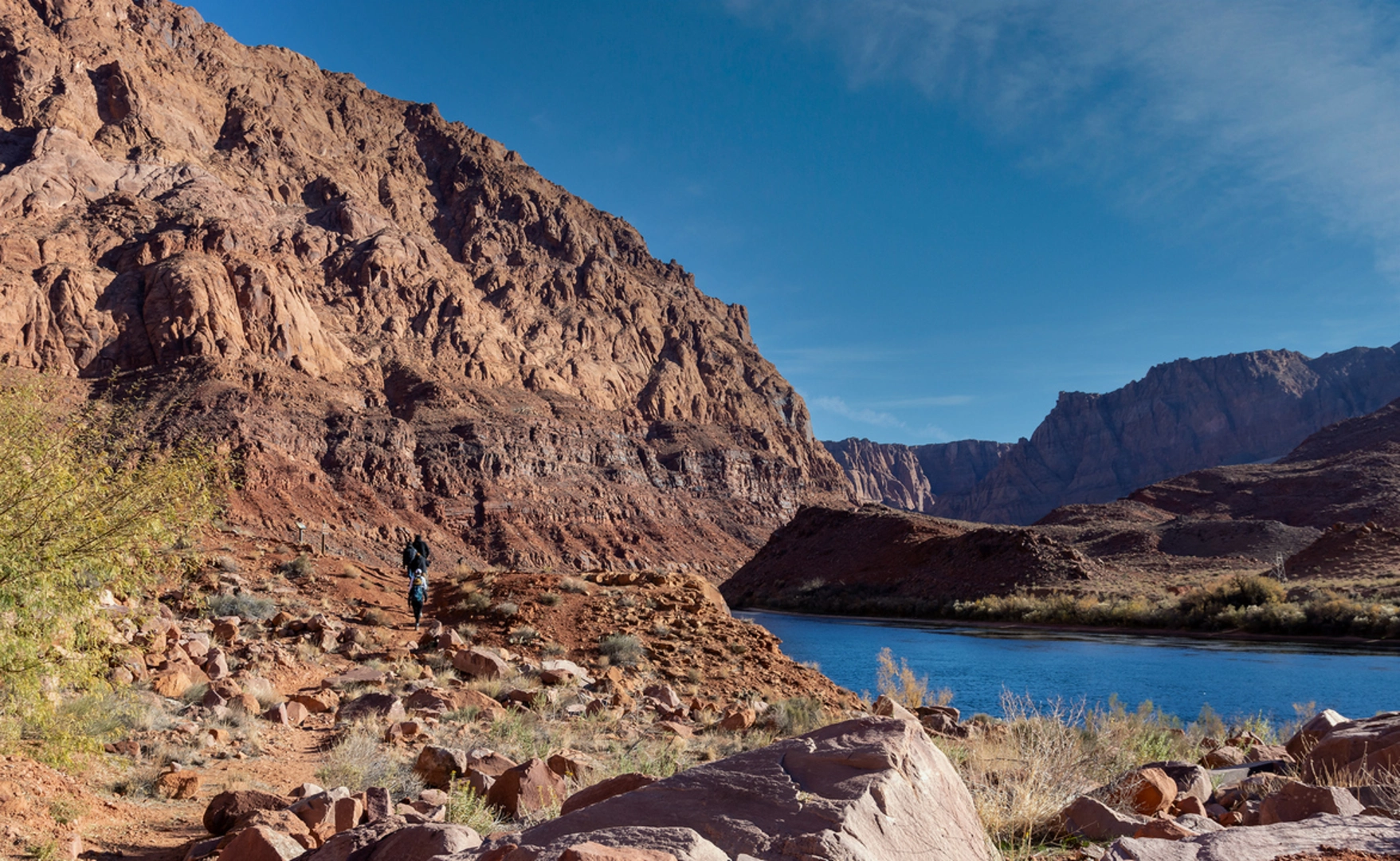
The Hike As you embark on the Mount Baldy Trail, you'll be greeted by a dense forest of pine, fir, and spruce trees, which provide a canopy of shade for the initial segment of the hike. The trail meanders alongside the Little Colorado River, offering the soothing sounds of flowing water as you progress.
Approximately 2 kilometers (1.2 miles) into the hike, you'll encounter a junction where the East and West Baldy Trails split. For this route, you'll continue on the West Baldy Trail, which will lead you through a series of meadows that burst with wildflowers in the spring and summer months.
Historical Significance The Mount Baldy area is rich in history and cultural significance. It is considered a sacred site by the Apache tribe, and the summit of Mount Baldy itself is off-limits to hikers as it is on tribal land. As you hike, you'll be walking through a landscape that has been revered and protected for generations.
Flora and Fauna The diverse habitats along the trail support a variety of wildlife. Keep an eye out for elk, deer, and if you're lucky, you might spot a black bear or a reclusive mountain lion from a safe distance. Birdwatchers will appreciate the opportunity to see a range of species, including the Mexican spotted owl and the American dipper.
Navigating the Trail The trail is well-marked, but it's always wise to carry a reliable navigation tool. HiiKER is an excellent resource for trail maps and can help ensure you stay on the right path. Remember to download the map for offline use, as cell service can be spotty in remote areas like this.
Elevation and Terrain As you approach the latter half of the hike, the trail begins to ascend more steeply, and the terrain becomes rockier. The elevation gain is gradual but noticeable, and the thinning air at higher altitudes may make the climb feel more strenuous.
Preparing for Your Hike Due to the trail's moderate difficulty rating, it's important to prepare adequately. Bring plenty of water, snacks, and layers of clothing to adapt to changing weather conditions. Also, consider starting your hike early in the day to avoid afternoon thunderstorms that are common in the mountains.
Remember to practice Leave No Trace principles, respecting the natural environment and the historical significance of the area. By doing so, you'll help preserve the beauty and integrity of the Mount Baldy Trail for future generations of hikers to enjoy.
Comments and Reviews
User comments, reviews and discussions about the Mount Baldy Trail via West Baldy Trail, Arizona.
4.33
average rating out of 5
3 rating(s)

