Download
Preview
Add to list
More
18.9 km
~1 day 1 hrs
1645 m
Out and Back
“The Silvis Lake Trail offers a challenging 19-km hike through lush forests, waterfalls, and stunning lake views.”
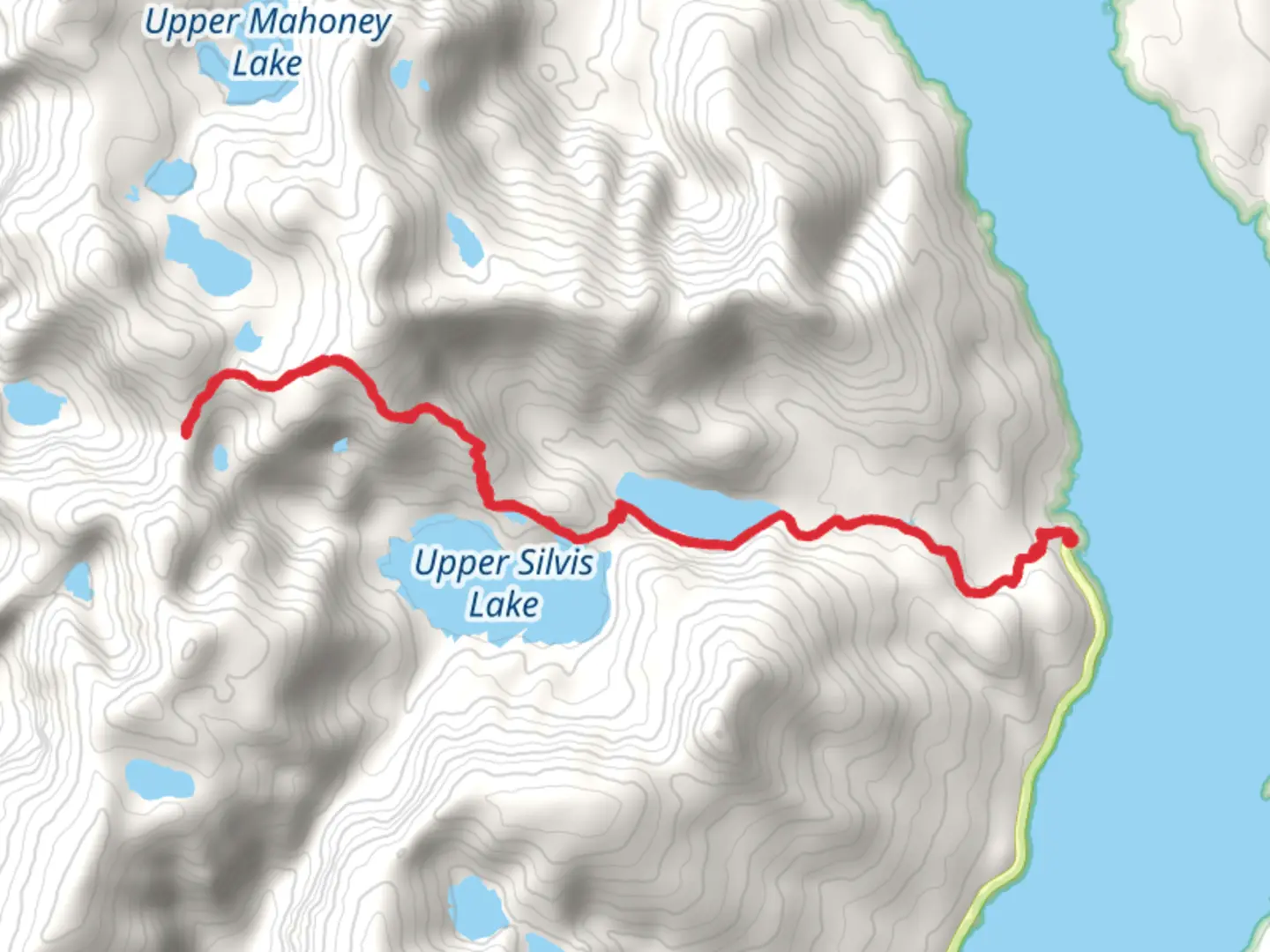
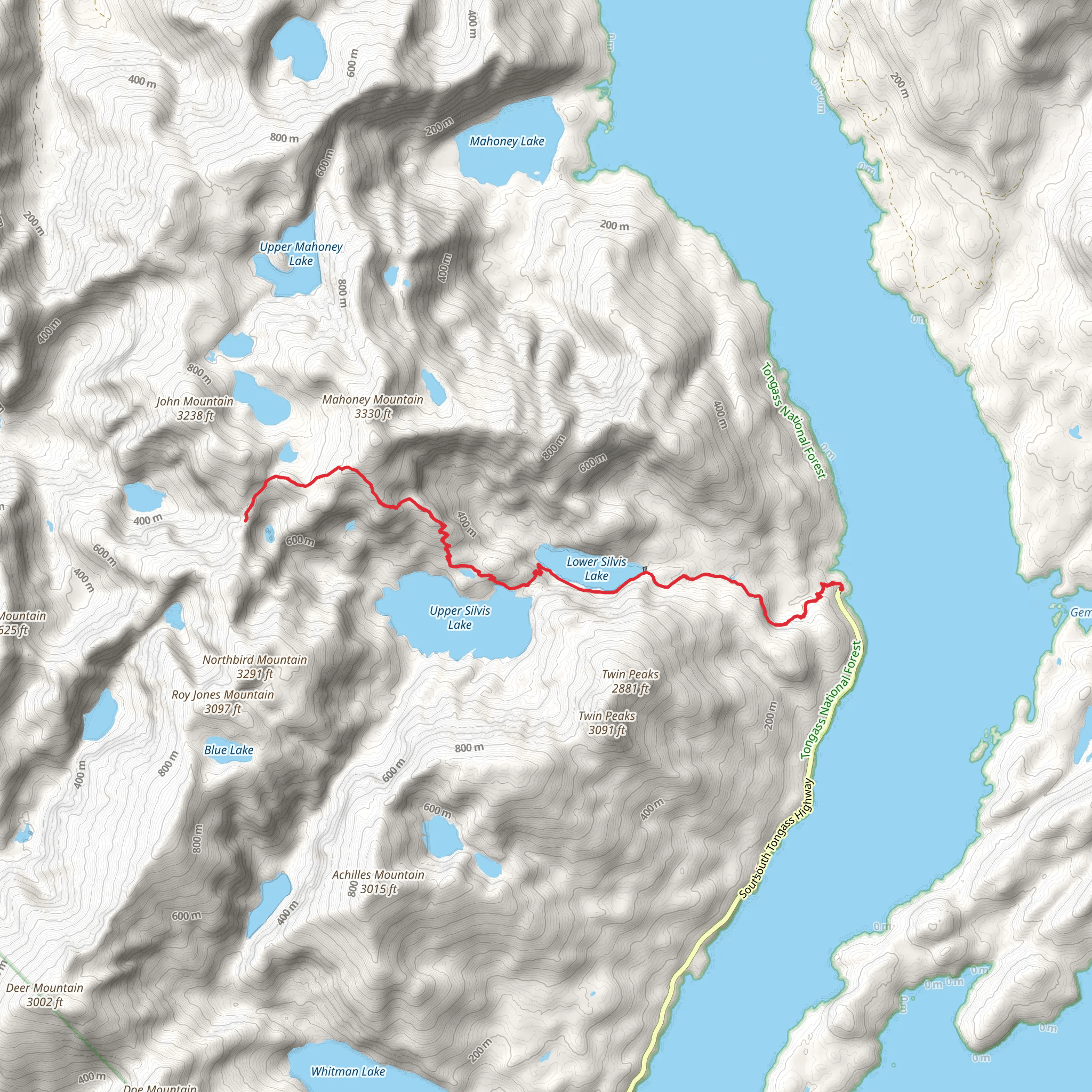
Starting near Ketchikan Gateway, Alaska, the Silvis Lake Trail is an out-and-back trail that spans approximately 19 kilometers (around 12 miles) with an elevation gain of about 1600 meters (5250 feet). This trail is considered to be of medium difficulty, making it suitable for hikers with some experience.
Getting There To reach the trailhead, you can drive or use public transportation. If driving, head towards the Ketchikan Gateway Borough, and the nearest significant landmark is the Ketchikan International Airport. From there, follow the Tongass Highway and turn onto North Tongass Highway, continuing until you reach the trailhead. For those using public transport, local bus services from Ketchikan can drop you off near the starting point, but be sure to check the latest schedules and routes.
Trail Overview The trail begins with a gradual ascent through lush temperate rainforest, characterized by towering Sitka spruce and western hemlock trees. The first few kilometers (miles) are relatively gentle, allowing you to acclimate to the terrain. As you progress, the trail becomes steeper, and the elevation gain becomes more noticeable.
Significant Landmarks and Points of Interest - **Silvis Lake**: Around the halfway mark, approximately 9.5 kilometers (6 miles) in, you will reach Silvis Lake. This serene body of water is a perfect spot for a break, offering stunning reflections of the surrounding forest and mountains. The lake is also a popular spot for fishing, so you might see anglers trying their luck. - **Waterfalls**: Along the trail, you will encounter several small waterfalls, especially during the wetter months. These natural features add to the trail's charm and provide excellent photo opportunities. - **Wildlife**: The area is rich in wildlife, including black bears, Sitka black-tailed deer, and a variety of bird species. Keep an eye out for bald eagles soaring above and listen for the calls of songbirds in the trees.
Historical Significance The region around Ketchikan has a rich history, deeply rooted in the indigenous Tlingit culture. The trail itself passes through areas that were historically used by the Tlingit people for hunting and gathering. As you hike, you may notice traditional totem poles and other cultural markers that highlight the significance of the land.
Navigation and Safety Given the trail's moderate difficulty, it's essential to be well-prepared. Use the HiiKER app for accurate navigation and real-time updates on trail conditions. The weather in this region can be unpredictable, so pack accordingly with layers, waterproof gear, and sufficient food and water. Always let someone know your hiking plans and expected return time.
Final Ascent The final stretch of the trail involves a steeper climb, leading to panoramic views of the surrounding mountains and valleys. This part of the hike can be challenging, but the vistas at the top are well worth the effort. The total elevation gain of 1600 meters (5250 feet) will test your endurance, but the sense of accomplishment and the breathtaking scenery make it a rewarding experience.
Remember to respect the natural environment and follow Leave No Trace principles to preserve the beauty of the Silvis Lake Trail for future hikers.
What to expect?
Activity types
Comments and Reviews
User comments, reviews and discussions about the Silvis Lake Trail, Alaska.
4.52
average rating out of 5
75 rating(s)
