Download
Preview
Add to list
More
33.9 km
~2 days
374 m
Multi-Day
“Embark on the Sipsey Wilderness Loop for a historic, moderate trek through Alabama's captivating forested cascades.”
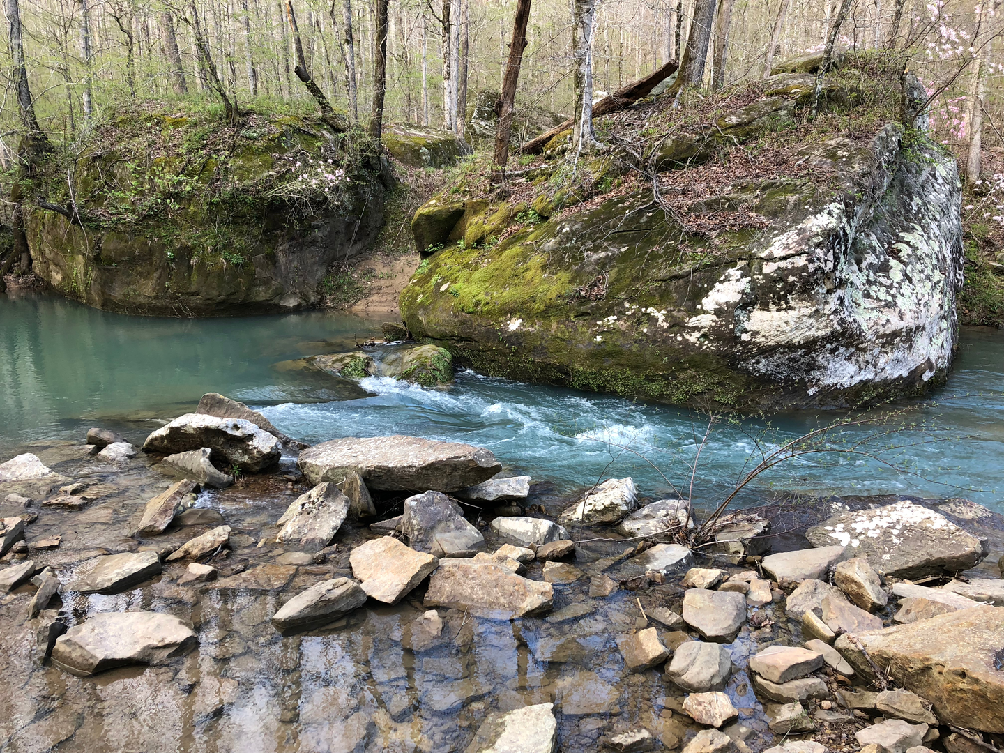
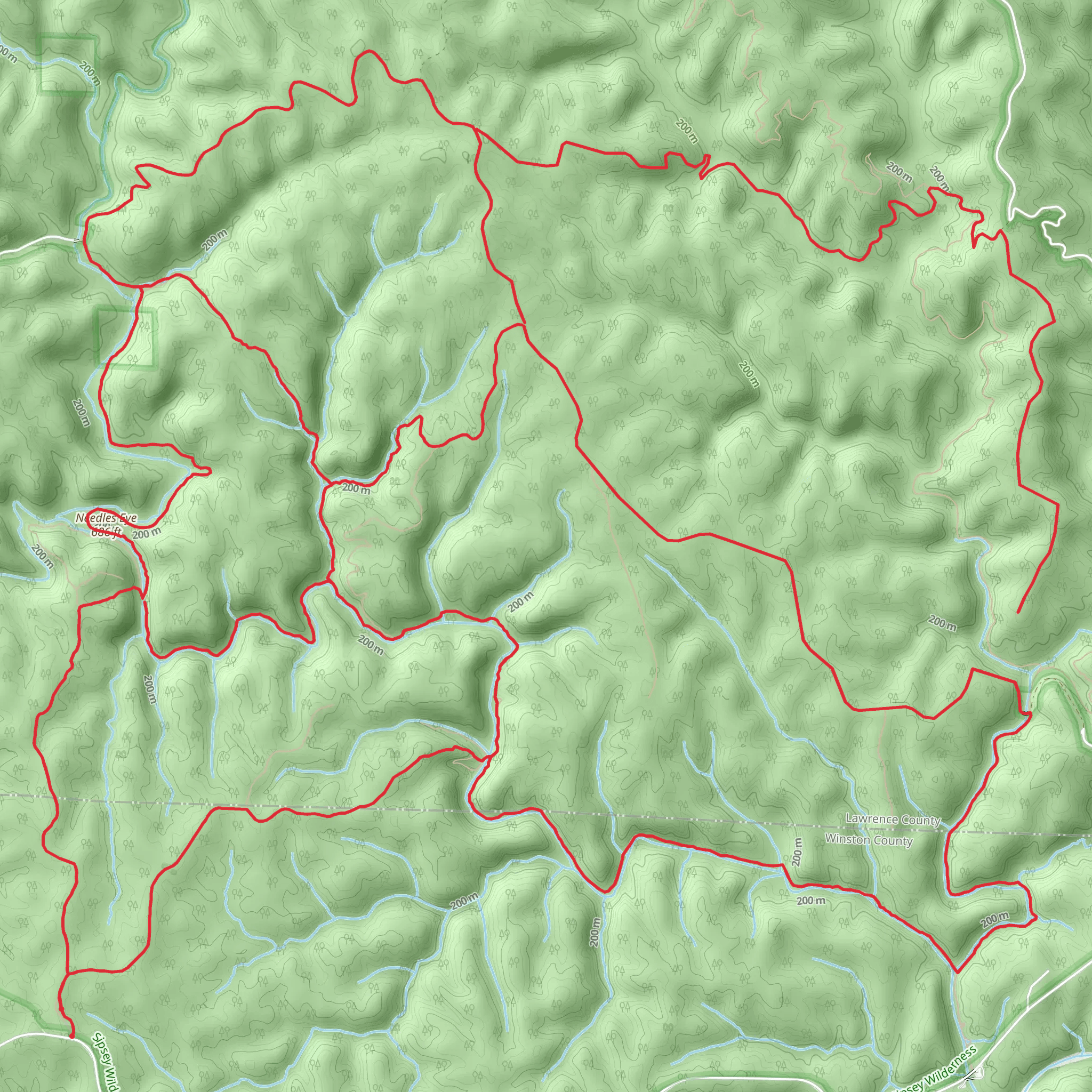
The Sipsey Wilderness Loop, nestled in the William B. Bankhead National Forest of Alabama, offers a moderately challenging trek through one of the most scenic and historically rich areas of the Southeastern United States. Spanning approximately 34 kilometers (about 21 miles) with an elevation gain of around 300 meters (roughly 980 feet), this loop takes hikers through a diverse landscape of lush forests, waterfalls, and sandstone cliffs.### Getting to the TrailheadTo reach the trailhead, located near Winston County, Alabama, hikers can drive to the Sipsey Recreation Area parking lot, which serves as a common starting point for the loop. The nearest significant landmark is the Sipsey River Picnic Area and Trailhead on Cranal Road (County Road 60). There is no direct public transportation to the trailhead, so a personal vehicle or a taxi service from the nearest town is necessary.### The Hike ItselfThe Sipsey Wilderness Loop is a point-to-point trail, meaning it does not return you to your starting point, so planning for transportation back to the trailhead is essential. Hikers can use the HiiKER app to navigate the trail and keep track of their progress.As you embark on the trail, you'll be greeted by towering trees and the gentle sounds of the Sipsey Fork, the only Wild and Scenic River in Alabama. The trail is well-marked, but due to the numerous intersecting paths within the wilderness area, paying close attention to trail signs and markers is crucial.### Landmarks and Natural FeaturesOne of the first significant landmarks you'll encounter is the Borden Creek Bridge, about 3 kilometers (2 miles) from the trailhead. This area is known for its picturesque creek crossings and the opportunity to spot various wildlife, including white-tailed deer and numerous bird species.Continuing on, the trail meanders through the heart of the Sipsey Wilderness, showcasing the region's unique flora, including wildflowers and ferns that thrive in the humid climate. Approximately 10 kilometers (6 miles) in, hikers will find themselves at the base of the Sipsey's famous waterfalls, such as Feather Hawk Falls, where the water cascades over ancient moss-covered rocks.### Historical SignificanceThe Sipsey Wilderness is steeped in history, with evidence of Native American habitation dating back thousands of years. As you hike, you may come across old homesteads, logging roads, and other remnants of the area's past human activity. The land tells a story of resilience and conservation, having been logged extensively in the early 20th century before being designated as a wilderness area in 1975.### Preparing for the HikeBefore setting out, ensure you have enough water, as sources along the trail may not always be reliable or safe to drink from without treatment. The weather can be unpredictable, so pack layers and rain gear. The trail can be completed in a single long day by a fit hiker, but many choose to camp along the route and enjoy the wilderness over a couple of days. Campsites are not designated, so practice Leave No Trace principles and camp at least 60 meters (200 feet) from water sources.### Wildlife and SafetyThe Sipsey Wilderness is home to a variety of wildlife, including snakes, so be vigilant and give animals their space. The trail can be rocky and slippery, especially after rain, so sturdy hiking boots are recommended.### ConclusionBy preparing adequately and respecting the natural and historical significance of the Sipsey Wilderness, hikers can enjoy a memorable experience on the Sipsey Wilderness Loop, immersed in the beauty and tranquility of Alabama's enchanting forests.
What to expect?
Activity types
Comments and Reviews
User comments, reviews and discussions about the Sipsey Wilderness Loop, Alabama.
4.45
average rating out of 5
20 rating(s)

