Download
Preview
Add to list
More
Trail length
18.8 km
Time
~4 hrs 35 min
Elevation Gain
502 m
Hike Type
Out and Back
“Explore the scenic Desoto Scout Trail, a 19 km hike with waterfalls, canyon views, and rich history.”
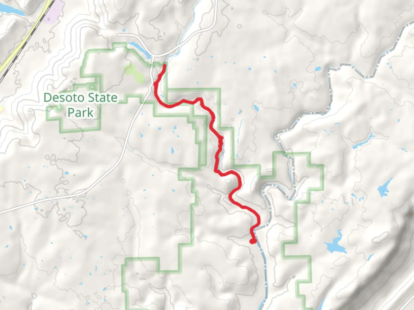
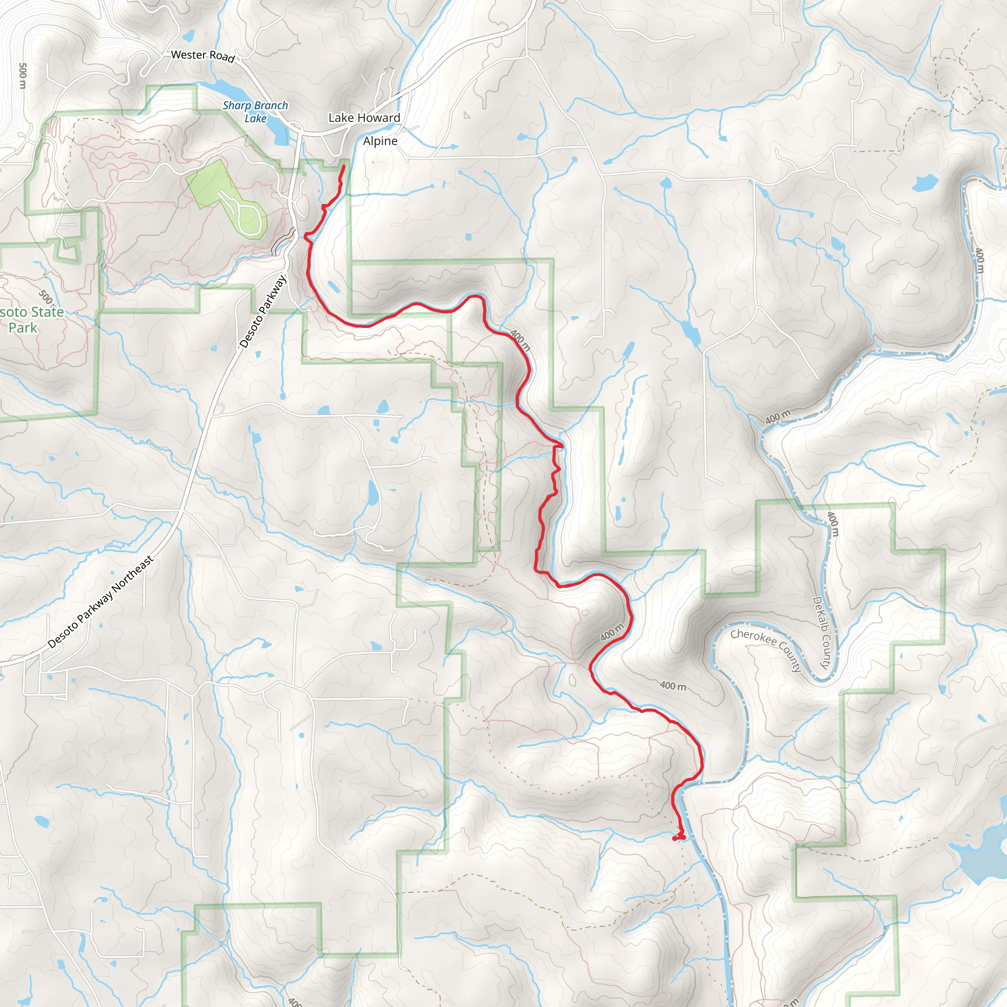
Starting near DeKalb County, Alabama, the Desoto Scout Trail is an approximately 19 km (around 12 miles) out-and-back trail with an elevation gain of about 500 meters (1,640 feet). This trail is rated as medium difficulty, making it suitable for moderately experienced hikers.
Getting There To reach the trailhead, you can drive to DeSoto State Park, located near Fort Payne, Alabama. If you're using public transport, the nearest significant landmark is Fort Payne, which is accessible by bus. From Fort Payne, you can take a taxi or rideshare service to DeSoto State Park.
Trail Overview The Desoto Scout Trail meanders through the scenic landscapes of DeSoto State Park and Little River Canyon National Preserve. The trail offers a mix of rugged terrain, dense forests, and stunning river views.
Key Sections and Landmarks - **DeSoto Falls (0.5 km / 0.3 miles in)**: One of the first major landmarks you'll encounter is DeSoto Falls, a 104-foot waterfall that cascades into a picturesque pool. This is a great spot for a quick rest and some photos. - **Laurel Falls (3 km / 1.9 miles in)**: Continuing along the trail, you'll come across Laurel Falls, a smaller but equally beautiful waterfall surrounded by lush vegetation. - **Little River Canyon (6 km / 3.7 miles in)**: As you progress, the trail will lead you to the rim of Little River Canyon, offering breathtaking views of the canyon below. This section involves a steep descent, so be prepared for a challenging climb back up. - **Eberhart Point (9.5 km / 5.9 miles in)**: The turnaround point of the trail is Eberhart Point, a scenic overlook that provides panoramic views of the surrounding landscape. This is an ideal spot for a lunch break before heading back.
Flora and Fauna The trail is rich in biodiversity. You can expect to see a variety of hardwood trees, including oak, hickory, and maple. In spring and summer, the trail is adorned with wildflowers like trillium and mountain laurel. Wildlife sightings may include white-tailed deer, wild turkeys, and various bird species such as red-tailed hawks and pileated woodpeckers.
Historical Significance The region has a rich history, with evidence of Native American habitation dating back thousands of years. The Cherokee Nation once inhabited this area before being forcibly removed during the Trail of Tears in the 1830s. The trail itself was named in honor of the Boy Scouts of America, who have a long history of hiking and camping in the area.
Navigation and Safety Given the trail's moderate difficulty, it's advisable to use a reliable navigation tool like HiiKER to stay on track. The trail is well-marked, but some sections can be tricky, especially near the canyon rim. Always carry a map, plenty of water, and a first-aid kit. Cell phone reception can be spotty, so inform someone of your plans before heading out.
Final Tips Wear sturdy hiking boots with good ankle support, as the trail can be rocky and uneven. Trekking poles can be helpful, especially for the steep sections. Check the weather forecast before you go, as conditions can change rapidly. Enjoy the natural beauty and historical richness of the Desoto Scout Trail, and leave no trace to preserve its pristine condition for future hikers.
What to expect?
forest
rivers
scenic-views
waterfalls
Activity types
hiking
Comments and Reviews
User comments, reviews and discussions about the Desoto Scout Trail, Alabama.
4.44
average rating out of 5
50 rating(s)
