Download
Preview
Add to list
More
21.4 km
~4 hrs 47 min
316 m
Out and Back
“Traverse the serene Coleman Lake via Pinhoti Trail, a historic, wildlife-rich hike culminating at a tranquil lakeside retreat.”
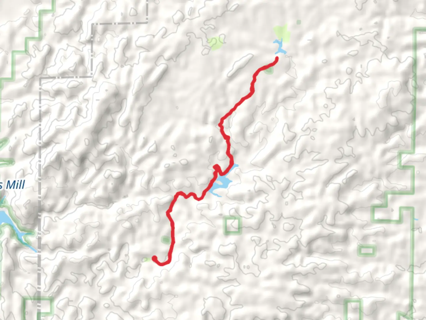
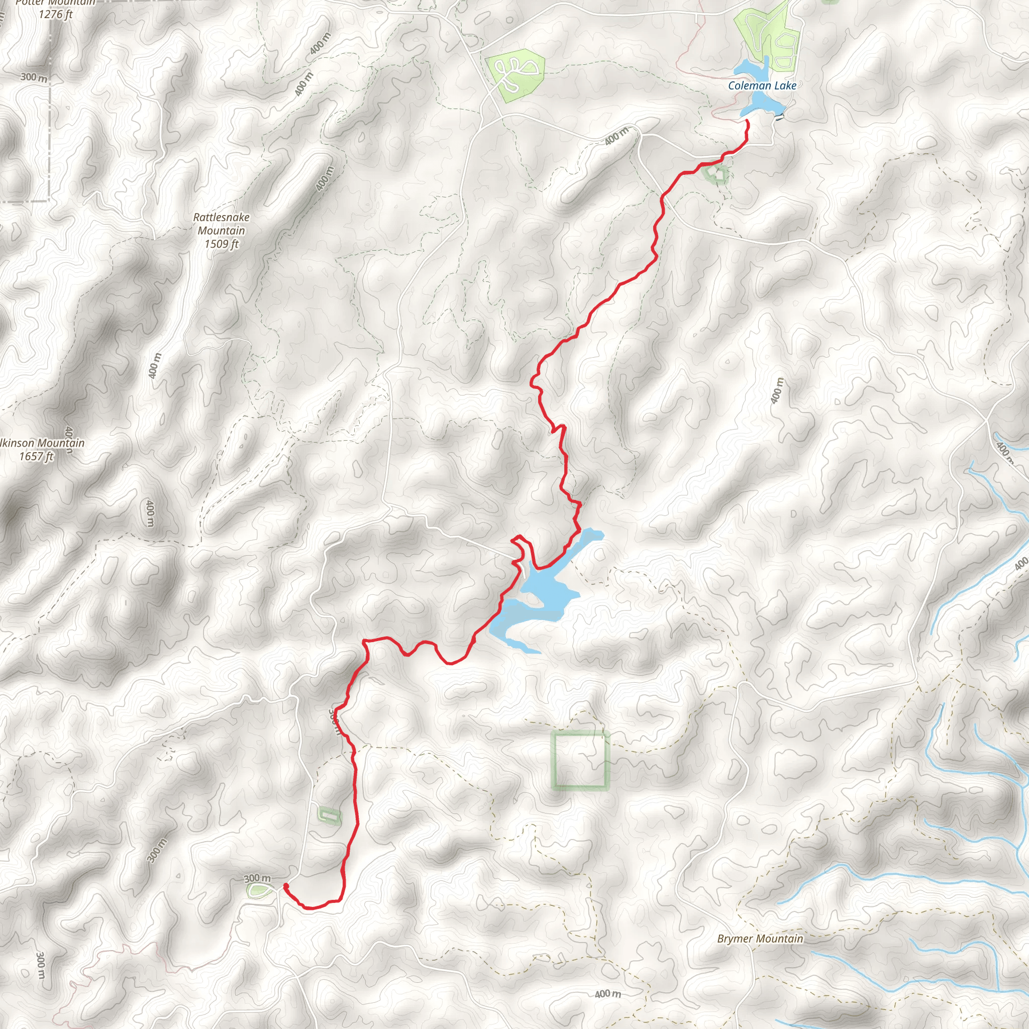
Embarking on the Coleman Lake via Pinhoti Trail, hikers will traverse approximately 21 kilometers (13 miles) round trip with an elevation gain of about 300 meters (984 feet). This journey begins near Cleburne County, Alabama, where the trailhead is accessible by car. To reach the starting point, drivers should navigate towards Coleman Lake Recreation Area, which is well-signposted and offers parking facilities.
As you set out on this out-and-back trail, you'll be greeted by a mixed forest canopy that provides a serene backdrop for the hike. The path is well-maintained and marked, making it a pleasure to navigate with the help of HiiKER for real-time trail information and mapping.
Flora and Fauna
The trail meanders through diverse ecosystems, home to a variety of wildlife. Keep an eye out for white-tailed deer, squirrels, and numerous bird species, including woodpeckers and hawks. The forest is rich with hardwoods and pines, and during the spring and fall, hikers can enjoy a vibrant display of wildflowers and autumn leaves.
Historical Significance
The region holds historical significance as part of the Pinhoti Trail, which is a segment of the Eastern Continental Trail and the Great Eastern Trail, linking several states and offering a glimpse into the natural history of the Appalachian foothills.
Landmarks and Points of Interest
Approximately 10 kilometers (6.2 miles) into the hike, you'll reach Coleman Lake, a picturesque spot perfect for a rest or a picnic. The lake area also features a campground if you wish to extend your stay and enjoy the tranquility of the surroundings.
Trail Navigation and Safety
While the trail is rated medium in difficulty, it's important to prepare adequately with water, snacks, and appropriate clothing for changing weather conditions. The elevation gain is gradual, but some sections can be rocky and require careful footing.
For navigation, HiiKER is the recommended tool to ensure you stay on the right path and can track your progress along the trail. It's also wise to let someone know your hiking plans and expected return time.
Accessing the Trail
Public transport options are limited in this rural area, so arriving by car is the most feasible option. From the nearest town of Heflin, Alabama, take Highway 78 west to County Road 61, and follow the signs directing you to Coleman Lake Recreation Area.
Remember to check the weather forecast before you depart and to leave no trace, preserving the beauty of the trail for future hikers. Enjoy the peacefulness of the forest and the gentle lapping of the lake's waters as you make your way along the Coleman Lake via Pinhoti Trail.
What to expect?
Activity types
Comments and Reviews
User comments, reviews and discussions about the Coleman Lake via Pinhoti Trail, Alabama.
4.48
average rating out of 5
71 rating(s)
