Download
Preview
Add to list
More
16.2 km
~4 hrs 16 min
618 m
Loop
“Embark on a vibrant trek through Dolly Sods' diverse wilds, where history and nature intertwine.”
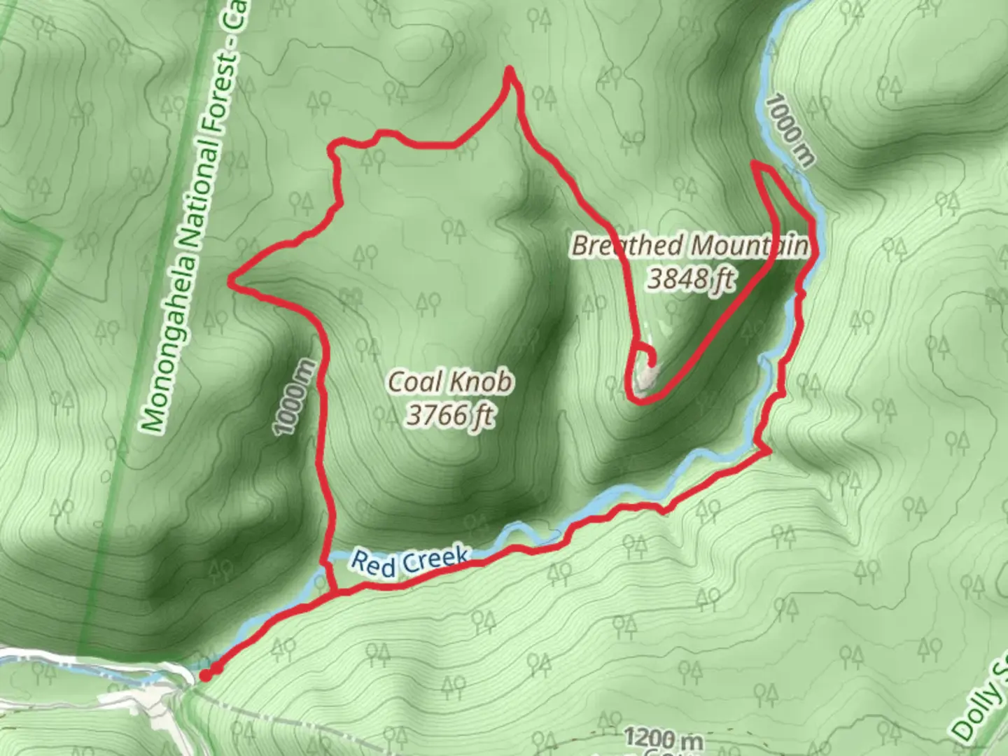
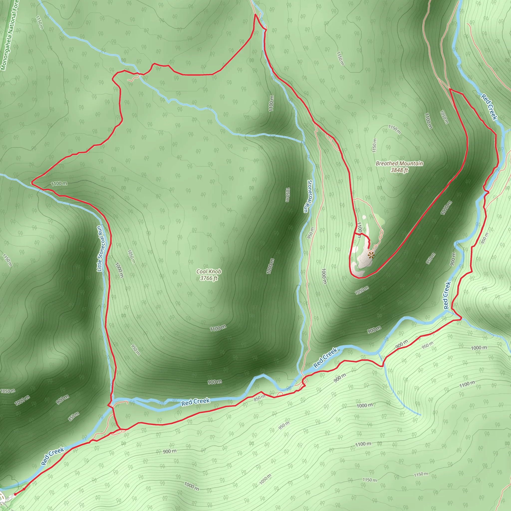
The Red Creek and Rocky Point Trail, nestled in the scenic Tucker County, West Virginia, offers an immersive experience into the heart of the Dolly Sods Wilderness. This approximately 16 km (10 miles) loop trail, with an elevation gain of around 600 meters (nearly 2000 feet), is a journey through varied landscapes, from lush forests to rocky outcrops, providing a medium difficulty hike that caters to those with some experience on the trails.### Getting to the TrailheadTo reach the trailhead, hikers can drive to the Dolly Sods Wilderness area, which is accessible via Forest Road 75 near the town of Davis, WV. The closest significant landmark is the Bear Rocks Preserve, a popular spot for its unique rock formations and sweeping views. For those relying on public transportation, options are limited, and it's advisable to rent a car from nearby cities such as Elkins or Morgantown.### The Hike ItselfUpon embarking on the Red Creek and Rocky Point Trail, hikers will traverse through a diverse array of ecosystems. The initial segment of the trail meanders through a dense spruce and fir forest, reminiscent of landscapes typically found in Canada. The soft forest floor and the whispering winds through the conifers create a serene atmosphere.As the trail progresses, the elevation begins to increase gradually. Hikers will encounter the first significant landmark, the Red Creek, which the trail is named after. This creek is a vital water source for the local wildlife and offers a picturesque spot for a rest or a photo opportunity. It's essential to be mindful of the water levels, especially after heavy rains, as the creek can become challenging to cross.### Landmarks and SceneryContinuing on, the trail opens up to reveal the Rocky Point, an area that provides panoramic views of the surrounding wilderness. The rocky ledges here are a testament to the geological history of the region, with weathered sandstone formations that date back millions of years. The views from Rocky Point are particularly breathtaking during the fall when the foliage transforms into a vibrant tapestry of colors.The trail also passes through areas rich in historical significance. The Dolly Sods Wilderness was the site of extensive logging and land clearing in the early 20th century, and later, it was used as a training ground during World War II. Evidence of this history can be seen in the occasional remnants of old logging roads and artillery shell craters.### Flora and FaunaThroughout the hike, the diverse habitats support a wide range of flora and fauna. Hikers might spot white-tailed deer, black bears, and a variety of bird species, including the rare Cheat Mountain salamander. The plant life is equally varied, with wild blueberries, cranberries, and the carnivorous sundew plant found in the bogs and wetlands.### Navigation and PreparationTo navigate the trail, hikers should use the HiiKER app, which provides detailed maps and GPS tracking to ensure a safe and enjoyable experience. It's crucial to come prepared with adequate water, food, and layers of clothing, as the weather in the Dolly Sods Wilderness can be unpredictable. Additionally, sturdy hiking boots are recommended to handle the rocky and sometimes muddy terrain.### ConclusionThe Red Creek and Rocky Point Trail is a journey through time, nature, and the elements. It offers a moderate challenge for hikers and a chance to witness the unique beauty of the Dolly Sods Wilderness. With careful preparation and a spirit of adventure, this trail promises an unforgettable hiking experience.
What to expect?
Activity types
Comments and Reviews
User comments, reviews and discussions about the Red Creek and Rocky Point Trail, West Virginia.
4.44
average rating out of 5
50 rating(s)
