Download
Preview
Add to list
More
21.7 km
~2 days
510 m
Multi-Day
“Embark on a scenic 22km hike through West Virginia's rugged Dolly Sods Wilderness, blending beauty and challenge.”
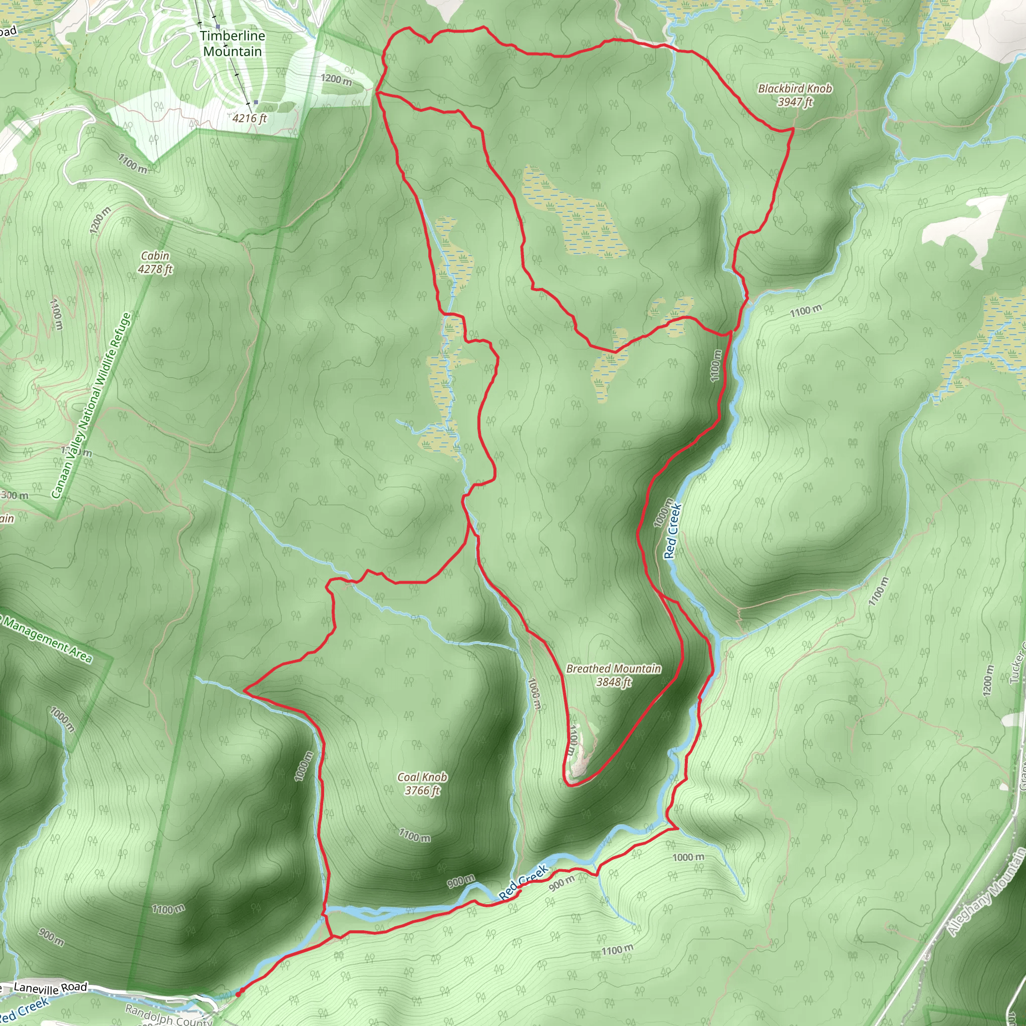
Embarking on the Dolly Sods Wilderness South Loop, hikers will traverse approximately 22 kilometers (roughly 13.7 miles) of diverse terrain with an elevation gain of around 500 meters (about 1640 feet). This loop, nestled in the Monongahela National Forest near Tucker County, West Virginia, offers a medium difficulty rating, making it accessible to hikers with some experience.
Getting to the Trailhead
To reach the trailhead, if you're driving, navigate to Forest Road 75 near Tucker County, which is the closest landmark to the starting point. For those relying on public transportation, options are limited due to the remote nature of the area. It's advisable to rent a car from the nearest major town or city, as this will provide the most direct and convenient access to the wilderness area.
The Hike Itself
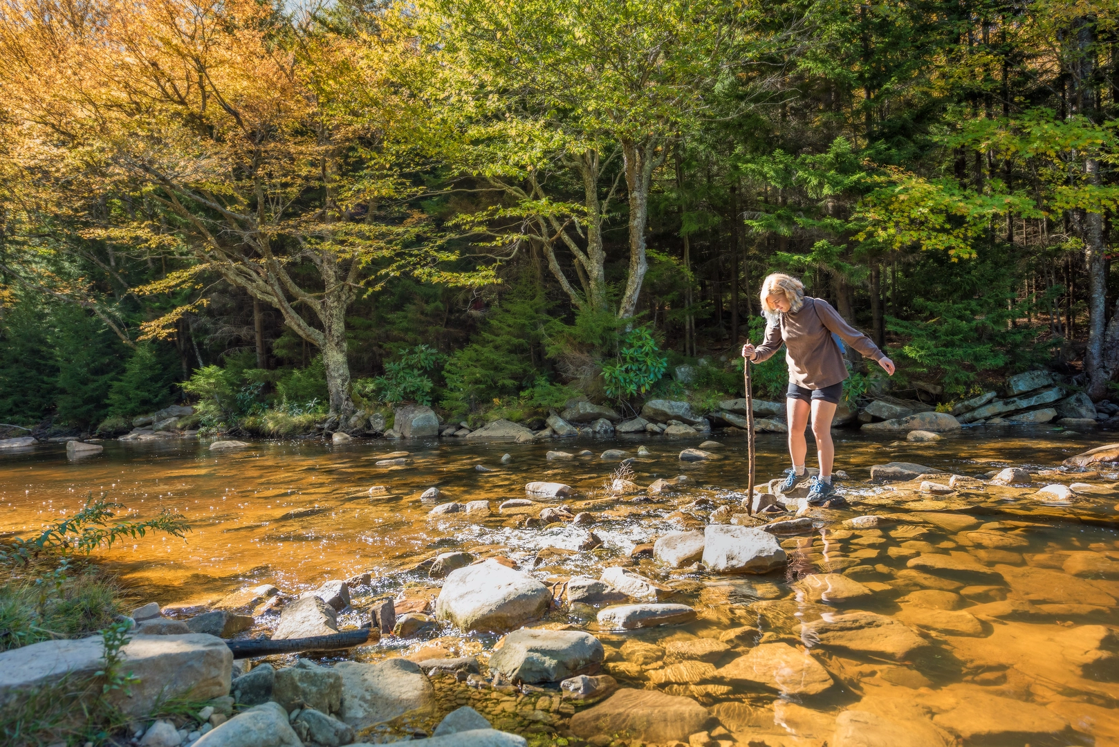
As you set out on the South Loop, you'll be greeted by the rugged beauty of the Dolly Sods Wilderness, known for its unique landscape that resembles the Canadian tundra. The trail will lead you through a mosaic of heath barrens, meadows dotted with blueberries and huckleberries, and dense spruce forests. The terrain is a mix of rocky paths, muddy areas, and stream crossings, so waterproof boots are recommended.
Approximately 3.5 miles in, you'll reach the Lion's Head rock outcrop, offering panoramic views of the surrounding wilderness. This is a perfect spot for a break and a photo opportunity. As you continue, the trail will take you past Red Creek, which can be a challenging crossing during high water. Always check the water levels before your hike using HiiKER to ensure safe passage.
Flora, Fauna, and Landmarks
The Dolly Sods Wilderness is home to a variety of wildlife, including black bears, deer, and numerous bird species. Be sure to practice bear safety by storing food properly and making noise while hiking. The area is also known for its wild blueberries and cranberries; feel free to enjoy them, but remember to leave some for the wildlife.
Historically, the region was used for military training during World War II, and unexploded ordinances may still be present. Stick to the marked trails and heed any posted warnings.
Navigational Tools
For navigation, HiiKER is an excellent tool to use for this trail. It will help you stay on track and provide real-time updates on your location. Given the wilderness nature of the area, it's also wise to carry a physical map and compass as backups.
Preparing for the Hike
Before setting out, ensure you have enough water and food for the journey, as there are no facilities along the trail. The weather in the Dolly Sods Wilderness can be unpredictable, so pack layers and be prepared for sudden changes in conditions. Lastly, leave no trace of your visit to preserve the wilderness for future hikers.
By following these guidelines and being prepared, your hike through the Dolly Sods Wilderness South Loop will be a memorable adventure through one of West Virginia's most stunning landscapes.
What to expect?
Activity types
Comments and Reviews
User comments, reviews and discussions about the Dolly Sods Wilderness South Loop, West Virginia.
4.5
average rating out of 5
20 rating(s)

