Download
Preview
Add to list
More
21.9 km
~1 day 0 hrs
411 m
Point-to-Point
“Traverse West Virginia's diverse 22-km trail, through berry-lined forests and meadows to historical Seneca Creek.”
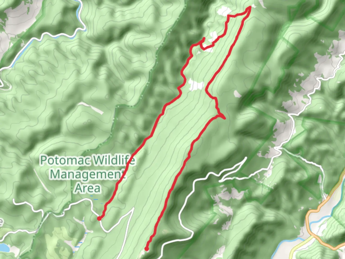
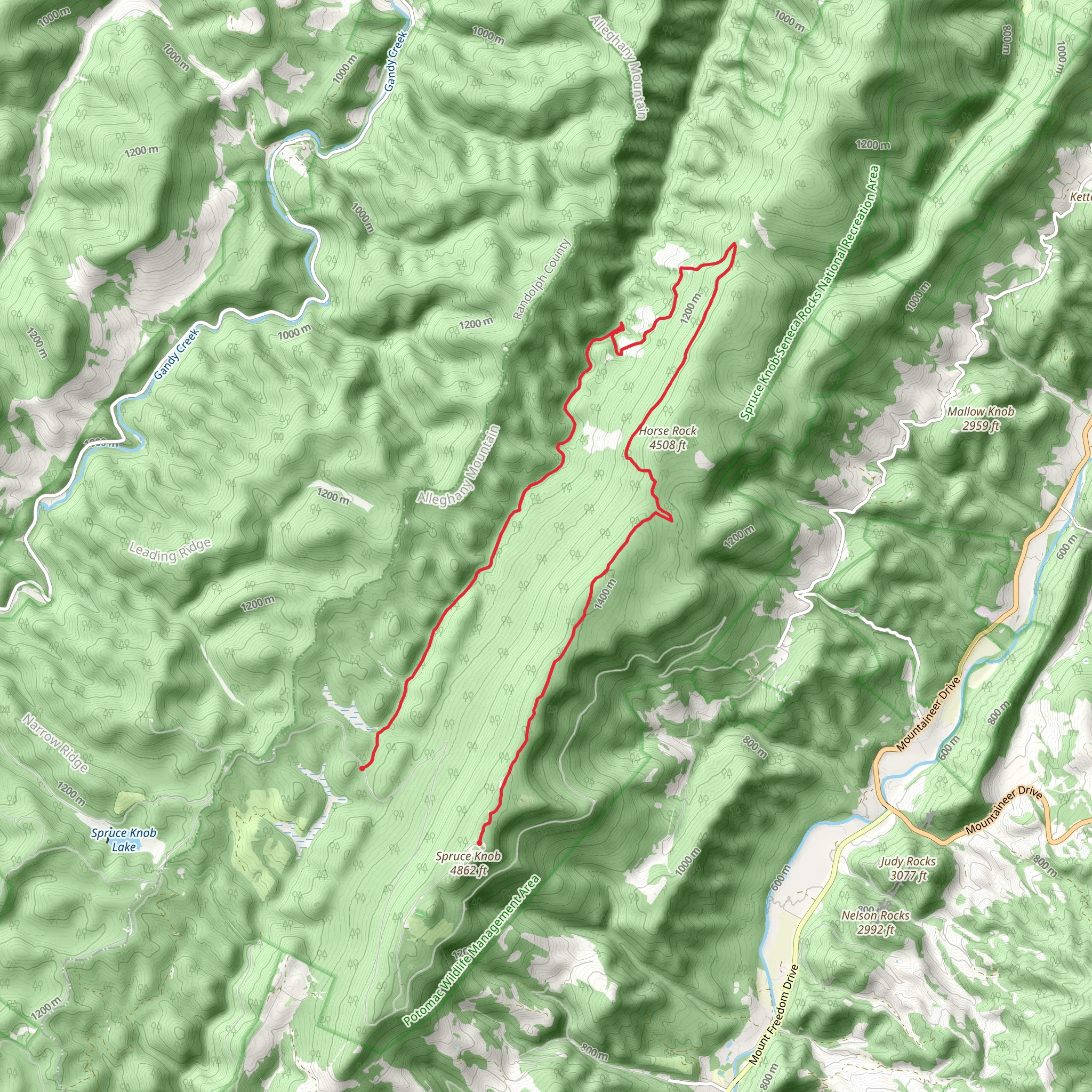
Embarking on the Huckleberry, High Meadows, and Seneca Creek Trail, hikers will traverse a diverse landscape that spans approximately 22 kilometers (around 13.7 miles) with an elevation gain of roughly 400 meters (about 1312 feet). This point-to-point trail is nestled in the scenic folds of Pendleton County, West Virginia, offering a medium difficulty rating that caters to hikers with some experience under their belts.
Getting to the Trailhead To reach the starting point of the trail, hikers can drive to a location near Spruce Knob, which is the highest peak in West Virginia. The trailhead is accessible via Whitmer Road, leading to Forest Road 112, where parking is available. For those relying on public transportation, options are limited, and it's advisable to check local resources for the latest schedules and routes that may get you close to the area, followed by a taxi or a pre-arranged shuttle to the trailhead.
Navigating the Trail As you set out on your hike, using a navigation tool like HiiKER can be invaluable for staying on track and being aware of upcoming waypoints. The trail meanders through a mix of dense forest canopies and open meadows, offering a variety of landscapes to enjoy.
Landmarks and Scenery Early in the hike, the trail will lead you through the Huckleberry section, where the forest floor is often dotted with the small, flavorful berries that give this part of the trail its name. Depending on the season, you may find yourself foraging for these wild treats. As you ascend towards the High Meadows area, the terrain opens up to reveal expansive views of the surrounding mountains, with wildflowers in the spring and summer adding splashes of color to the verdant landscape.
Continuing on, the trail descends into the Seneca Creek area, where the gentle babble of the creek accompanies hikers. This section is particularly picturesque, with several small waterfalls and the opportunity to spot local wildlife, such as deer, birds, and occasionally black bears, so be sure to hike with awareness and respect for the inhabitants.
Historical Significance The region is steeped in history, with the nearby Seneca Rocks being a prominent landmark that has served as a navigational point for Native Americans and later for European settlers. The area played a role during the Civil War, with both Union and Confederate troops moving through these mountains.
Preparation and Planning Before setting out, ensure you have adequate supplies, including water, food, and layers of clothing to adapt to the changing temperatures at different elevations. Weather can be unpredictable, so be prepared for rain or sudden temperature drops, especially in the higher meadows.
Remember to leave no trace, pack out all your garbage, and be considerate of the delicate ecosystems you'll encounter. The trail is best hiked from late spring to early fall to avoid snow and cold weather conditions.
Conclusion By preparing accordingly and respecting the natural and historical significance of the area, hikers can fully enjoy the beauty and challenges of the Huckleberry, High Meadows, and Seneca Creek Trail.
What to expect?
Activity types
Comments and Reviews
User comments, reviews and discussions about the Huckleberry, High Meadows and Seneca Creek Trail, West Virginia.
4.62
average rating out of 5
66 rating(s)
