Download
Preview
Add to list
More
8.6 km
~2 hrs 2 min
191 m
Loop
“Explore Shannondale Springs' 9 km loop for scenic views, historical ruins, and diverse wildlife.”
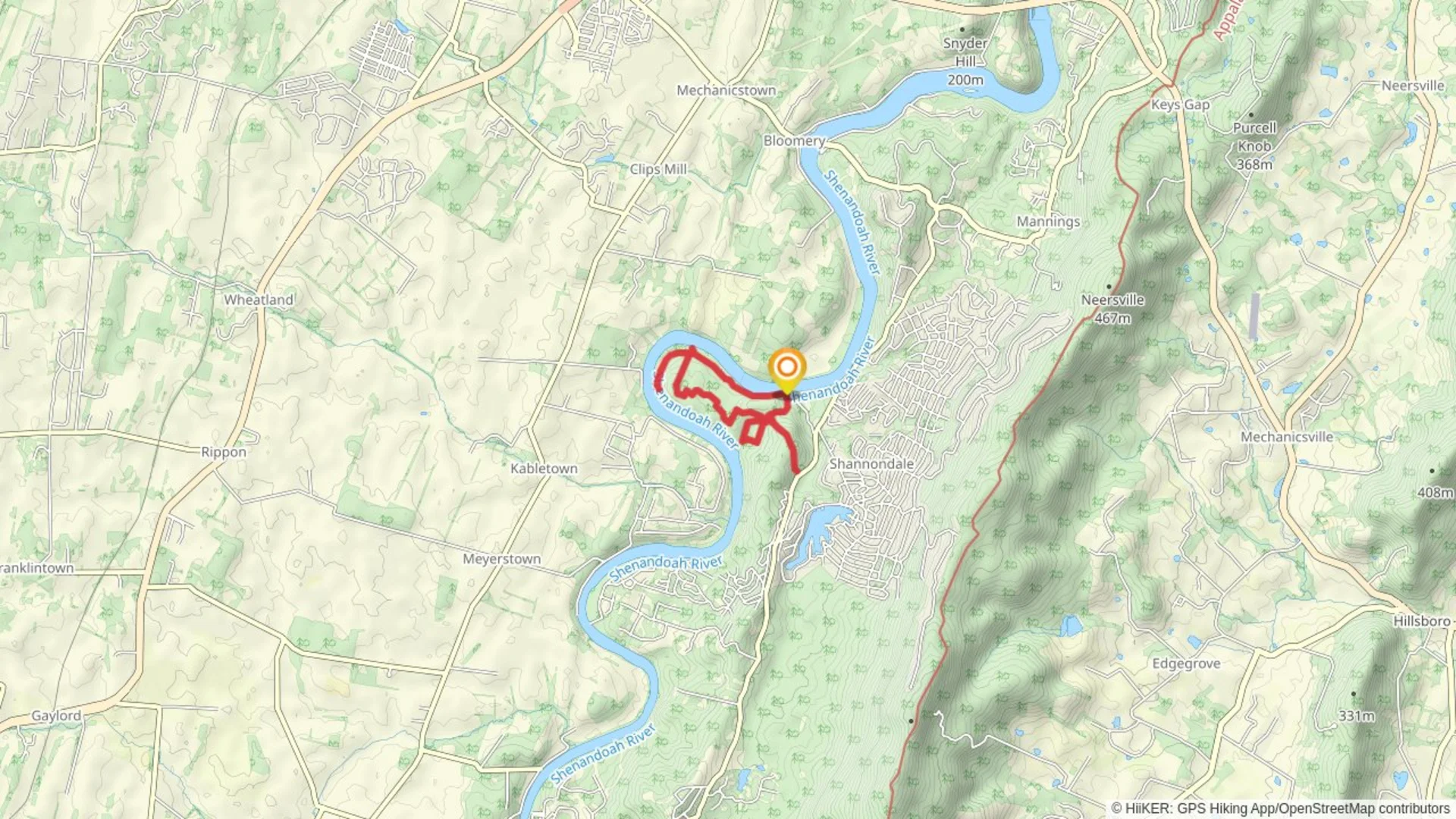
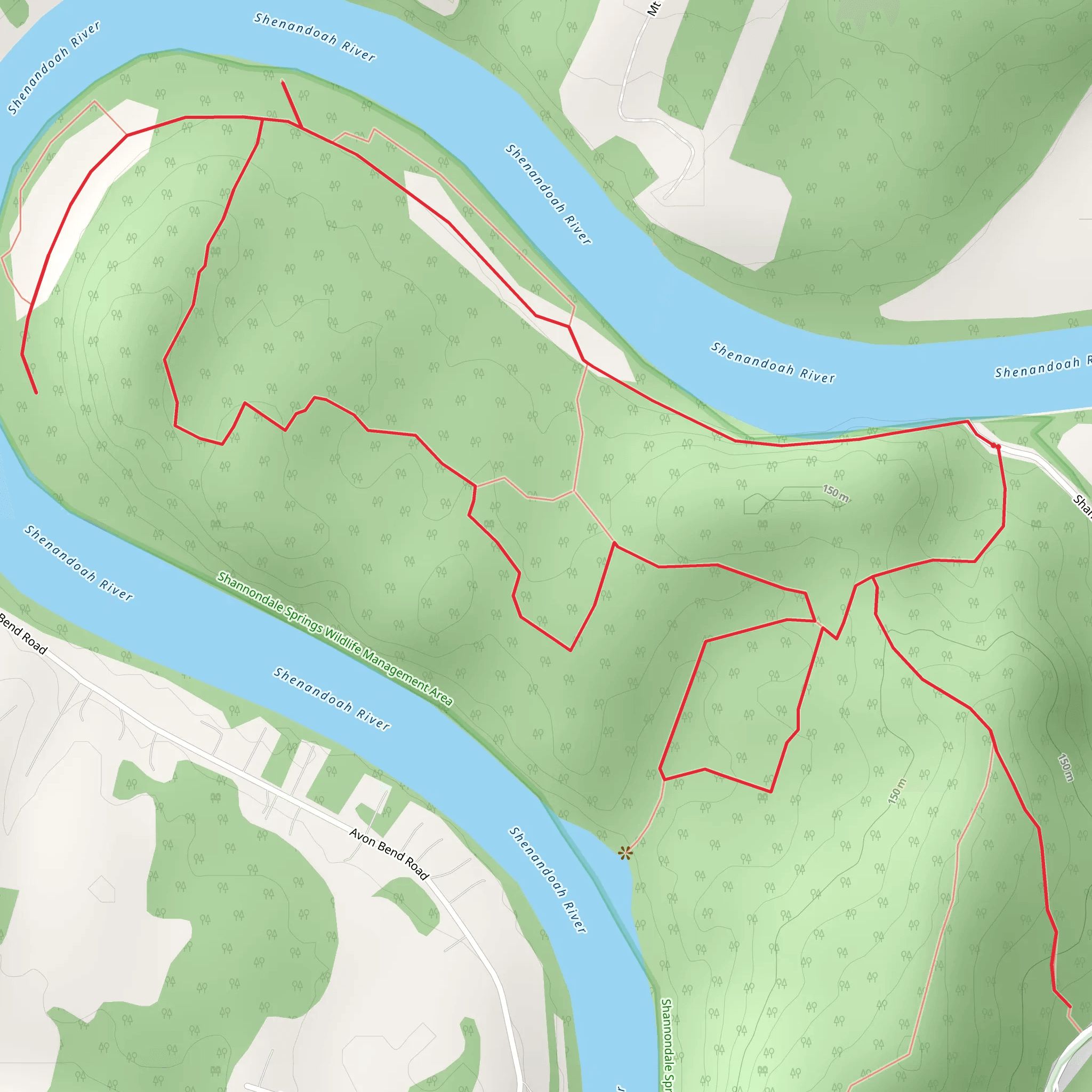
Starting near Jefferson County, West Virginia, the Shannondale Springs Wildlife Management Area Loop is a captivating 9 km (5.6 miles) trail with an elevation gain of approximately 100 meters (328 feet). This loop trail is rated as medium difficulty, making it suitable for moderately experienced hikers.
Getting There To reach the trailhead, you can drive or use public transport. If driving, head towards the Shannondale Springs Wildlife Management Area, located near the town of Harpers Ferry. The nearest significant landmark is the Harpers Ferry National Historical Park. For those using public transport, the closest major transit hub is the Harpers Ferry Amtrak Station. From there, you may need to arrange a taxi or rideshare service to the trailhead.
Trail Overview The loop begins with a gentle ascent through a mixed hardwood forest, offering a serene start to your hike. The initial 1.5 km (0.9 miles) takes you through dense foliage, where you might spot white-tailed deer and various bird species. Keep an eye out for the vibrant wildflowers that bloom in spring and early summer.
Historical Significance As you progress, you'll encounter remnants of the area's historical past. Shannondale Springs was once a popular resort destination in the 19th century, known for its mineral springs. Around the 3 km (1.9 miles) mark, you'll find the ruins of old resort buildings, offering a glimpse into the region's storied history.
Mid-Trail Highlights At approximately 4.5 km (2.8 miles), the trail reaches its highest point, providing a modest but rewarding elevation gain. Here, you'll be treated to panoramic views of the surrounding landscape, including the Shenandoah River. This is an excellent spot for a break and some photography.
Wildlife and Nature Descending from the high point, the trail meanders through a series of meadows and wetlands. These areas are rich in biodiversity, home to amphibians, reptiles, and a variety of plant species. The wetlands are particularly vibrant in the late spring and early summer, with lush greenery and the sounds of frogs and insects filling the air.
Navigation and Safety The trail is well-marked, but it's always wise to carry a reliable navigation tool. HiiKER is an excellent app for this purpose, providing detailed maps and real-time location tracking. Be sure to wear sturdy hiking boots, as some sections can be muddy, especially after rain.
Final Stretch The last 2 km (1.2 miles) of the loop take you back through the forest, gradually descending towards the trailhead. This section is relatively easy, allowing you to cool down and reflect on the diverse landscapes and historical sites you've encountered.
Practical Tips - Bring plenty of water, especially during the warmer months. - Use insect repellent to protect against ticks and mosquitoes. - Check the weather forecast before heading out, as conditions can change rapidly.
This trail offers a balanced mix of natural beauty, historical intrigue, and moderate physical challenge, making it a rewarding experience for those who venture into the Shannondale Springs Wildlife Management Area.
What to expect?
Activity types
Comments and Reviews
User comments, reviews and discussions about the Shannondale Springs Wildlife Management Area Loop, West Virginia.
4.39
average rating out of 5
57 rating(s)

