Download
Preview
Add to list
More
13.2 km
~4 hrs 45 min
1265 m
Out and Back
“Embark on a scenic ascent to Yellow Aster Butte through lush forests and alpine splendor, rewarding with breathtaking panoramas.”
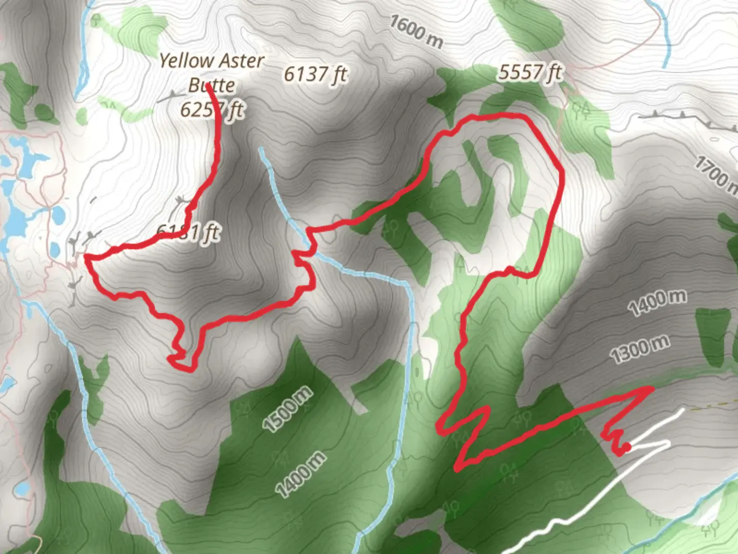
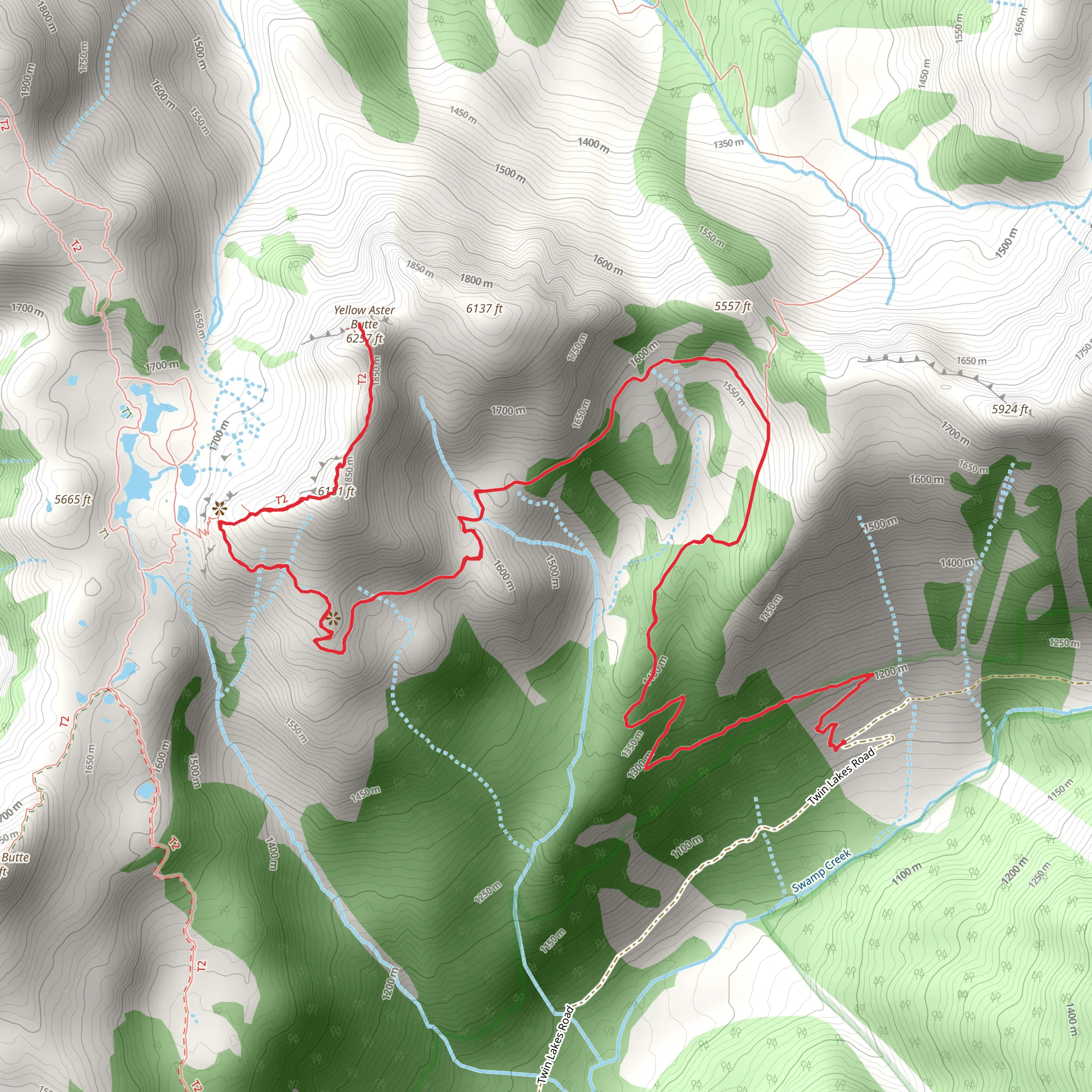
The Yellow Aster Butte via Tomyhoi Lake Trail is a scenic and rewarding hike located near Whatcom County, Washington. This out-and-back trail spans approximately 13 kilometers (about 8 miles) and features an elevation gain of around 1200 meters (nearly 3937 feet), offering hikers a medium difficulty level. The trailhead can be found off Twin Lakes Road, which is accessible by car. Public transportation options are limited in this area, so driving is the most feasible way to reach the starting point.Getting to the TrailheadTo reach the trailhead, take the Mount Baker Highway (SR-542) east from Bellingham. After passing the town of Glacier, turn left onto Twin Lakes Road (Forest Road 3065). The road is unpaved and can be rough, so a high-clearance vehicle is recommended. Continue on Twin Lakes Road until you reach the trailhead parking area. Be aware that the last stretch of the road is often closed due to snow until late June or early July.Navigating the TrailAs you embark on the hike, the first section of the trail meanders through a dense forest, gradually ascending. After about 2 kilometers (1.2 miles), the path opens up to subalpine meadows that burst with wildflowers in the late summer. The trail then steepens as it approaches the ridgeline, offering the first of many panoramic views.Landmarks and SceneryUpon reaching the ridgeline, hikers are rewarded with sweeping vistas of the surrounding peaks, including Mount Baker and Mount Shuksan. The trail continues along the ridge, providing a relatively flat section before the final push to the summit of Yellow Aster Butte. This area is known for its vibrant autumn colors, with the alpine larches turning a golden hue in the fall.Wildlife and NatureThe trail is also a habitat for various wildlife, including mountain goats, black bears, and marmots. Birdwatchers may spot species such as the gray jay, Clark's nutcracker, and the American pipit. It's important to keep a safe distance from wildlife and to practice Leave No Trace principles to protect the natural environment.Historical SignificanceThe region holds historical significance as part of the traditional territory of the Nooksack and other Indigenous peoples. European settlers explored the area in the late 19th century, and it later became part of the Mount Baker National Forest, established in 1924.Preparation and SafetyHikers should be prepared for rapidly changing weather conditions and should carry the ten essentials. Navigation can be tricky, especially in foggy conditions or when the trail is covered in snow. Using a navigation tool like HiiKER can help keep you on track. It's also advisable to check trail conditions and road closures before setting out, as the area is prone to avalanches in winter and early spring.ConclusionThe Yellow Aster Butte via Tomyhoi Lake Trail offers a diverse hiking experience with its mix of forested paths, alpine meadows, and stunning mountaintop views. Whether you're looking for a challenging day hike or an opportunity to immerse yourself in the natural beauty of the Pacific Northwest, this trail is a must-visit for avid hikers.
What to expect?
Activity types
Comments and Reviews
User comments, reviews and discussions about the Yellow Aster Butte via Tomyhoi Lake Trail, Washington.
4.73
average rating out of 5
11 rating(s)
