Download
Preview
Add to list
More
38.5 km
~2 day
1754 m
Point-to-Point
“"Explore a historical, scenic, and challenging 38 km trail from Whatcom County to Maple Falls, WA, with significant elevation gain."”
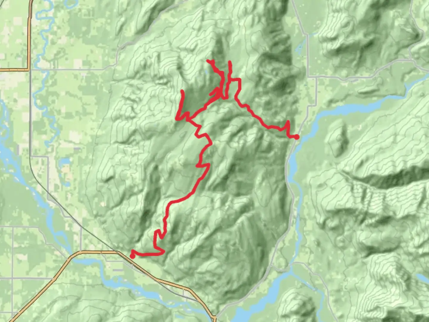
Starting near Whatcom County, Washington, this 38 km (about 24 miles) point-to-point trail offers a moderately challenging adventure with an elevation gain of approximately 1700 meters (around 5577 feet). The trailhead is accessible by car, and for those using public transport, the nearest significant landmark is the town of Sumas, WA. From Sumas, you can take a local taxi or rideshare to reach the trailhead.### Trail OverviewThe trail begins with a gradual ascent through dense forest, where you'll be surrounded by towering Douglas firs and Western red cedars. The initial 5 km (3 miles) are relatively gentle, gaining about 300 meters (984 feet) in elevation. This section is perfect for warming up your legs and getting accustomed to the terrain.### Coal Creek SectionAround the 6 km (3.7 miles) mark, you'll encounter Coal Creek. This area is rich in history, as it was once a bustling coal mining region in the late 19th and early 20th centuries. Remnants of old mining equipment and structures can still be seen along the trail, offering a glimpse into the past. The creek itself is a serene spot, ideal for a short break and some photos.### Saar Creek and Mid-Trail ChallengesContinuing on, the trail becomes steeper as you approach Saar Creek, located approximately 15 km (9.3 miles) from the start. This section is more challenging, with an elevation gain of about 500 meters (1640 feet) over 4 km (2.5 miles). Saar Creek is a beautiful, cascading waterway that provides a refreshing atmosphere and a chance to refill your water bottles. Make sure to use a water filter or purification tablets.### Wildlife and FloraAs you hike further, keep an eye out for local wildlife. Black bears, deer, and various bird species are commonly spotted in this region. The flora also changes as you gain elevation, with alpine meadows and wildflowers becoming more prevalent. This is particularly noticeable around the 20 km (12.4 miles) mark, where the trail levels out briefly before the final ascent.### Final Ascent and Summit ViewsThe last 10 km (6.2 miles) of the trail are the most strenuous, with an elevation gain of about 900 meters (2953 feet). This section requires careful navigation, and it's highly recommended to use HiiKER for accurate trail mapping and wayfinding. The trail becomes rocky and exposed, so be prepared for varying weather conditions.Upon reaching the summit of Sumas Mountain, you'll be rewarded with panoramic views of the surrounding valleys, the Fraser River, and even the distant peaks of the North Cascades. This is a perfect spot to rest, take in the scenery, and enjoy a well-deserved meal.### Descent and Trail EndThe descent begins gradually, with the trail winding through alpine forests and meadows. The final 8 km (5 miles) are a mix of gentle slopes and steeper sections, eventually leading you back into denser forest. The trail concludes near the town of Maple Falls, WA, where you can arrange for transportation back to your starting point or onward to your next destination.### Preparation and SafetyGiven the trail's length and elevation gain, it's crucial to be well-prepared. Carry sufficient water, high-energy snacks, and appropriate clothing for changing weather conditions. A first-aid kit, trekking poles, and a reliable navigation tool like HiiKER are essential. Always inform someone of your hiking plans and expected return time.This trail offers a blend of historical intrigue, natural beauty, and physical challenge, making it a rewarding experience for those prepared to tackle its demands.

What to expect?
Activity types
Comments and Reviews
User comments, reviews and discussions about the Sumas Mountain, Coal Creek and Saar Creek, Washington.
4.47
average rating out of 5
17 rating(s)