Download
Preview
Add to list
More
20.4 km
~1 day 1 hrs
1652 m
Out and Back
“Embark on the invigorating Shuksan Lake trail for lush forests, alpine meadows, and breathtaking mountain views.”
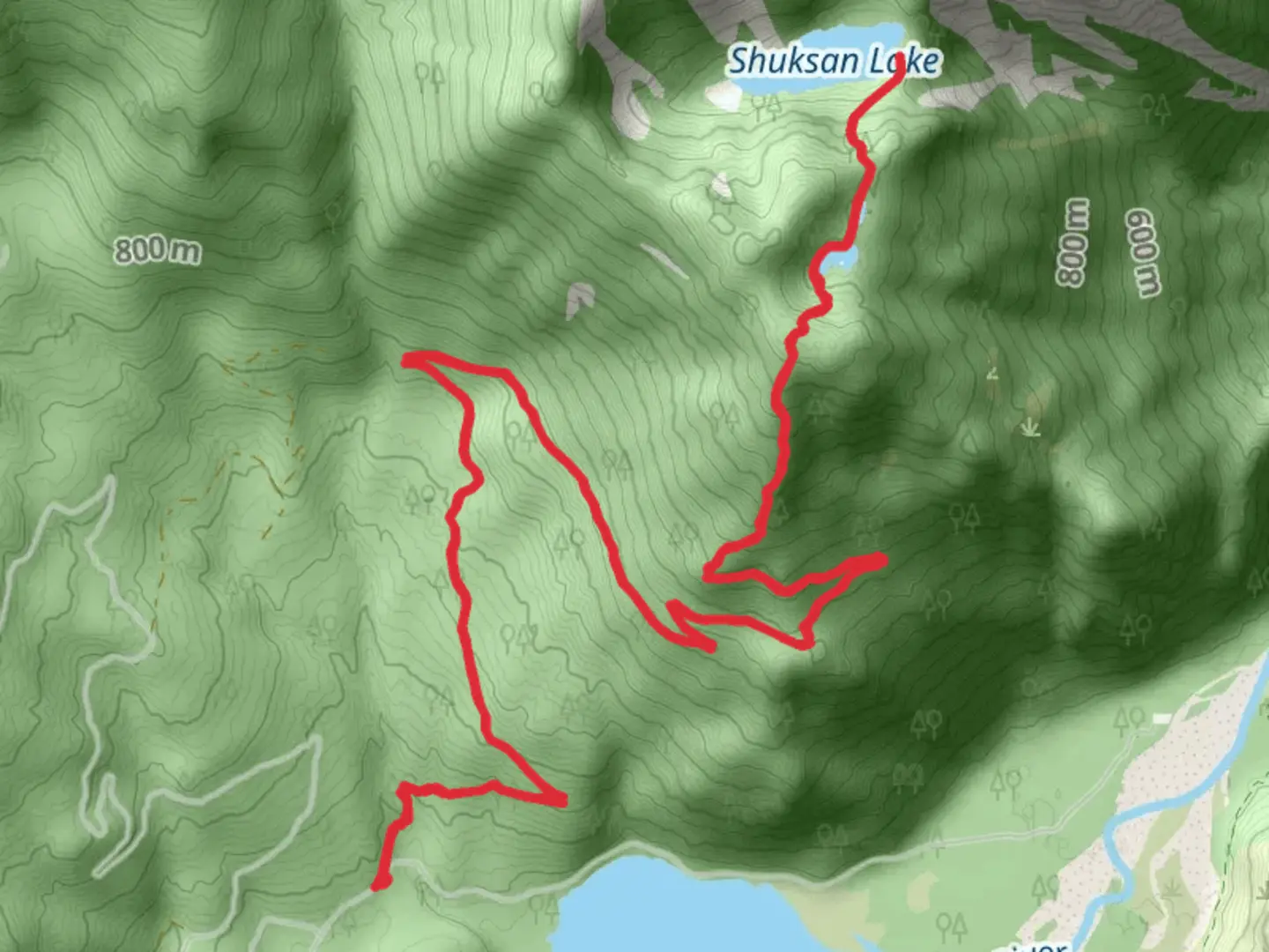
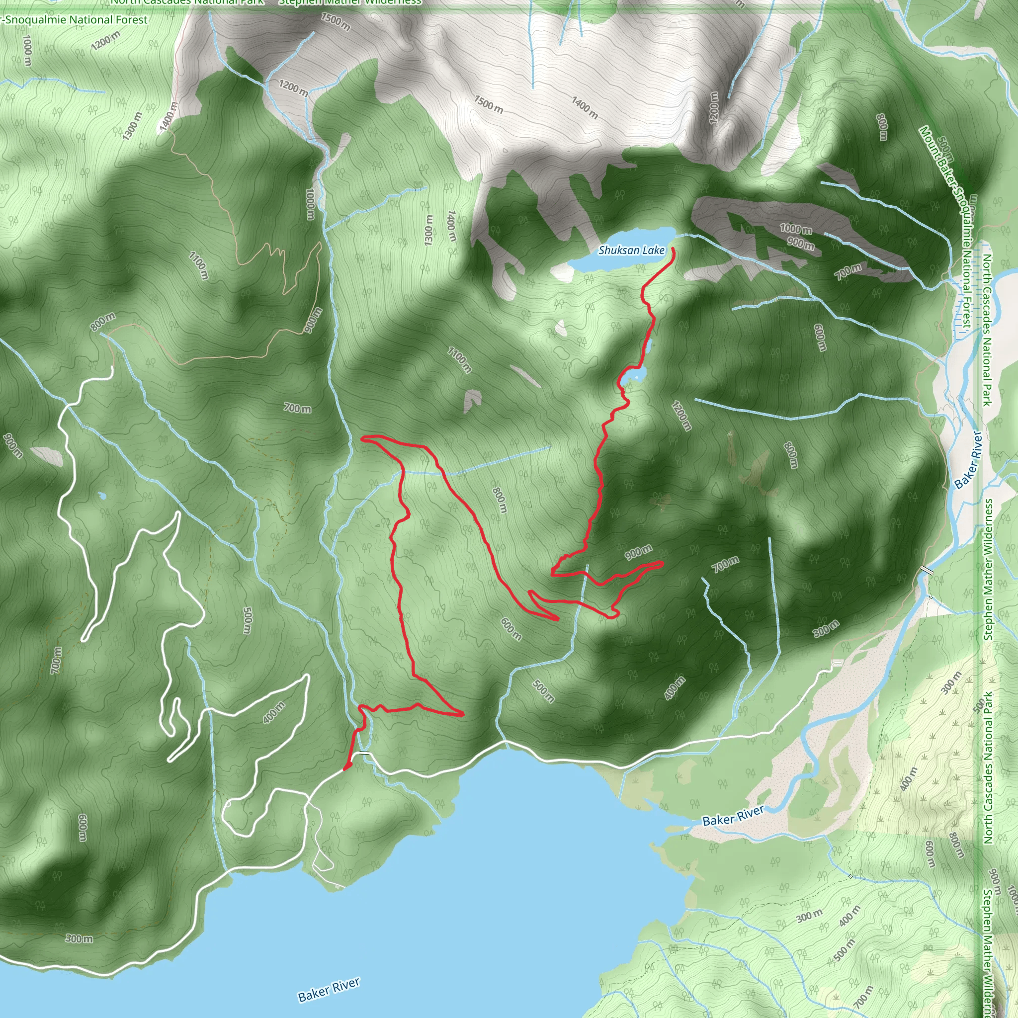
Starting near Whatcom County, Washington, the Shuksan Lake trail is an invigorating out-and-back hike that spans approximately 20 kilometers (12.4 miles) with an elevation gain of around 1600 meters (5,249 feet). This trail is rated as medium difficulty, making it suitable for hikers with some experience and a good level of fitness.### Getting There To reach the trailhead, you can drive or use public transportation. If driving, head towards the nearest significant landmark, the town of Glacier, Washington. From Glacier, follow the Mount Baker Highway (WA-542) eastward until you reach the turnoff for Forest Road 32. Continue on this road until you arrive at the trailhead parking area. For those using public transport, the nearest bus stop is in Glacier, serviced by the Whatcom Transportation Authority (WTA). From there, you may need to arrange a taxi or rideshare to the trailhead.### Trail Overview The trail begins with a gentle ascent through dense, old-growth forest. The first 3 kilometers (1.9 miles) are relatively easy, with an elevation gain of about 200 meters (656 feet). This section is rich with Douglas firs, western hemlocks, and a variety of ferns and mosses, creating a lush, green canopy overhead.### Mid-Trail Landmarks As you progress, the trail becomes steeper, climbing another 400 meters (1,312 feet) over the next 4 kilometers (2.5 miles). Around the 7-kilometer (4.3-mile) mark, you'll encounter a stunning waterfall cascading down a rocky cliff. This is a great spot to take a break and enjoy the natural beauty.Continuing onward, the trail opens up into alpine meadows filled with wildflowers during the summer months. Here, you might spot marmots, mountain goats, and a variety of bird species. The meadows also offer panoramic views of Mount Shuksan and the surrounding peaks, making it a prime location for photography.### Final Ascent and Shuksan Lake The final 3 kilometers (1.9 miles) to Shuksan Lake are the most challenging, with an elevation gain of approximately 600 meters (1,968 feet). The trail becomes rocky and uneven, requiring careful footing. As you near the lake, the terrain levels out, and you'll be greeted by the serene waters of Shuksan Lake, reflecting the towering peaks around it. This is an ideal spot for a picnic or simply to rest and take in the breathtaking scenery.### Historical Significance The region around Shuksan Lake has a rich history. It was originally inhabited by the Nooksack and Lummi tribes, who used the area for hunting and gathering. The name "Shuksan" is derived from a Lummi word meaning "high peak," a fitting description for the majestic mountain that dominates the landscape.### Navigation and Safety Given the trail's length and elevation gain, it's crucial to be well-prepared. Use the HiiKER app for navigation to ensure you stay on the correct path. The trail can be snow-covered in early spring and late fall, so check weather conditions and trail reports before heading out. Carry sufficient water, snacks, and layers of clothing to adapt to changing weather conditions.### Wildlife and Flora The trail offers a diverse range of flora and fauna. In addition to the old-growth forests and alpine meadows, you may encounter black bears, deer, and various bird species. Always practice Leave No Trace principles to preserve the natural beauty and wildlife of the area.This hike provides a rewarding experience with its mix of forest, meadows, and alpine scenery, making it a must-do for any hiking enthusiast visiting the Whatcom County region.
What to expect?
Activity types
Comments and Reviews
User comments, reviews and discussions about the Shuksan Lake, Washington.
4.5
average rating out of 5
4 rating(s)
